That’s No Fen

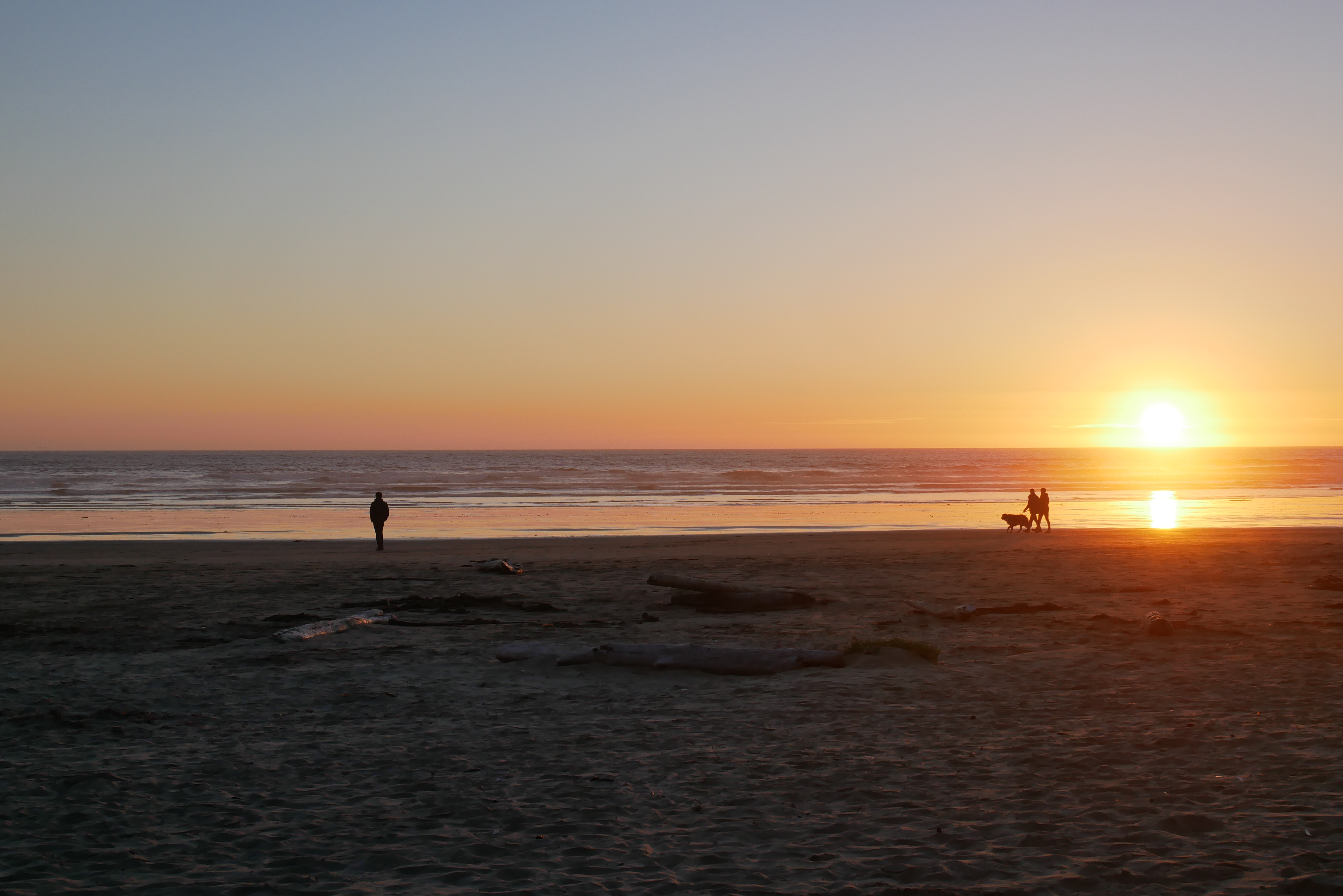
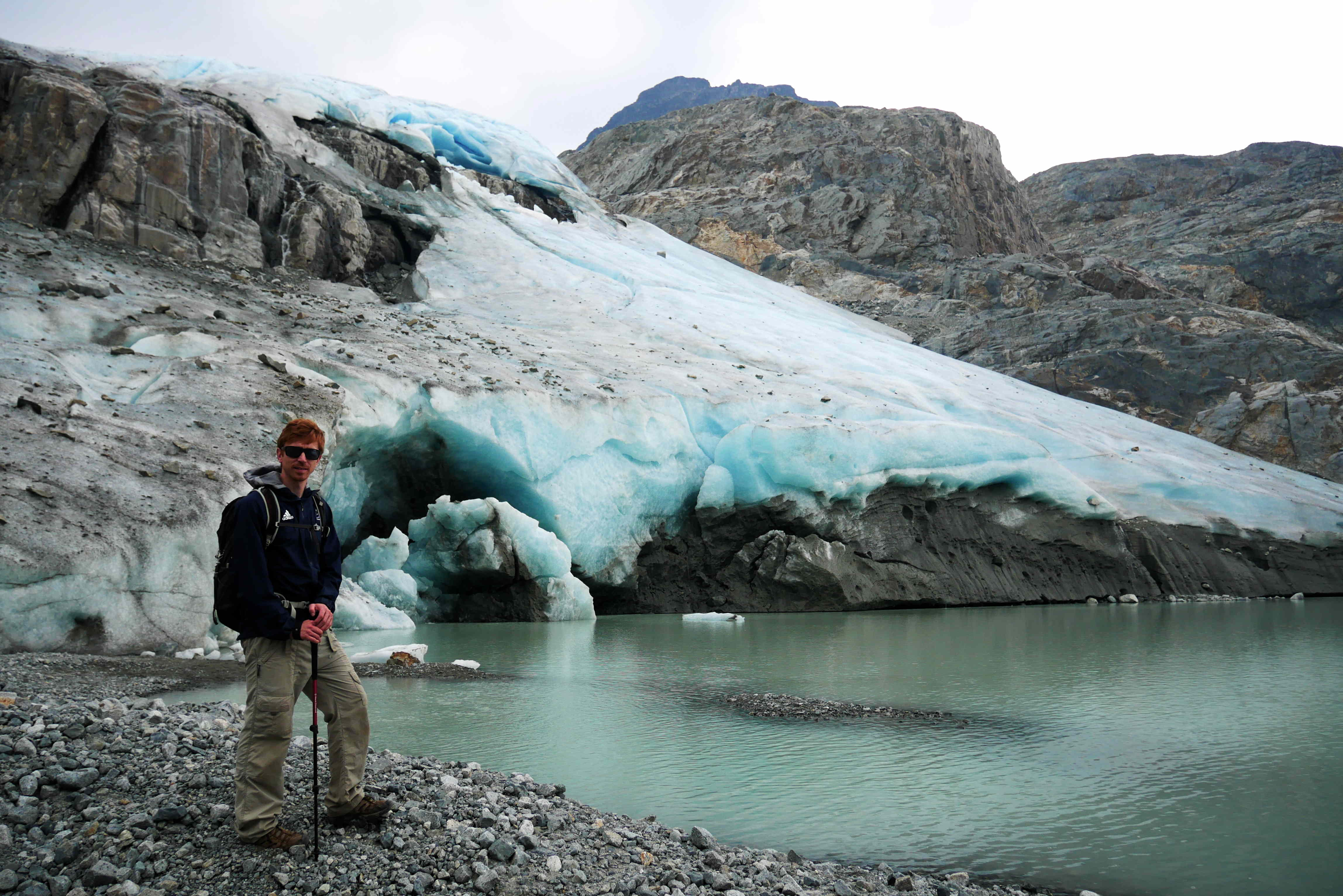
The village of Burwell, UK, is located roughly 10 miles North East of Cambridge on the south-east edge of the Fens. The mountain of Burwell, Canada, is a remote granite dome located at the limit of legal backcountry access. One was named by the Anglo-Saxons, due to there being a fort (burh) close to a spring (well), and the other was named in the 20th century after an engineer who worked on the water mains in the Vancouver area.

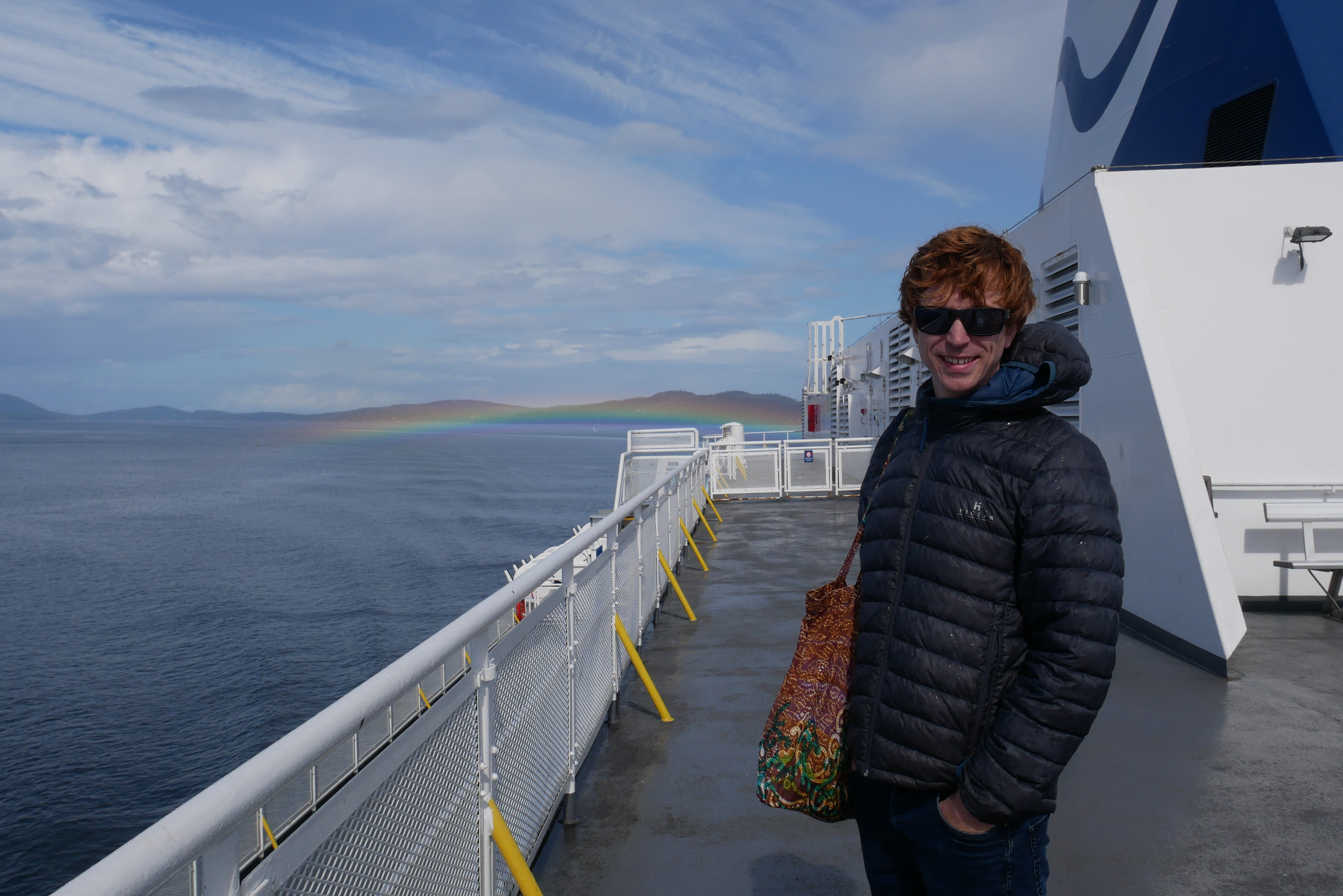
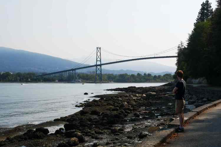
We’ve never been to Burwell in the UK, where Rosie’s sister now lives, and the trip to get there seemed a bit daunting. So we decided to visit Mount Burwell instead!

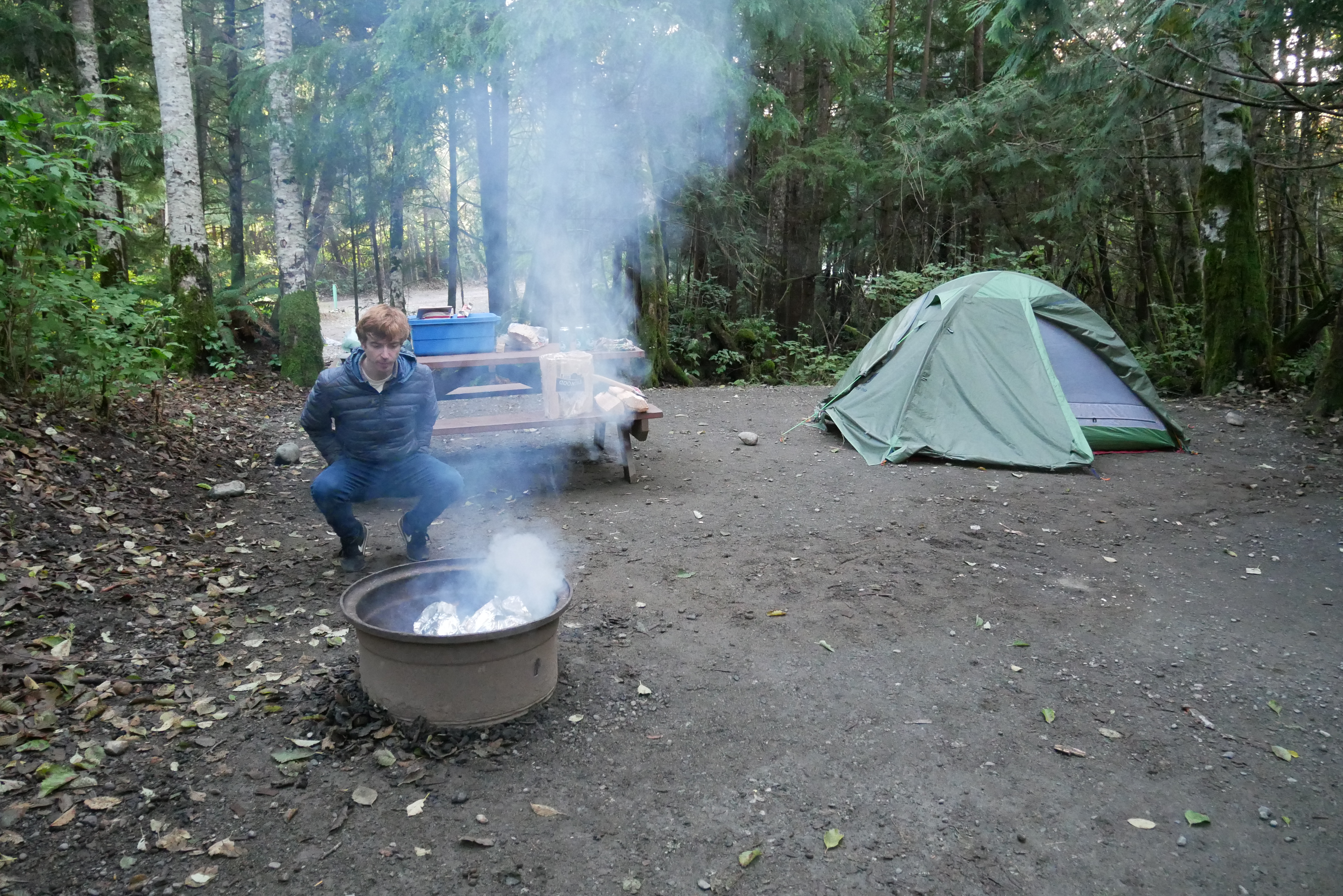
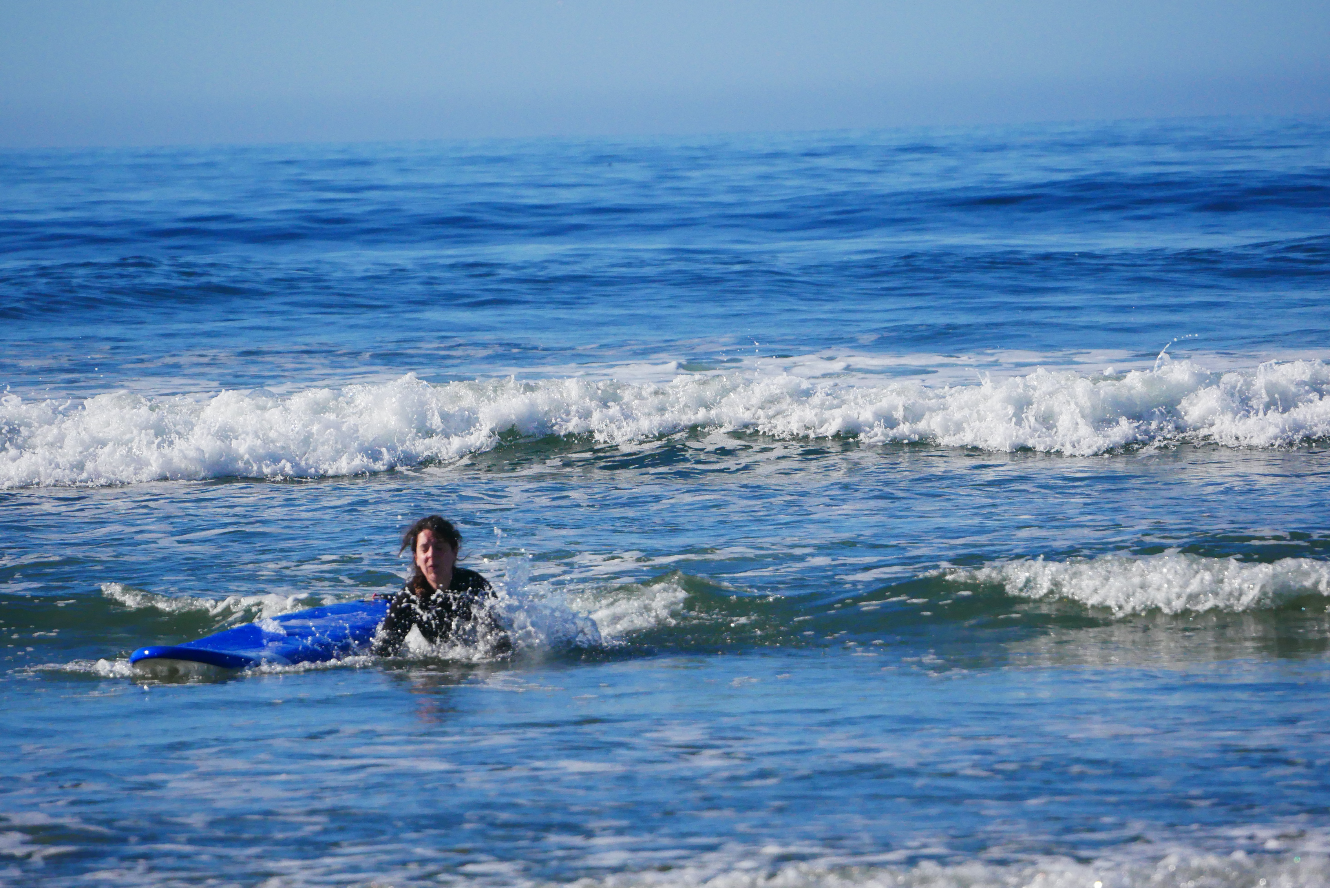
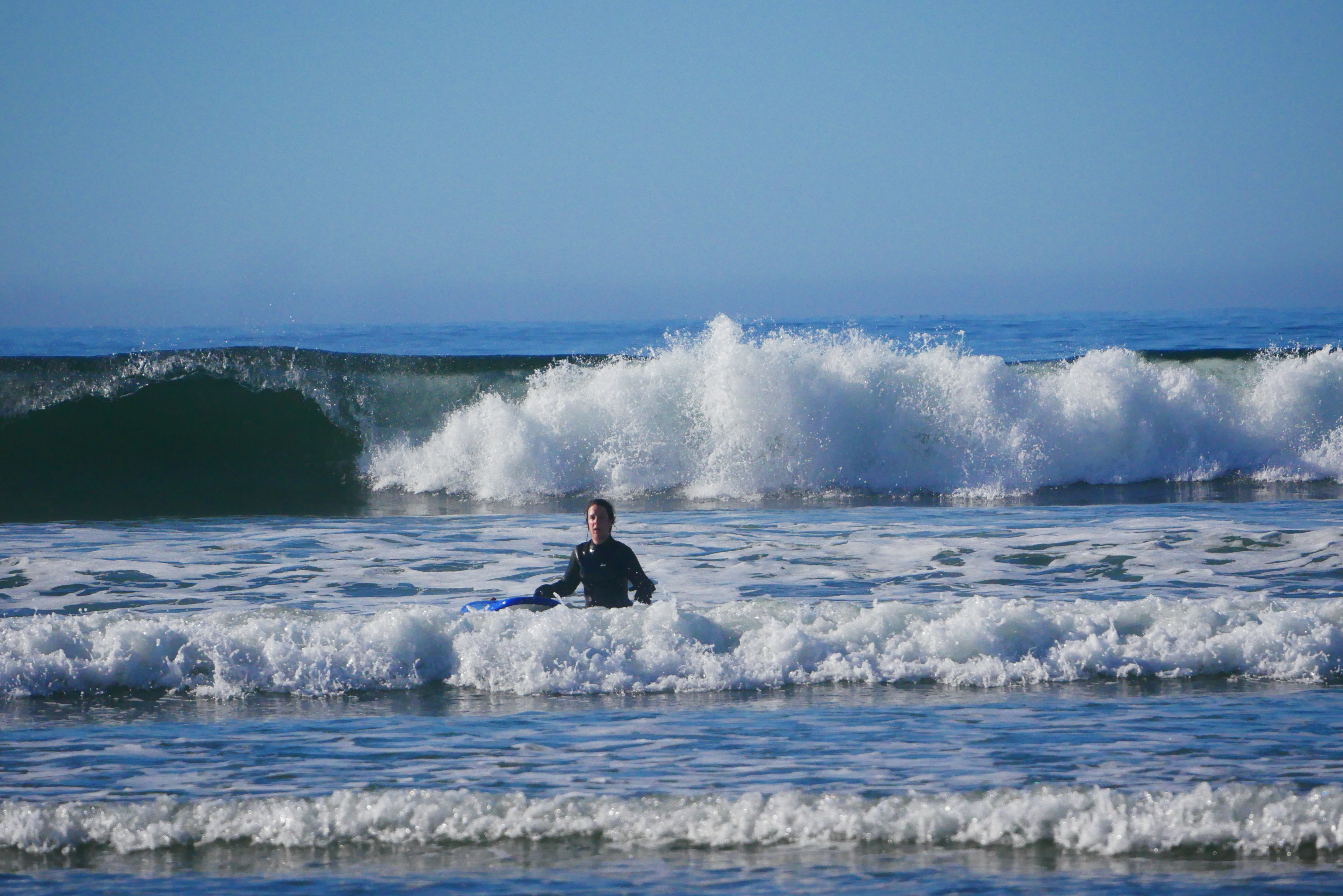
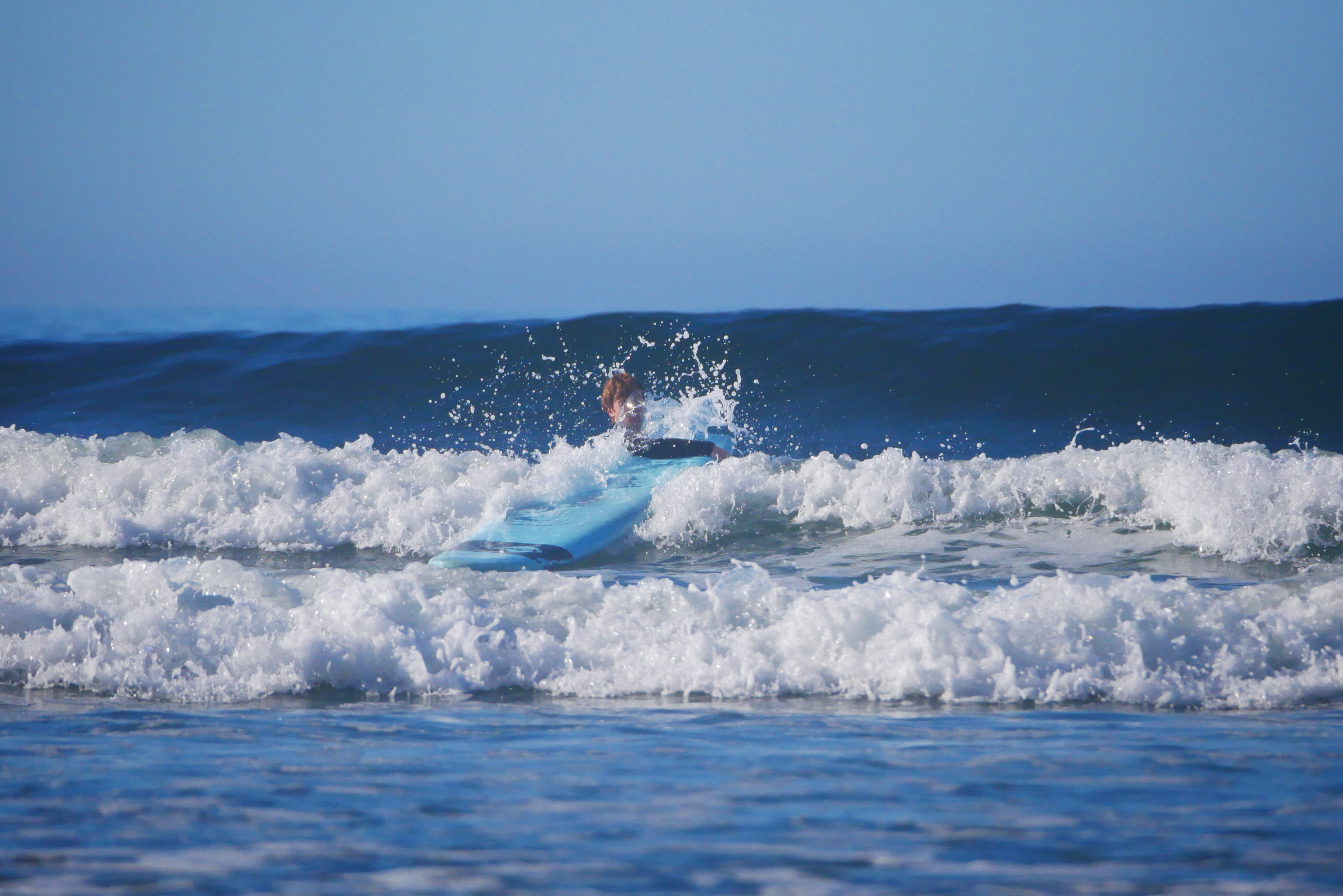
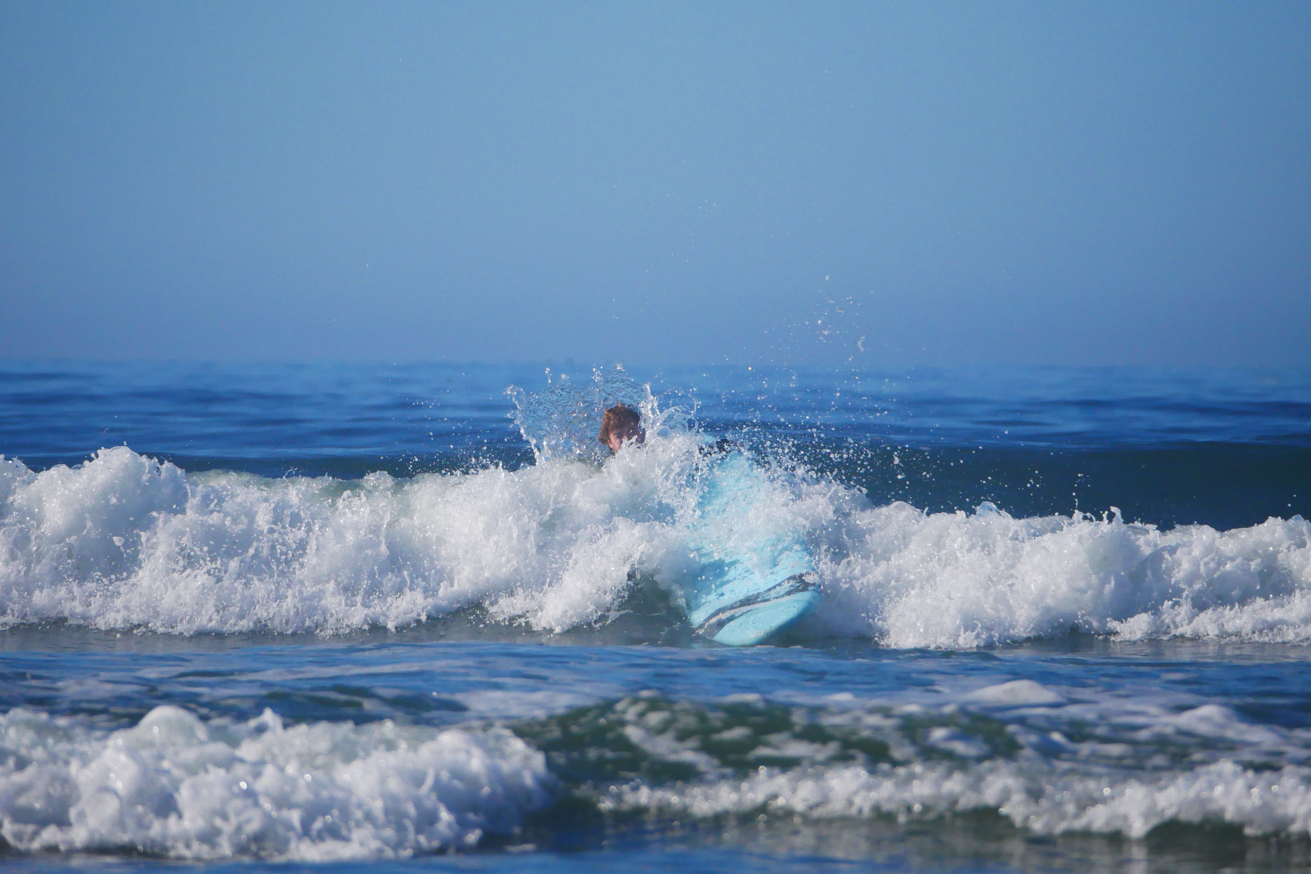
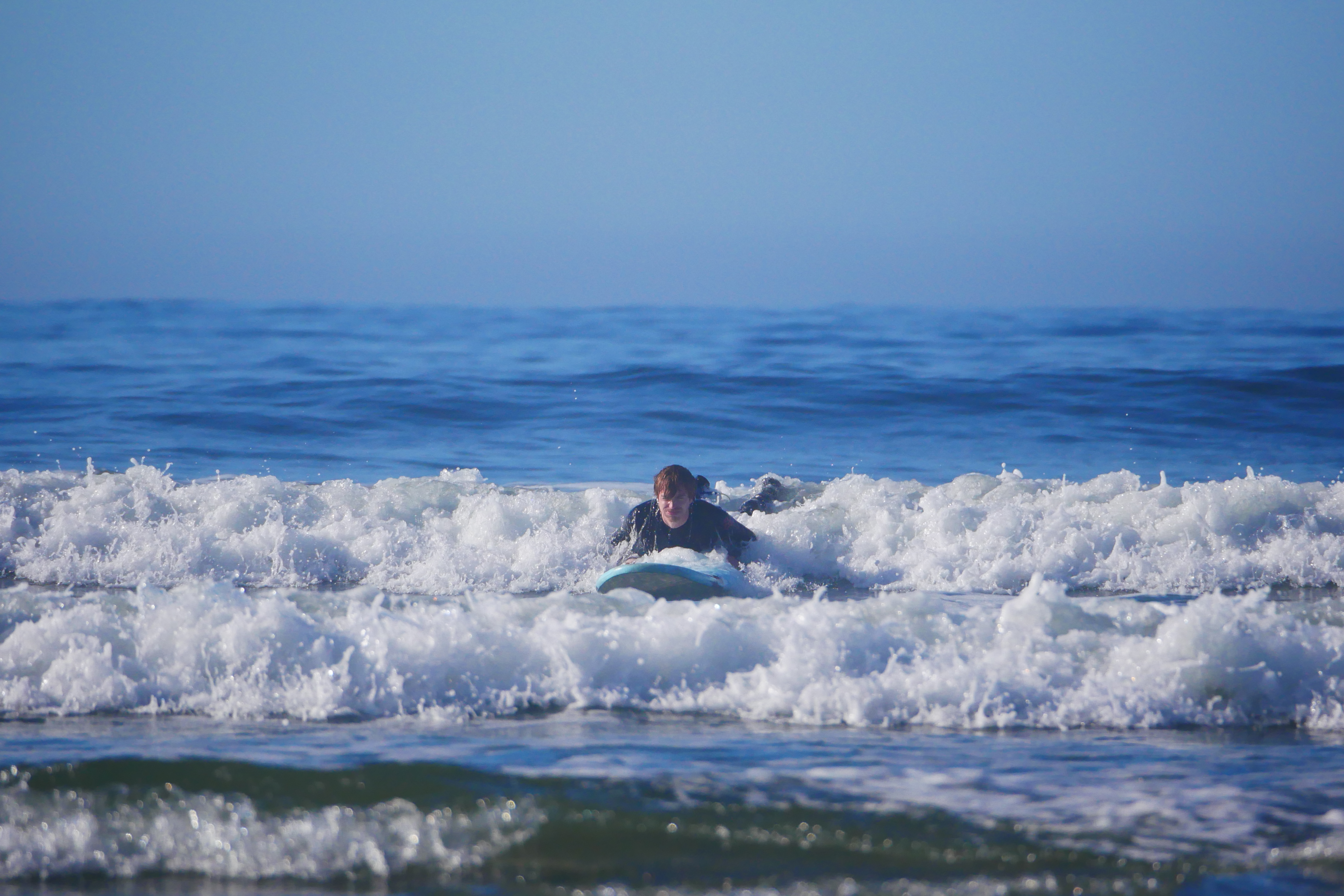
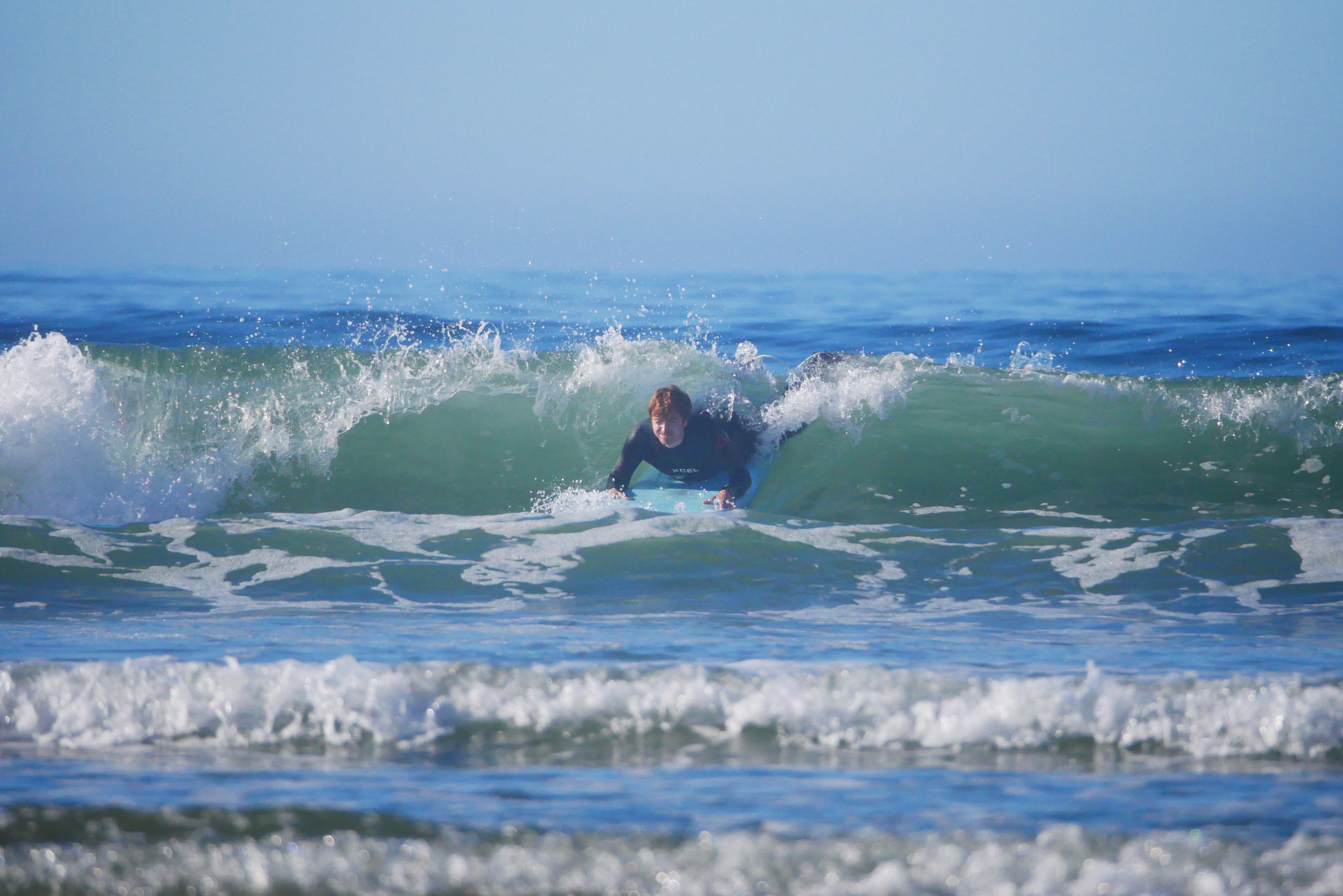
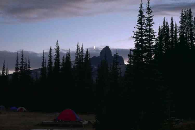
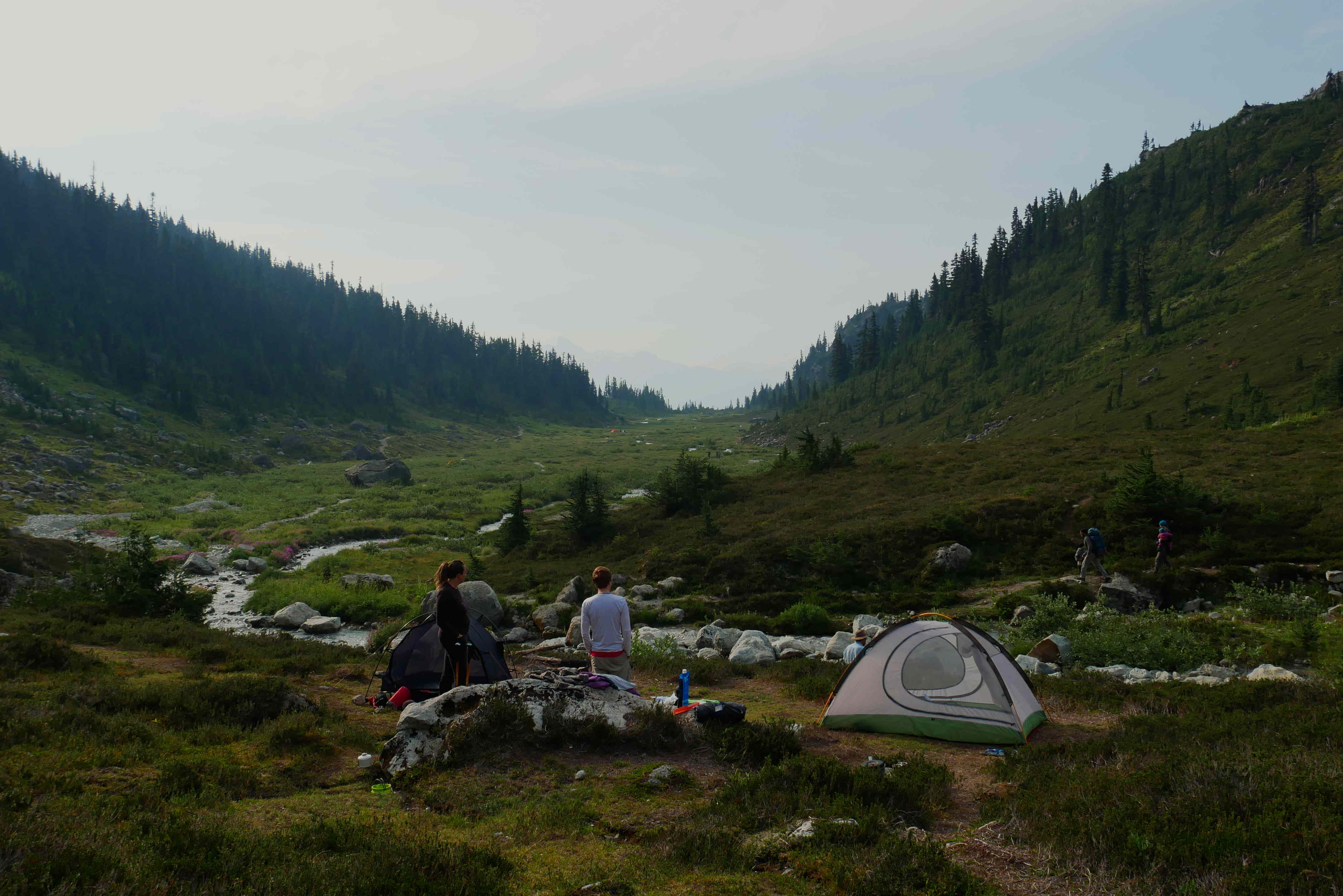
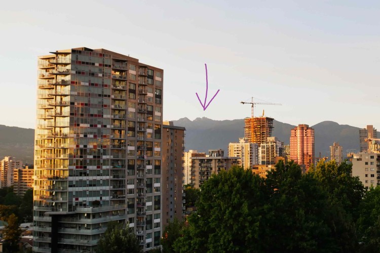
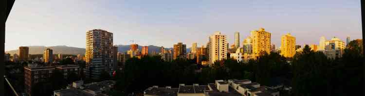
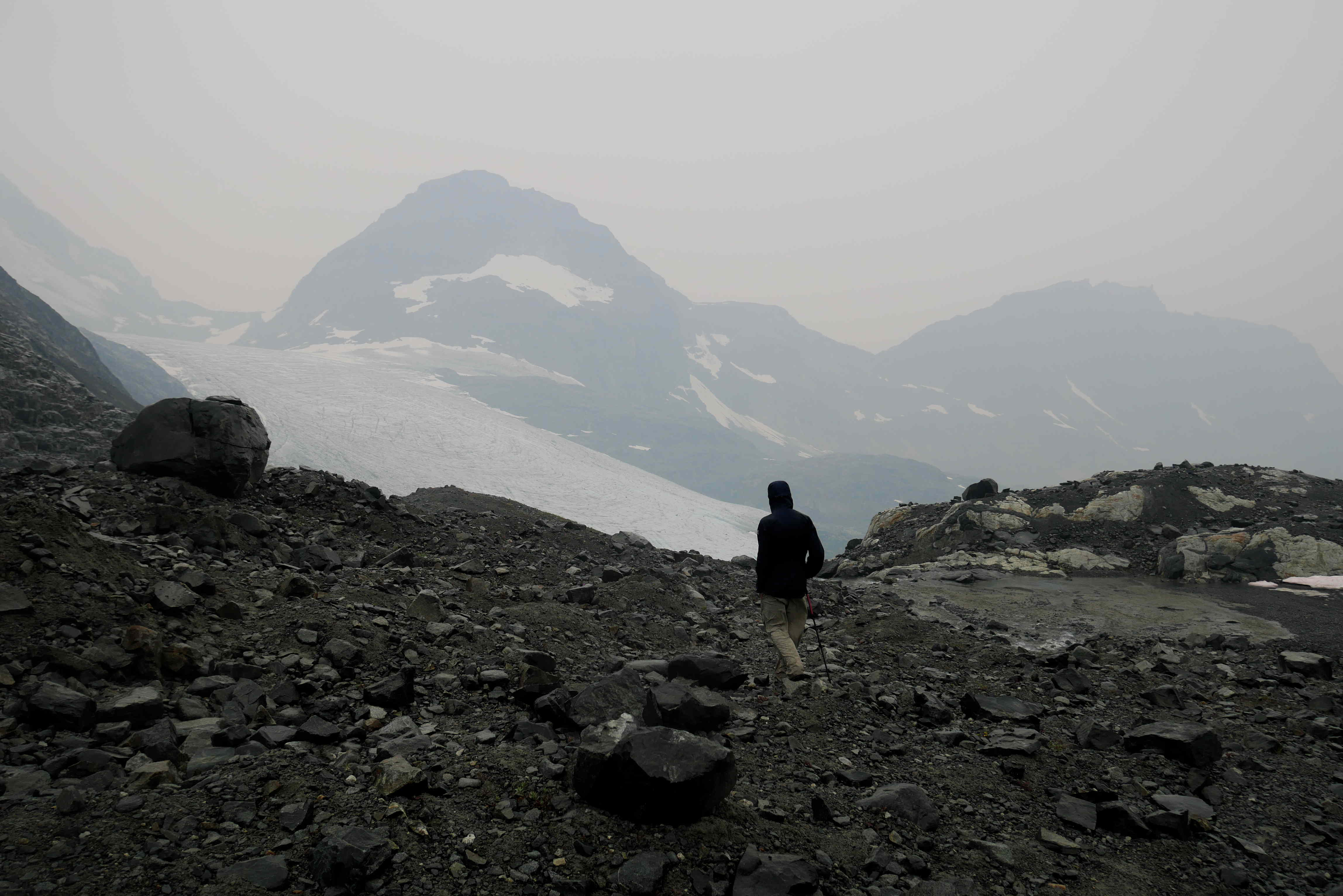
Mount Burwell is right on the edge of the map, at the limit of the “legal backcountry access”. (The area beyond is protected as it supplies the drinking water for Vancouver and the surrounding area.) This was probably the hardest day’s walking we have done so far at about 30km in total with lots of elevation gain. On Saturday, we got up at 5am and started walking in the dark – the first part is flat and we wanted to give ourselves as much daylight as possible. Just to make it even harder, we decided to park an extra 2km from the trail head, as the car park gate is only open from 7am to 7pm. It was quite fun walking in the dark with our head torches and the flat part went pretty quickly.

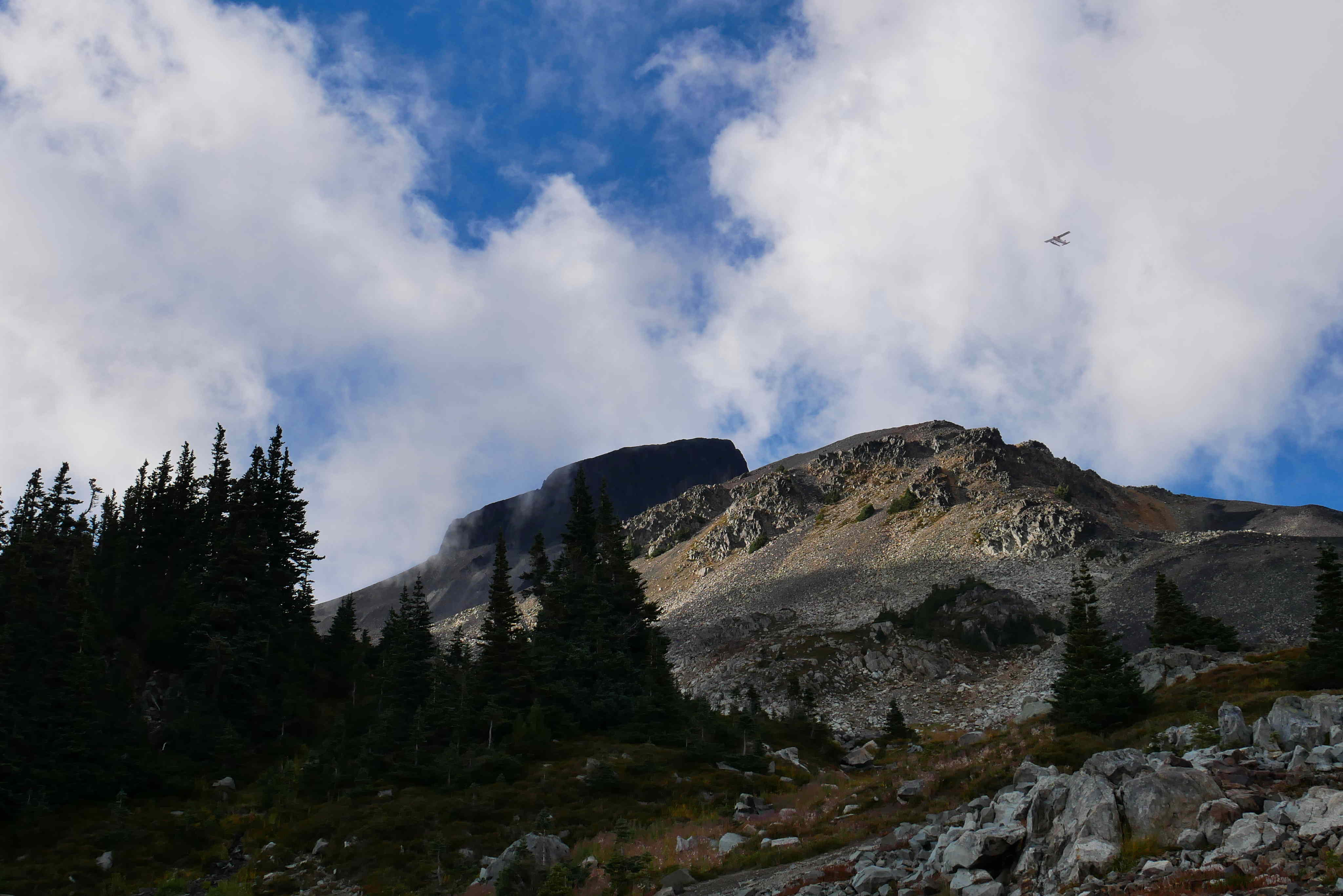
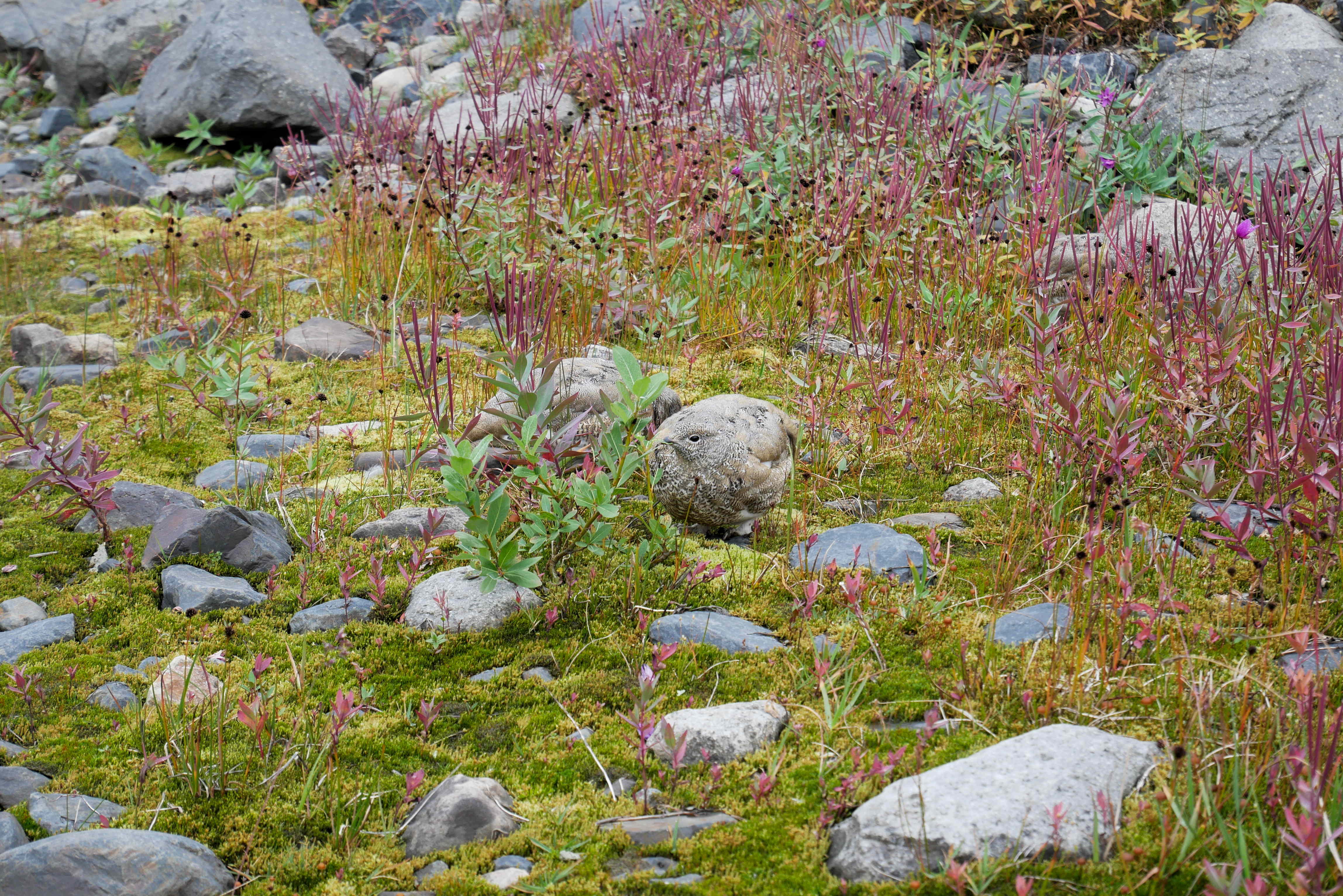
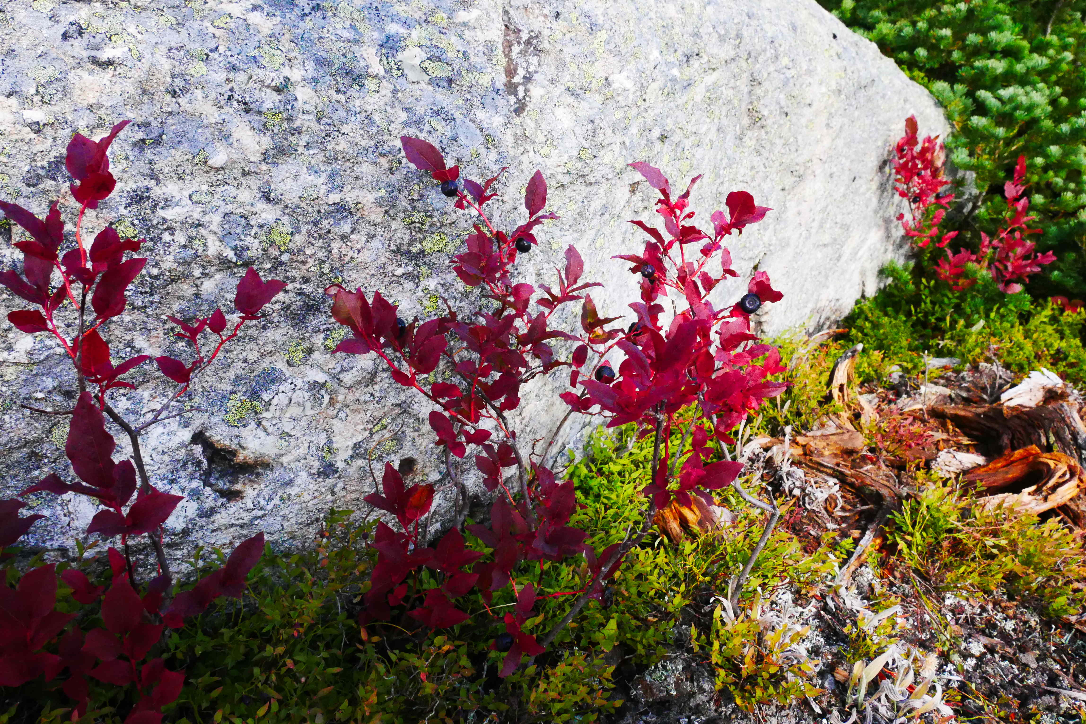
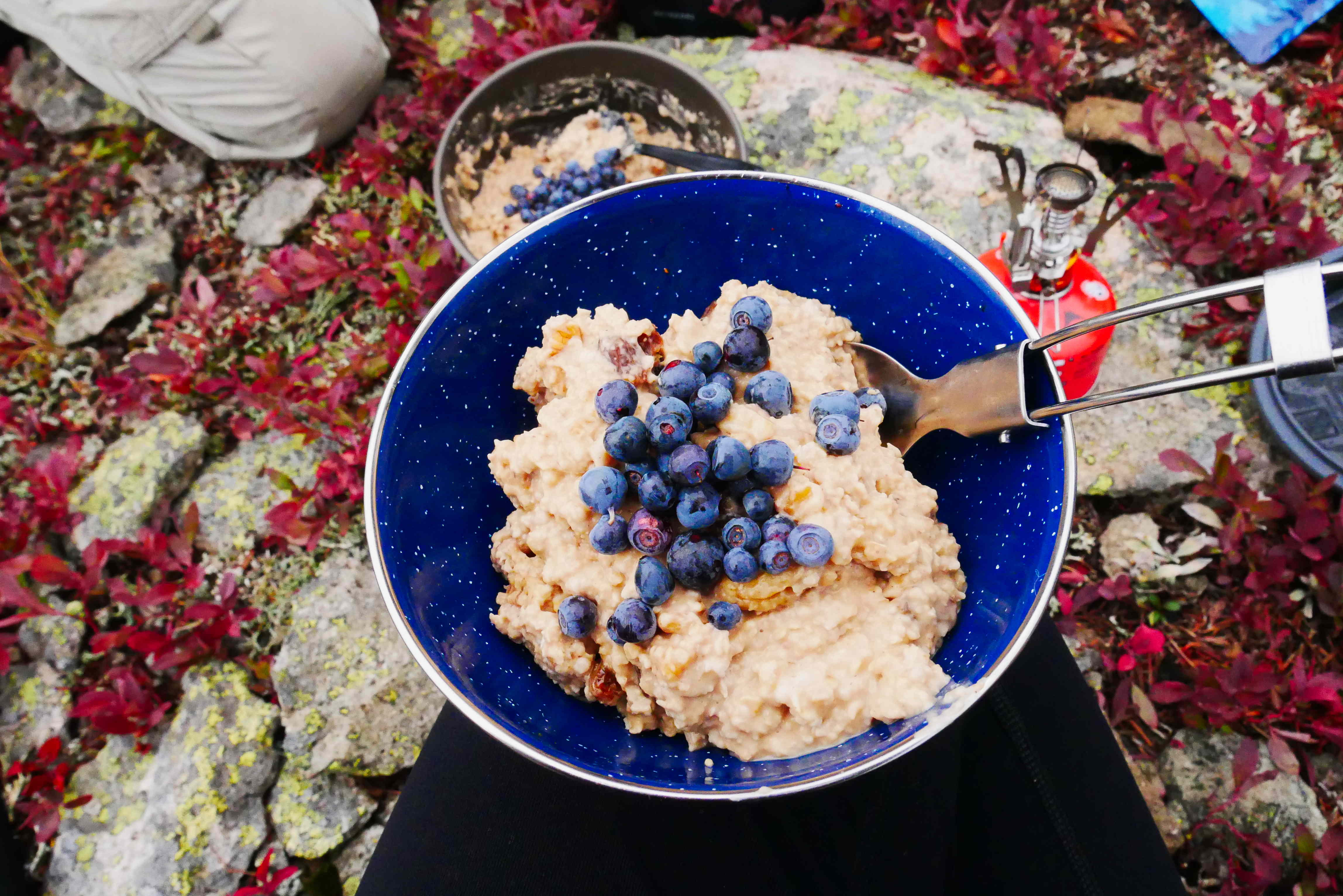
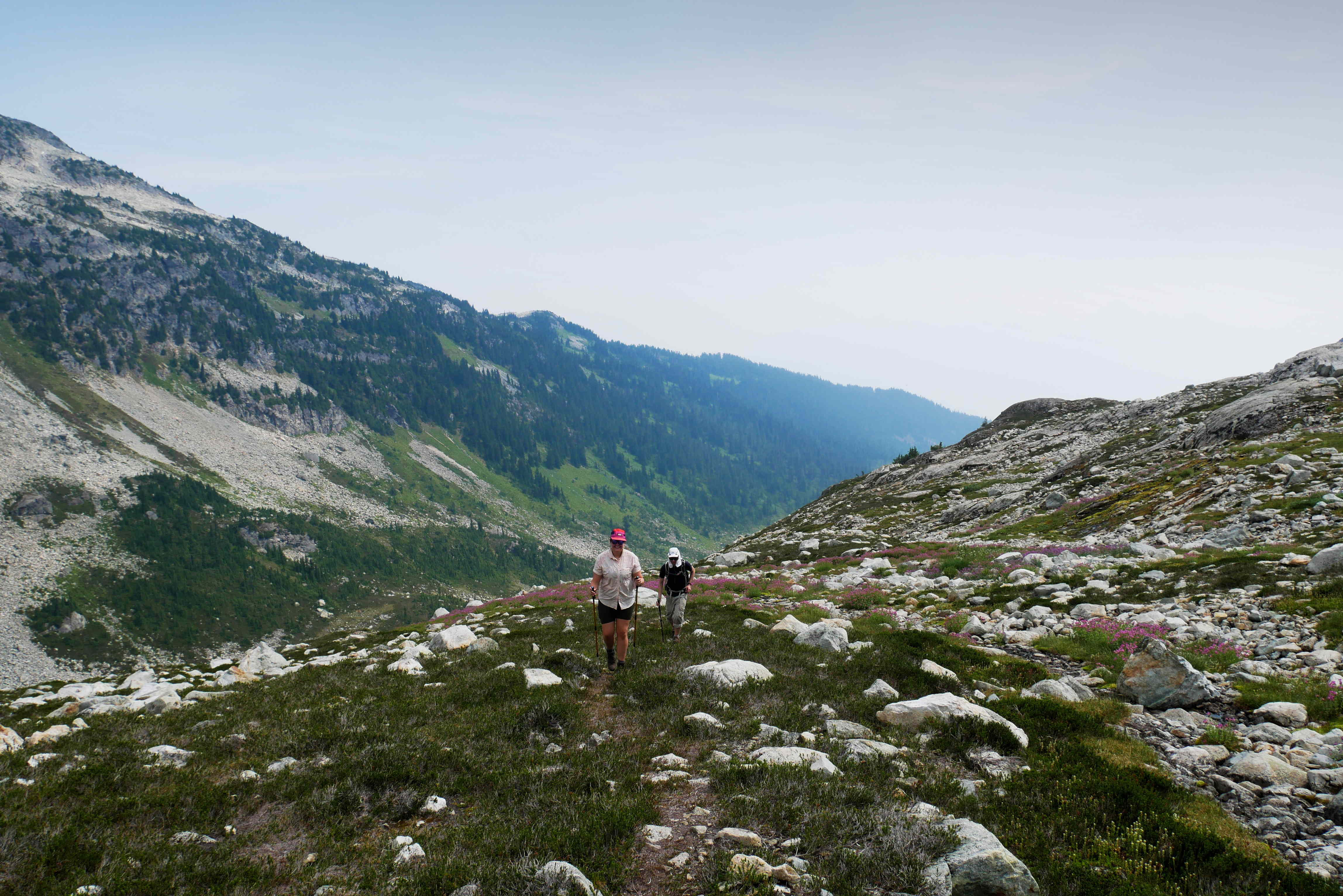
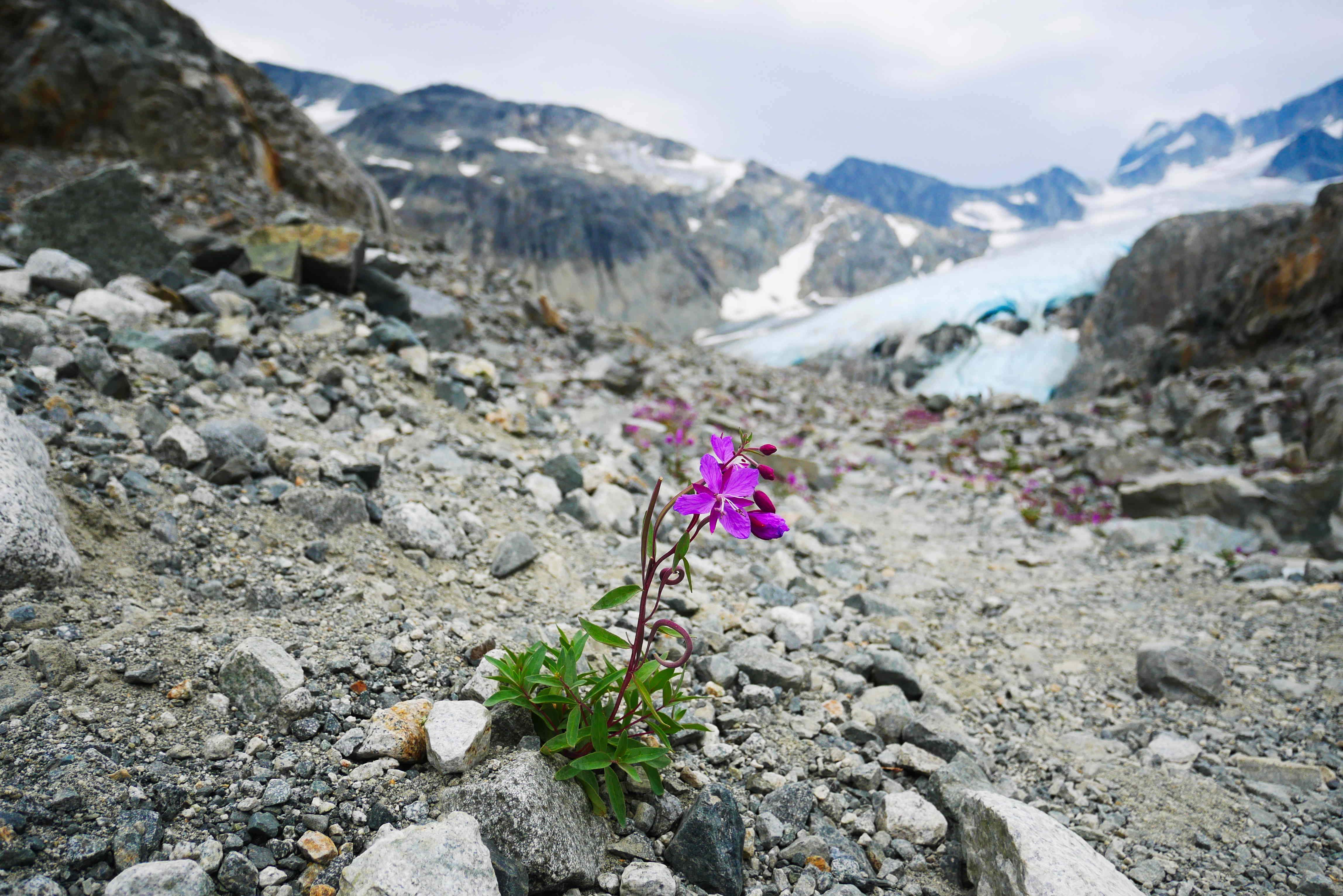
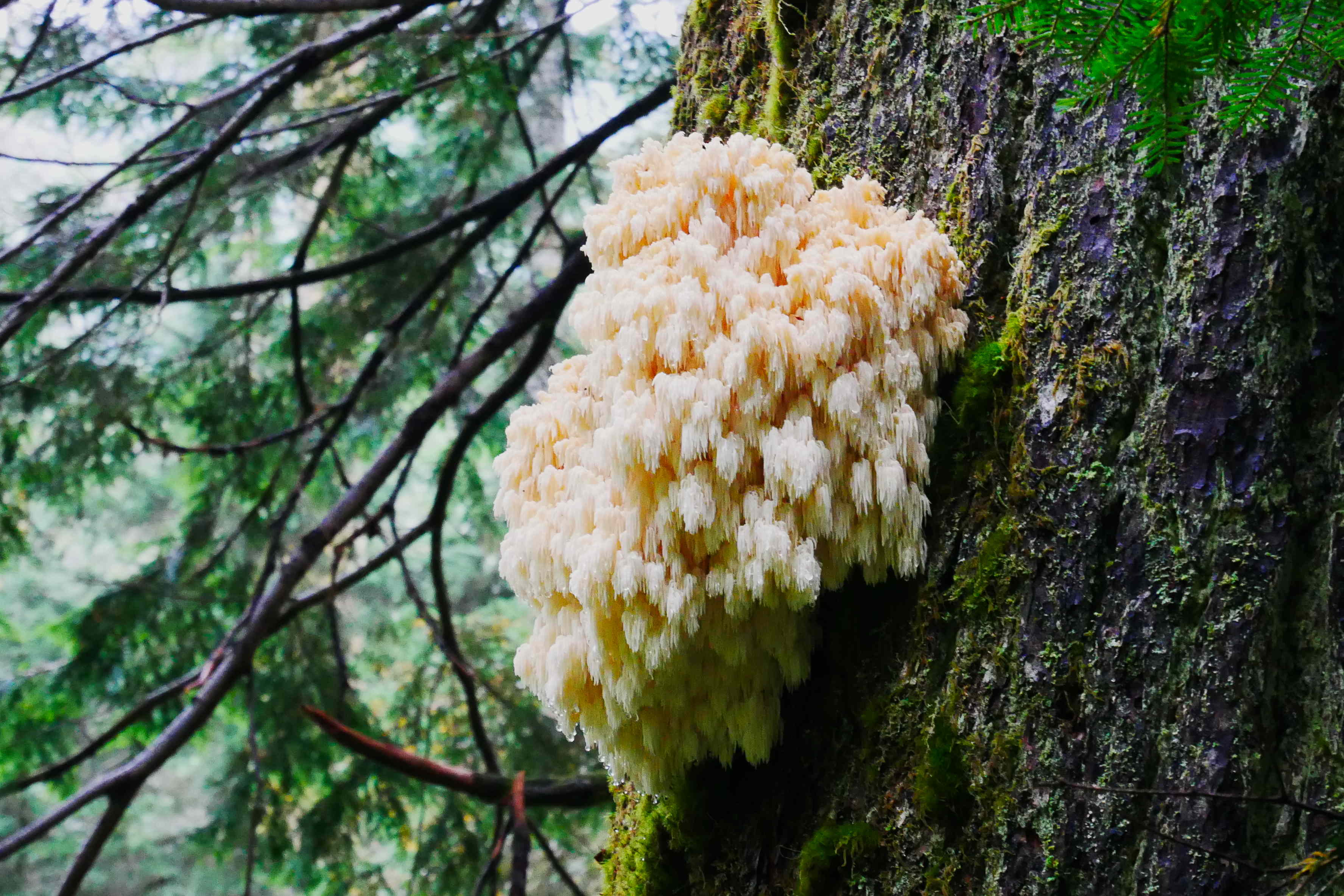
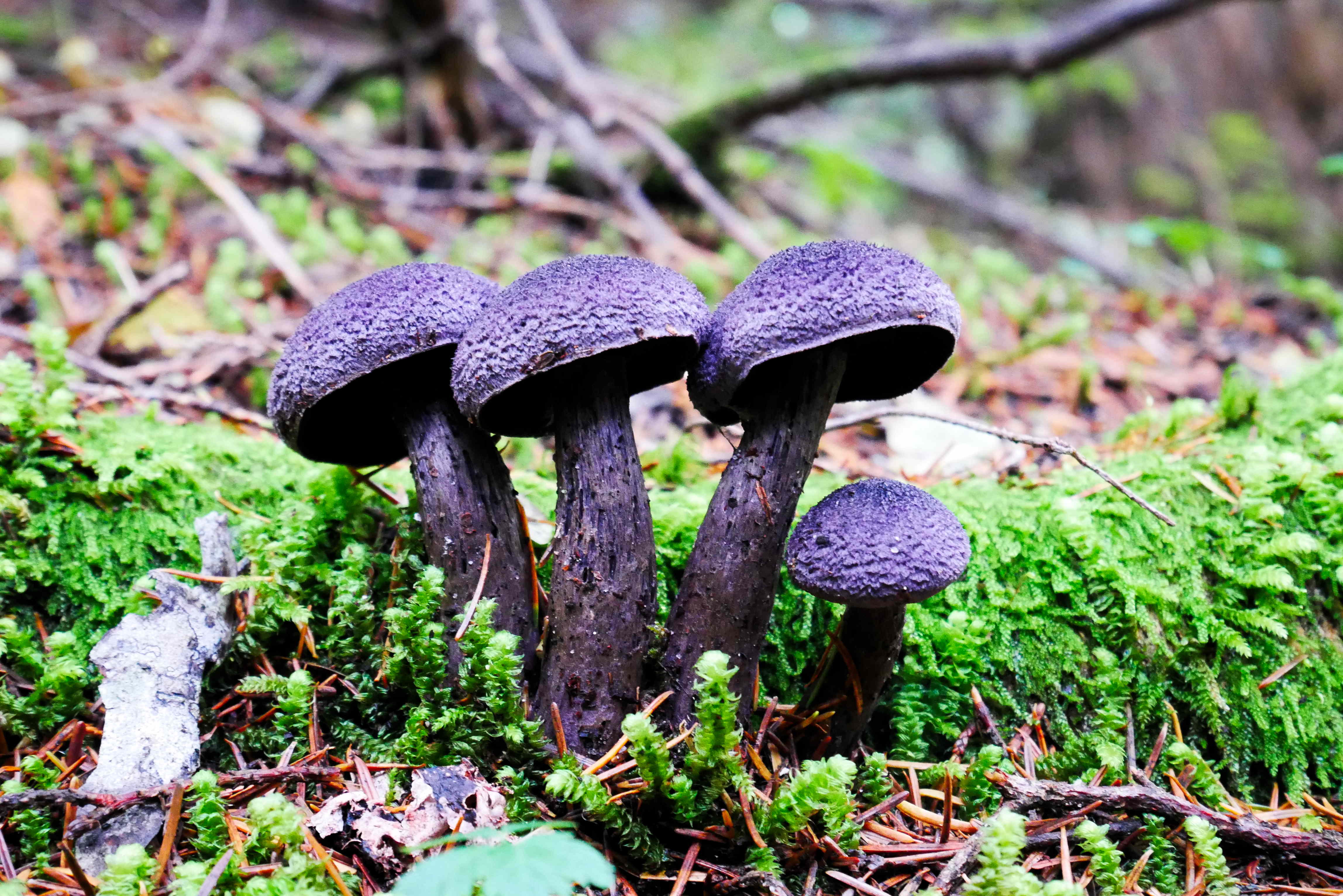
The sun was well up when we stopped for second breakfast before tackling the steep climb up to Mount Burwell (via Coliseum Mountain). It has been raining lots recently and the trail was very muddy and slippery. We were pretty slow going up and had plenty of opportunities to spot some interesting mushrooms.

The weather wasn’t forecast to be great that day either, but as the days are getting shorter and the chances of snow are increasing we decided it was now or never!

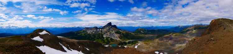
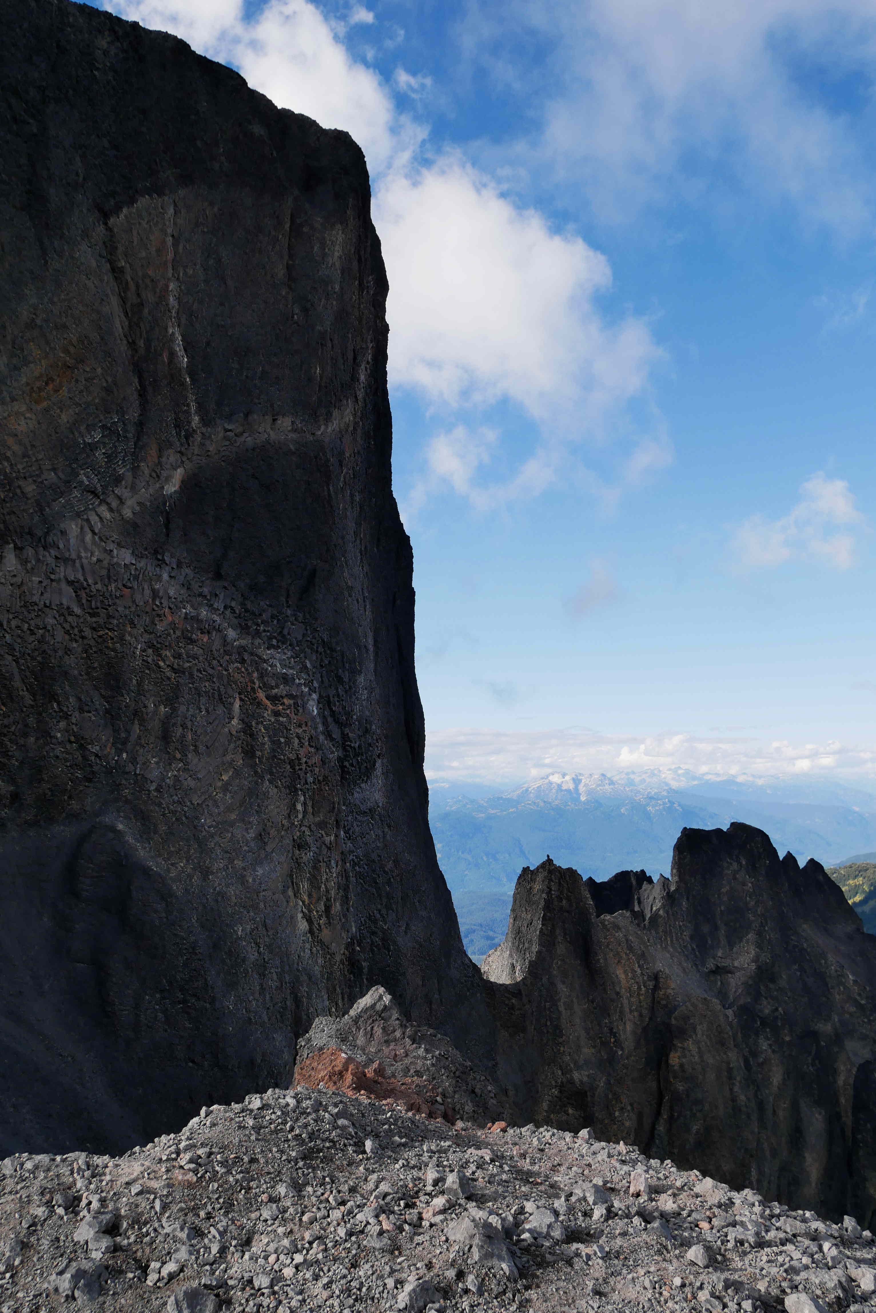
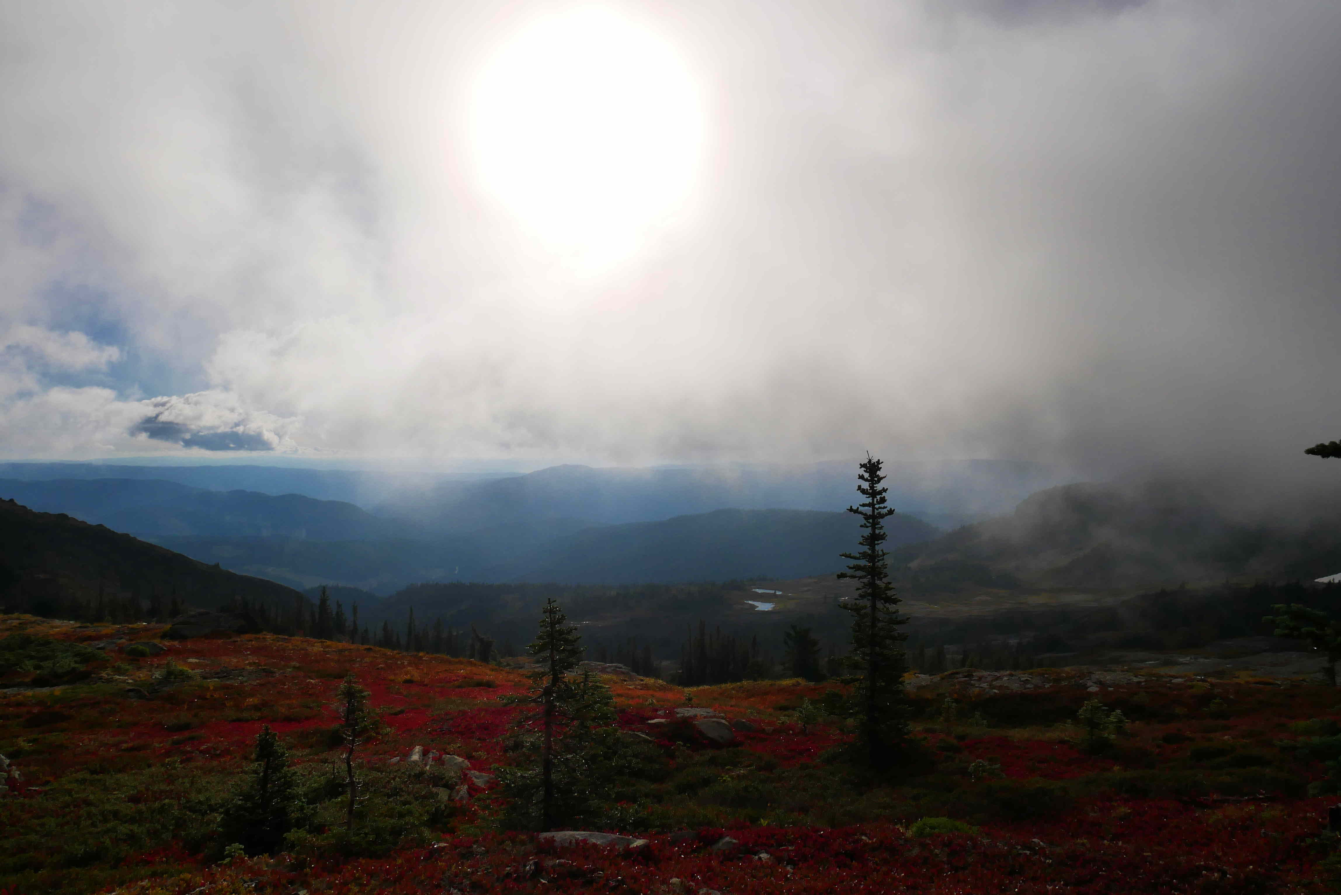
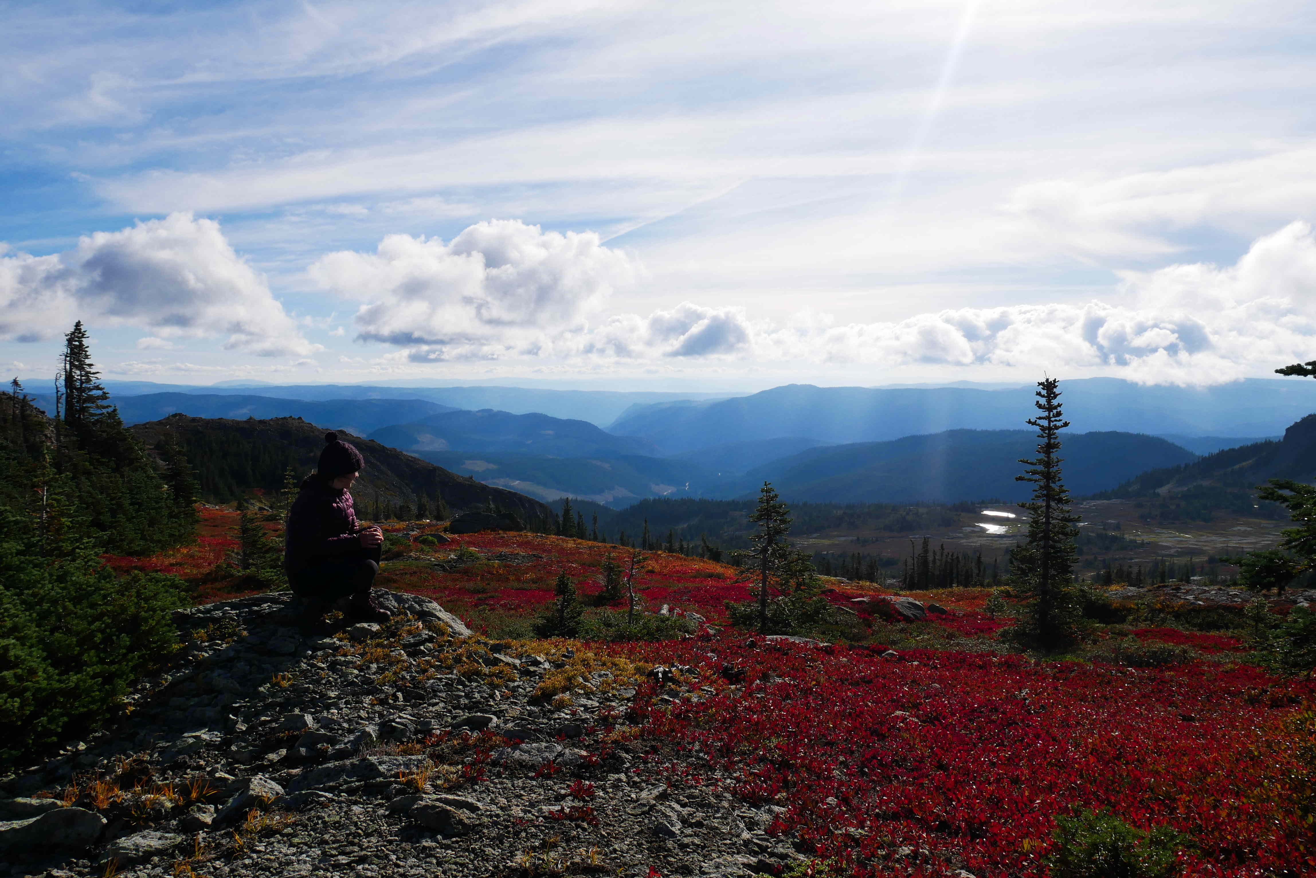
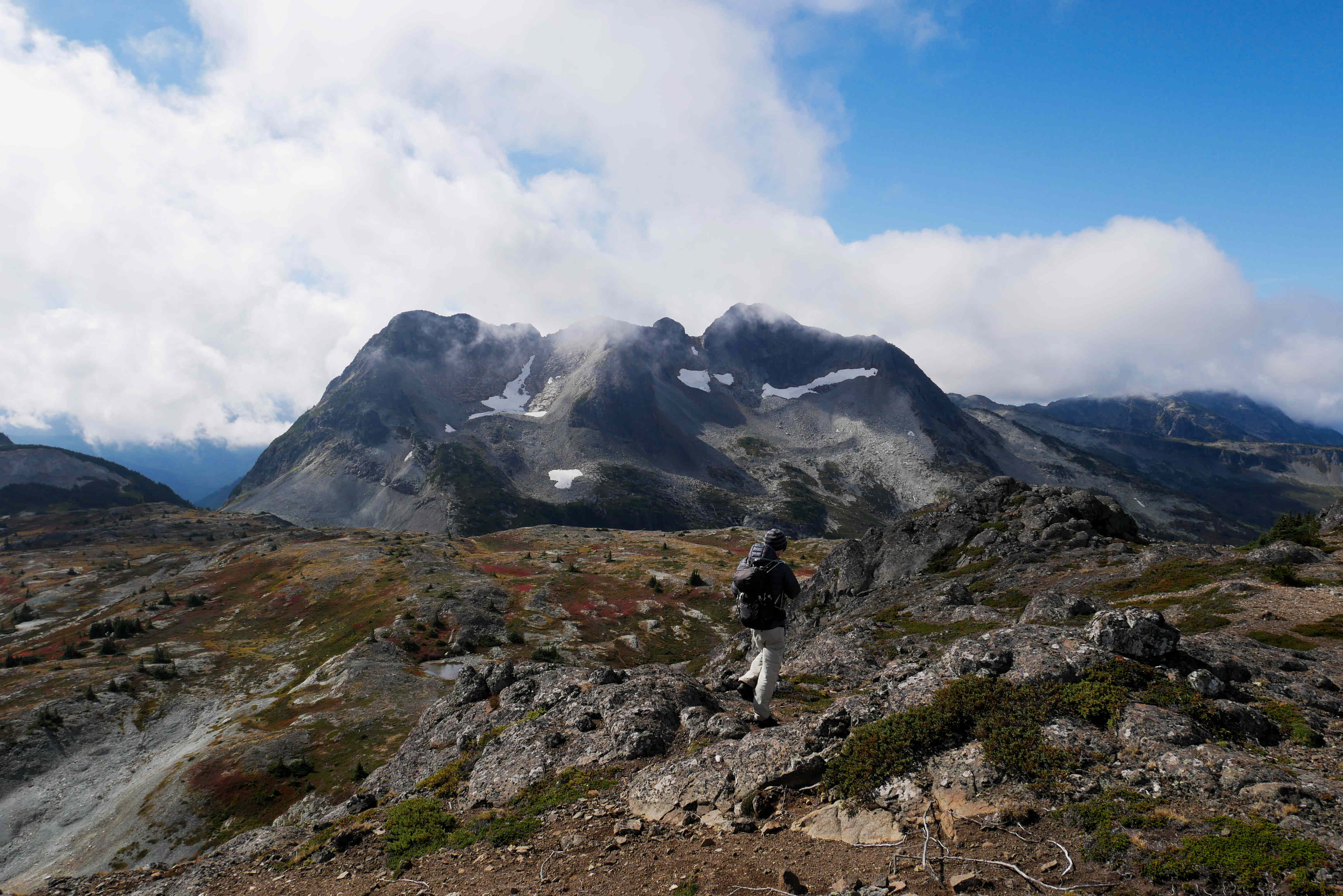
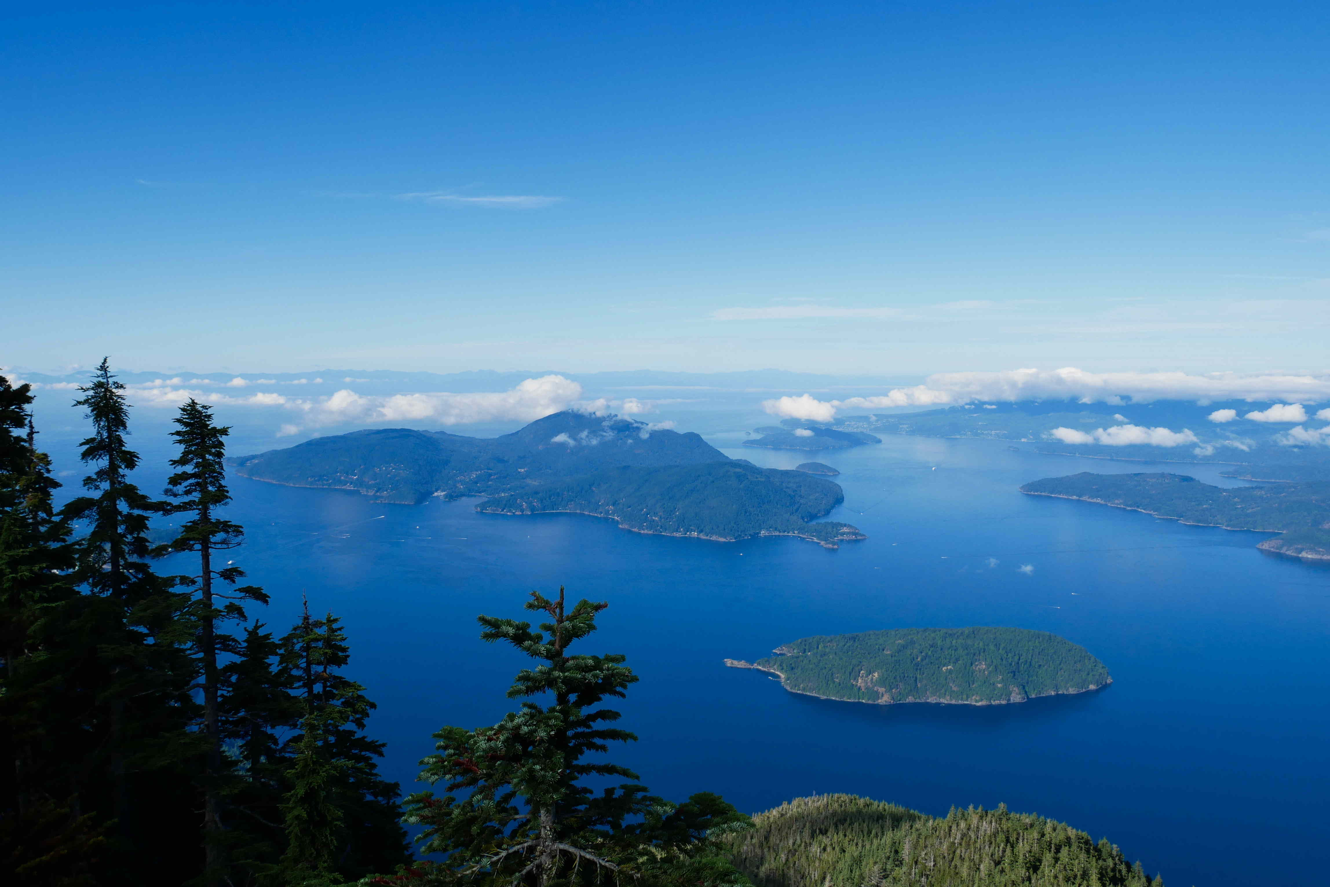
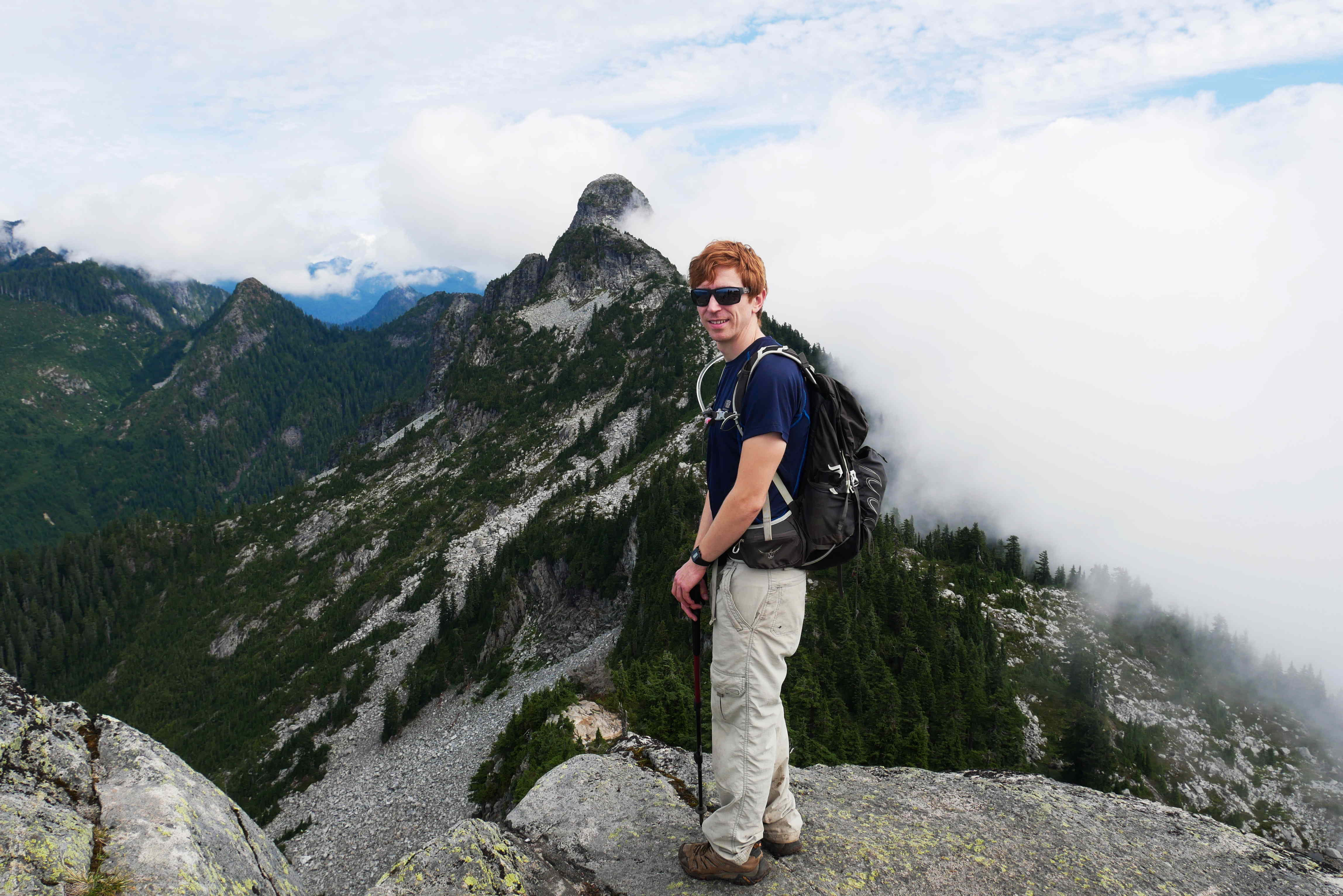
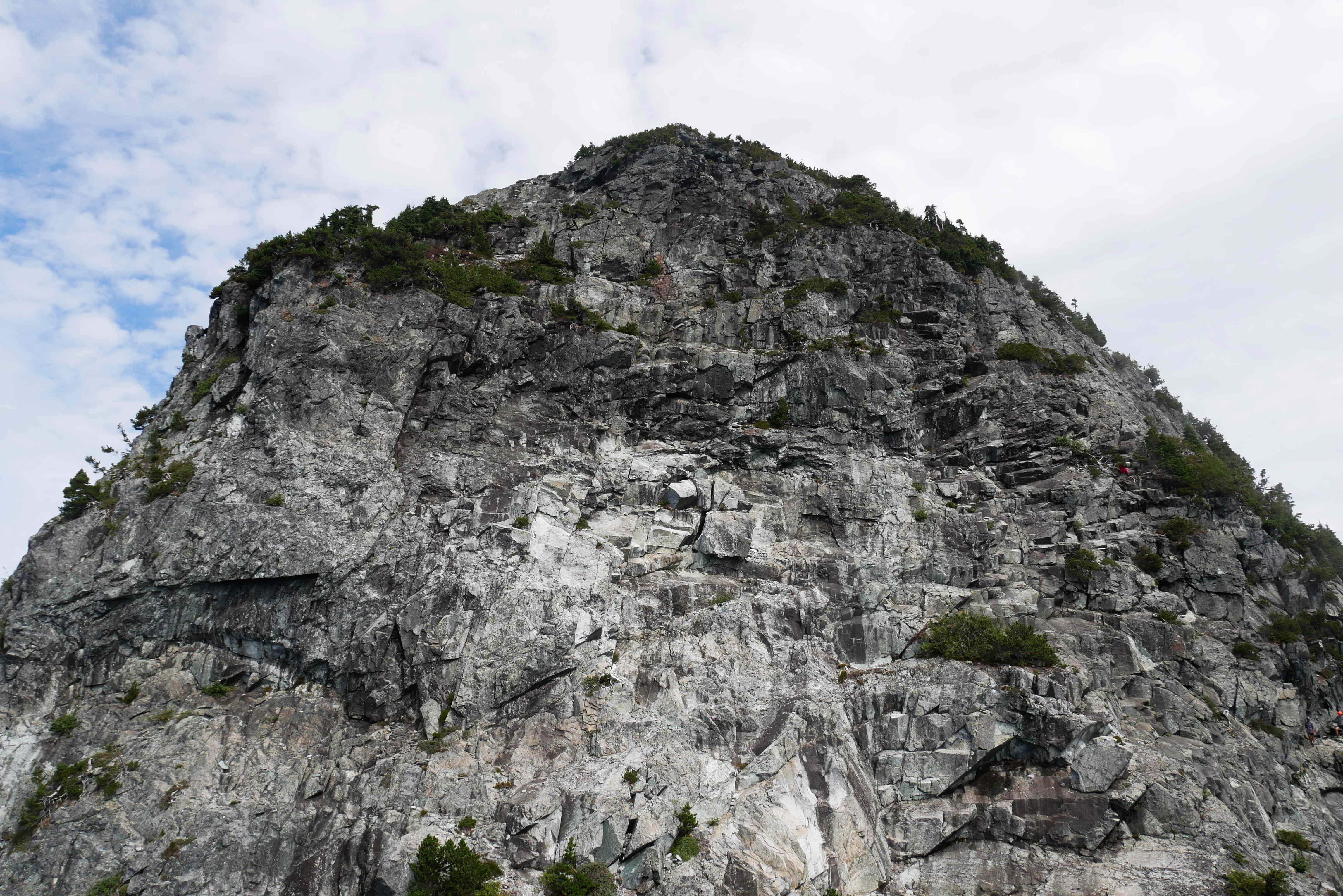
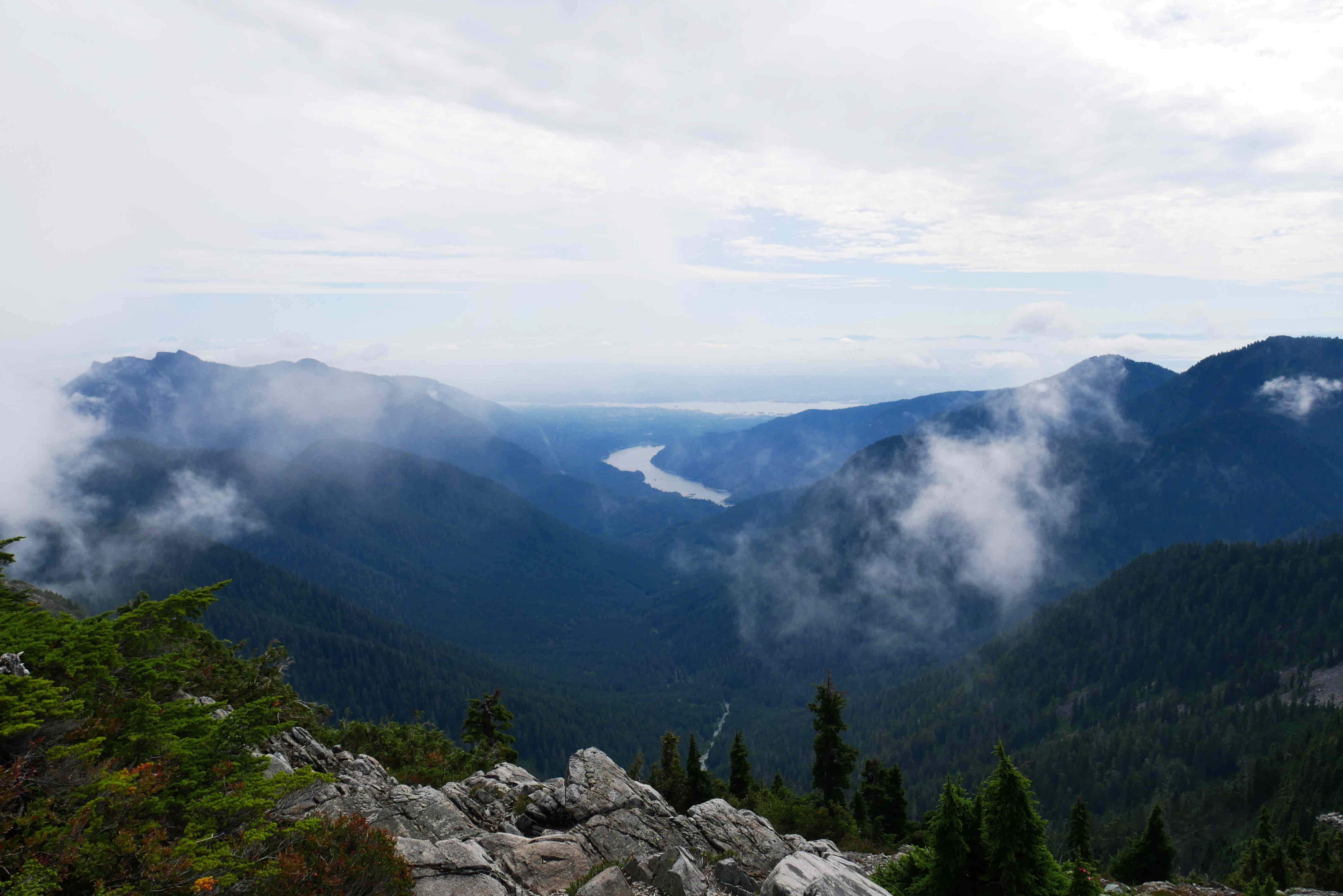
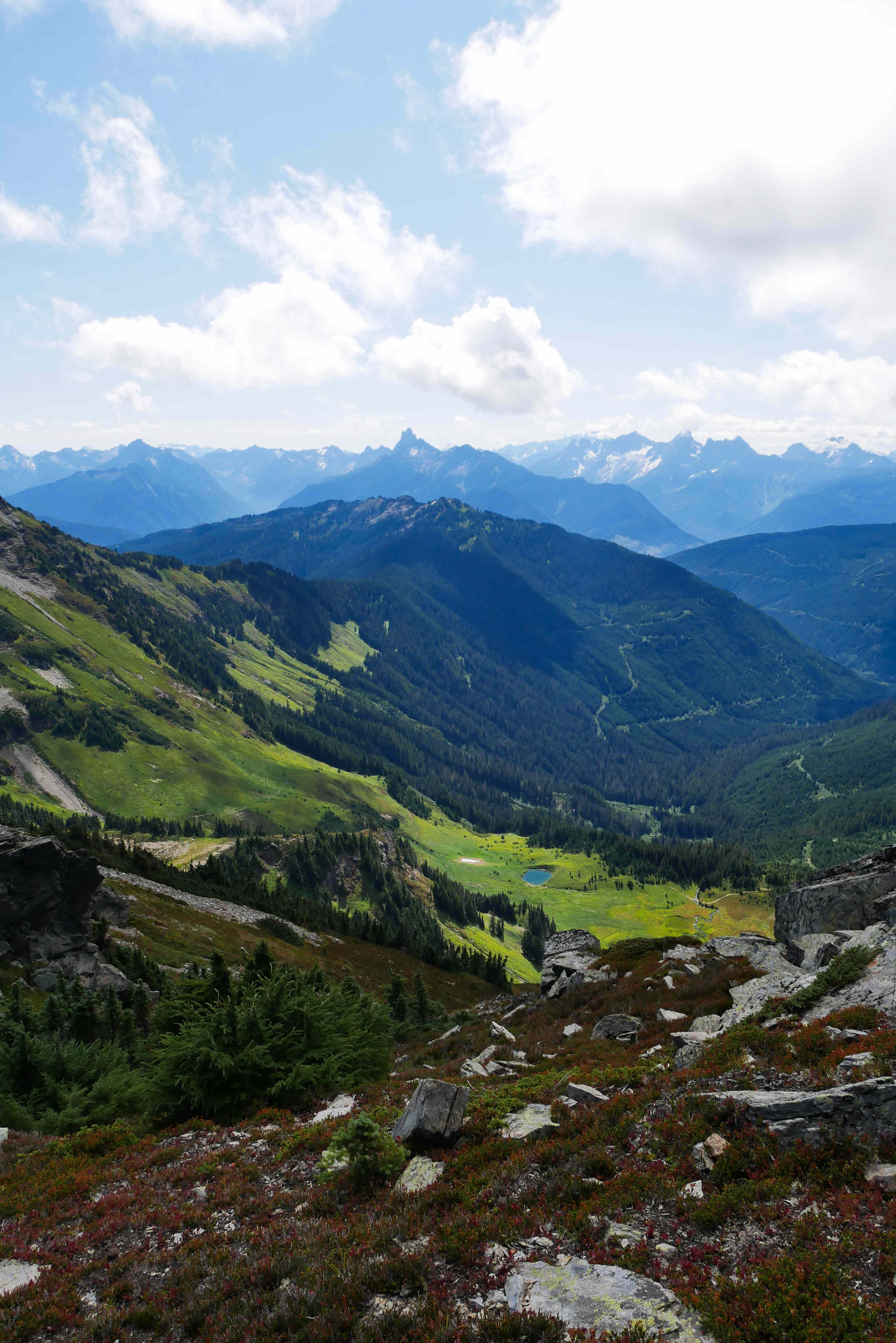
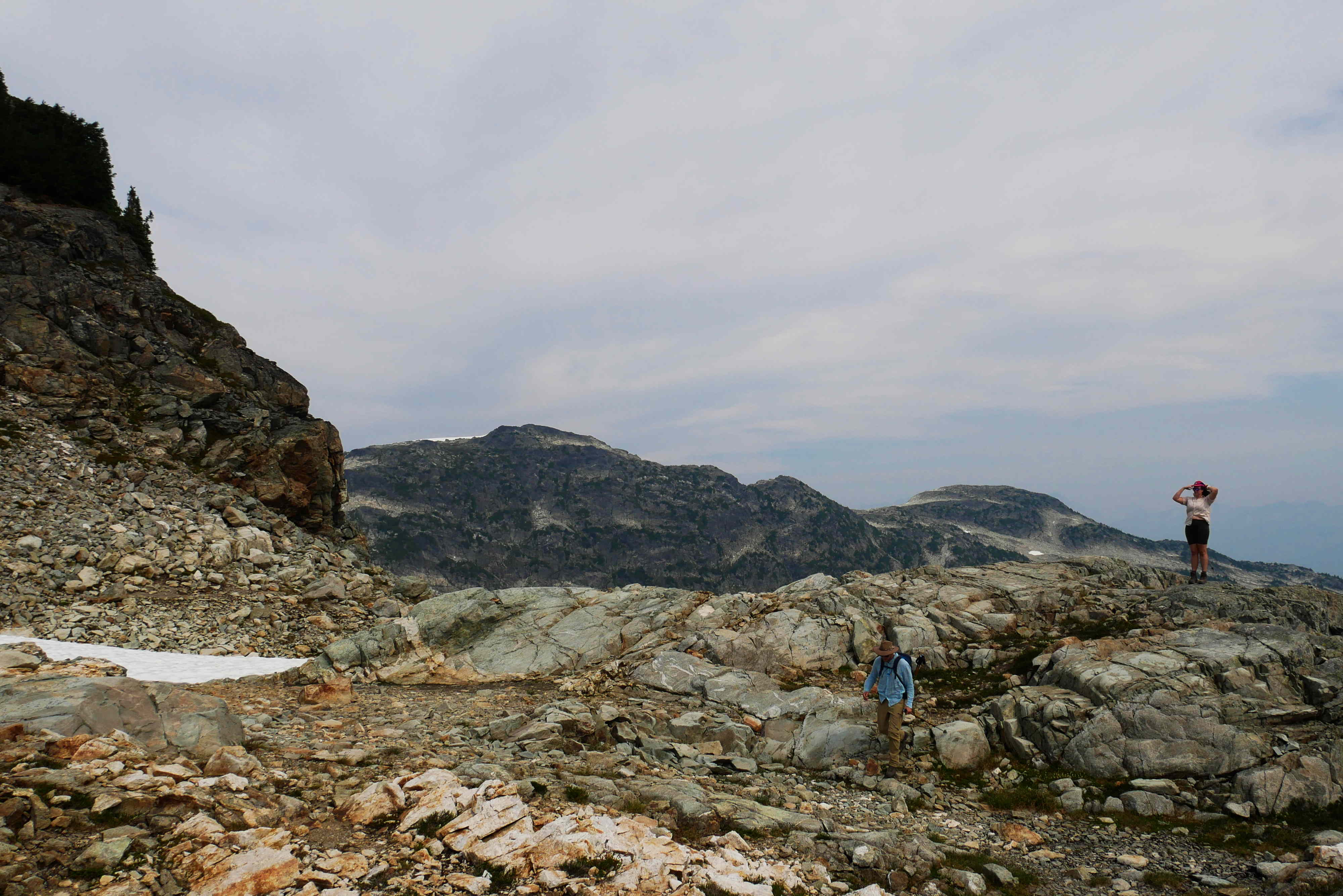
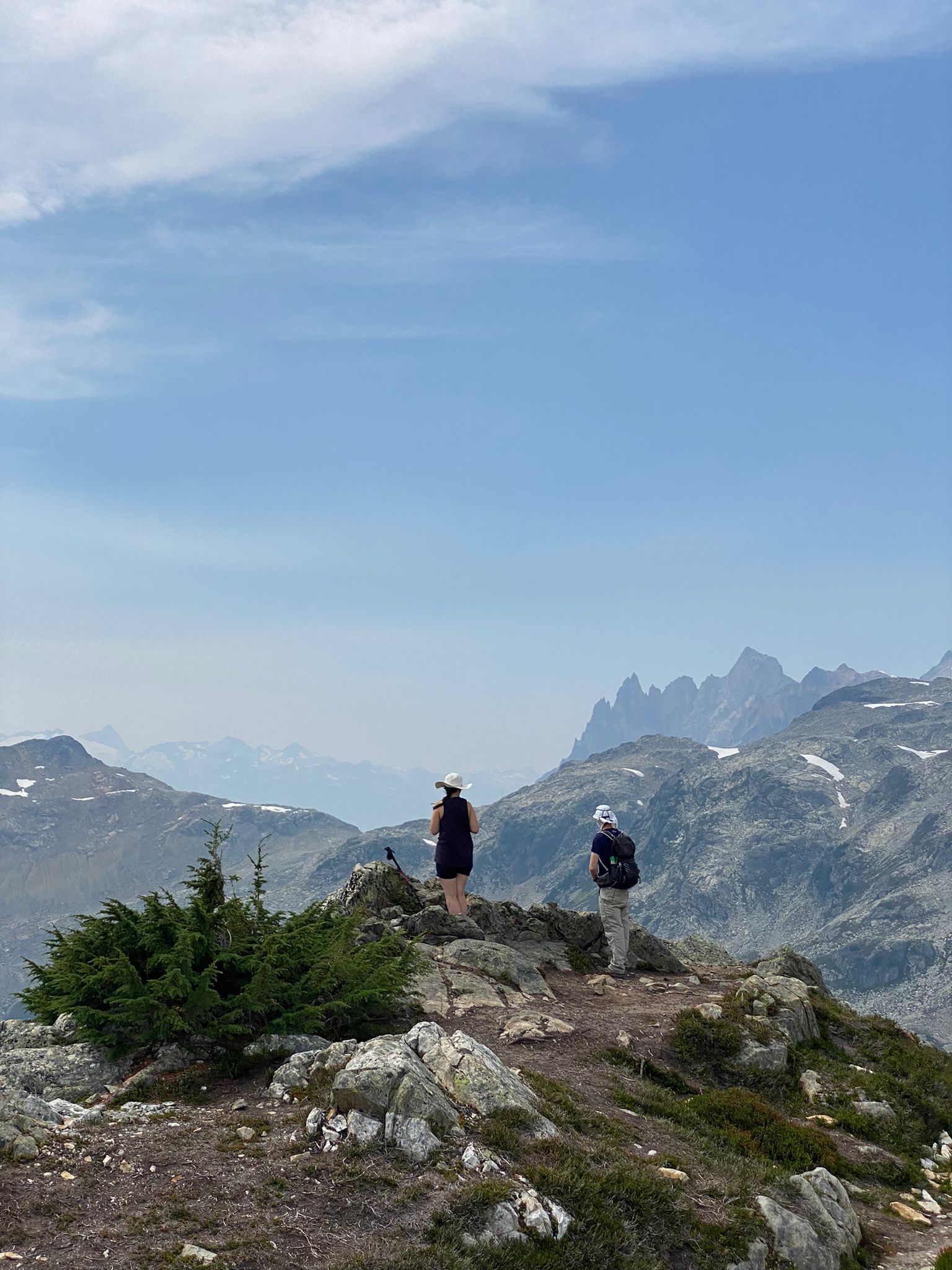
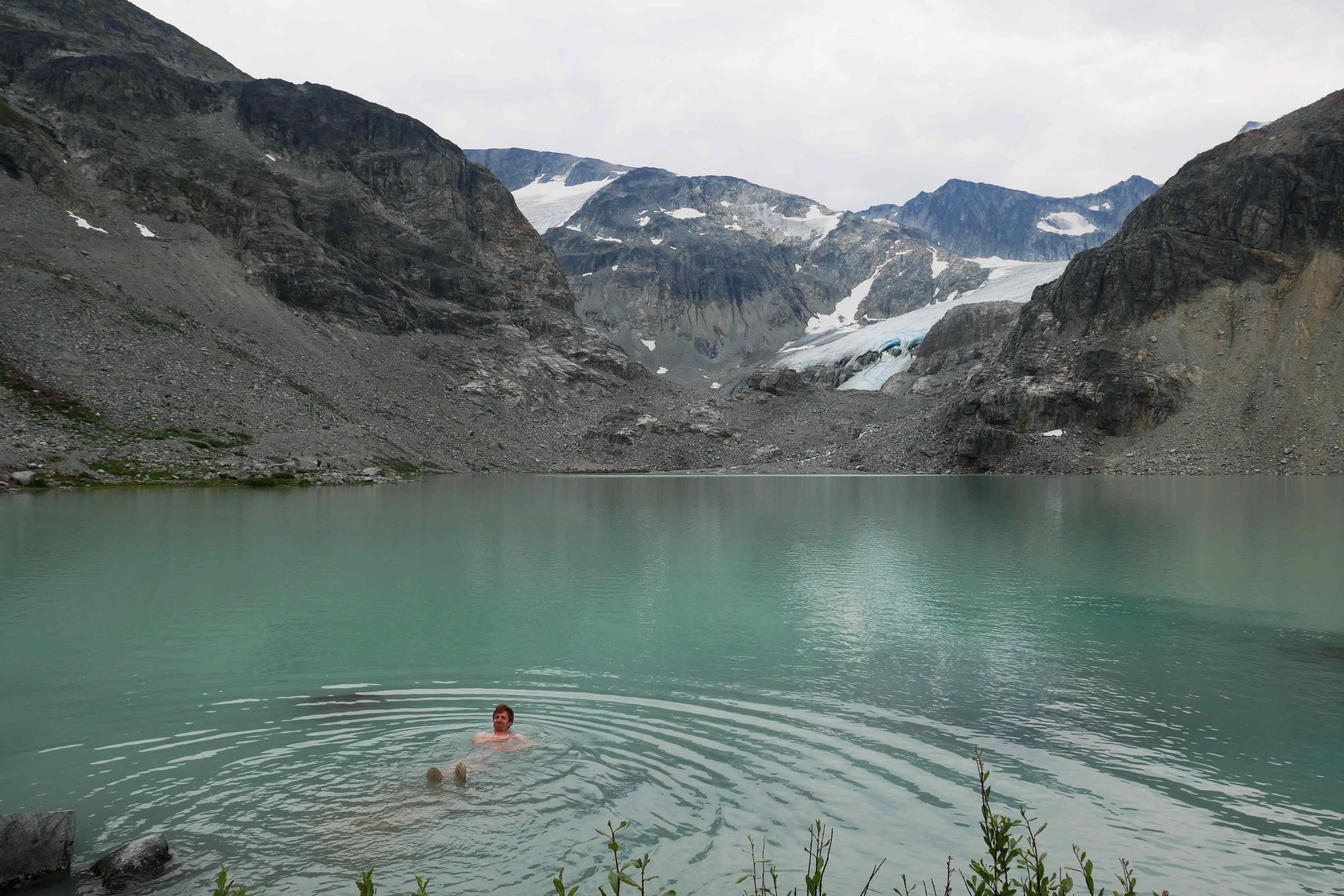
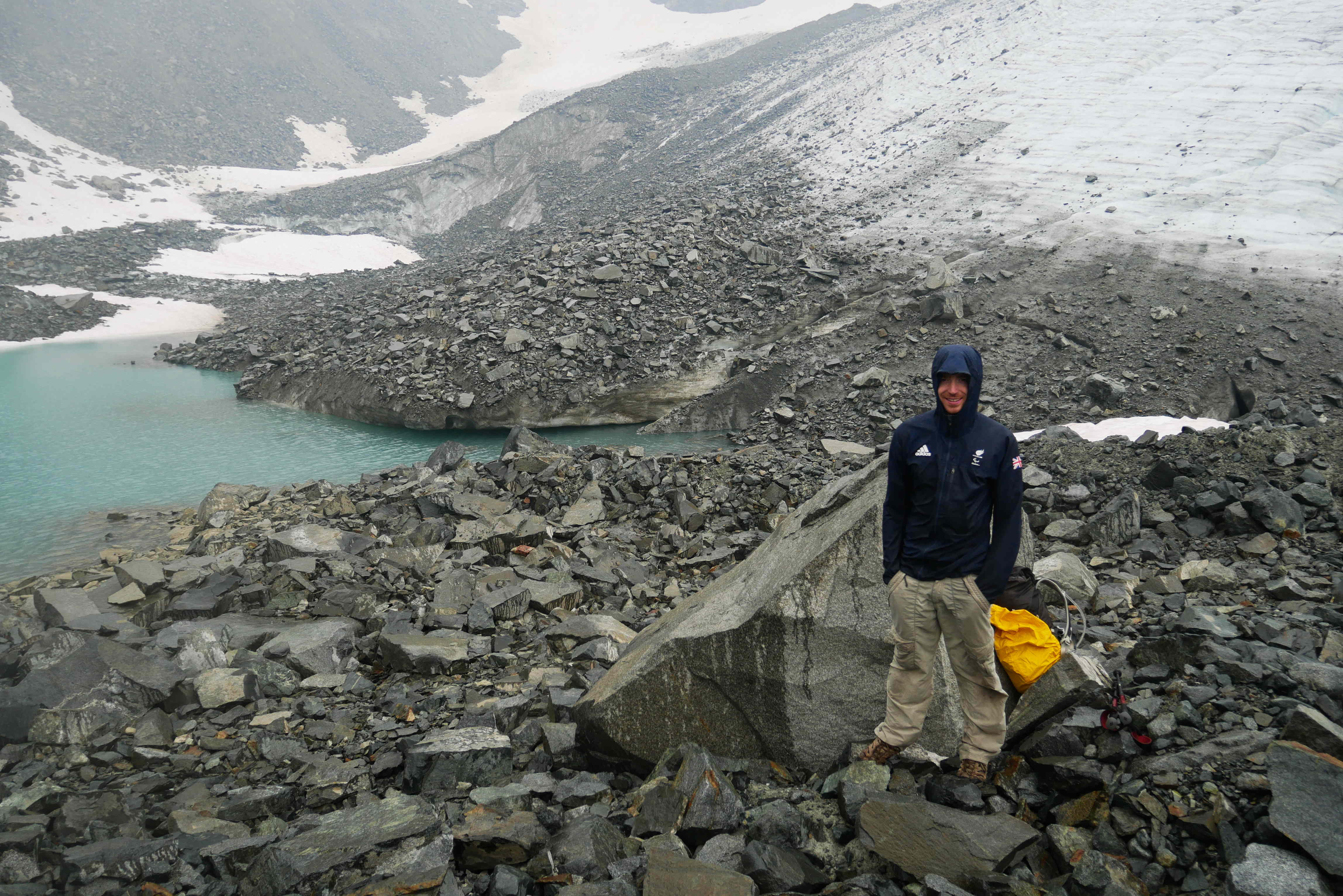
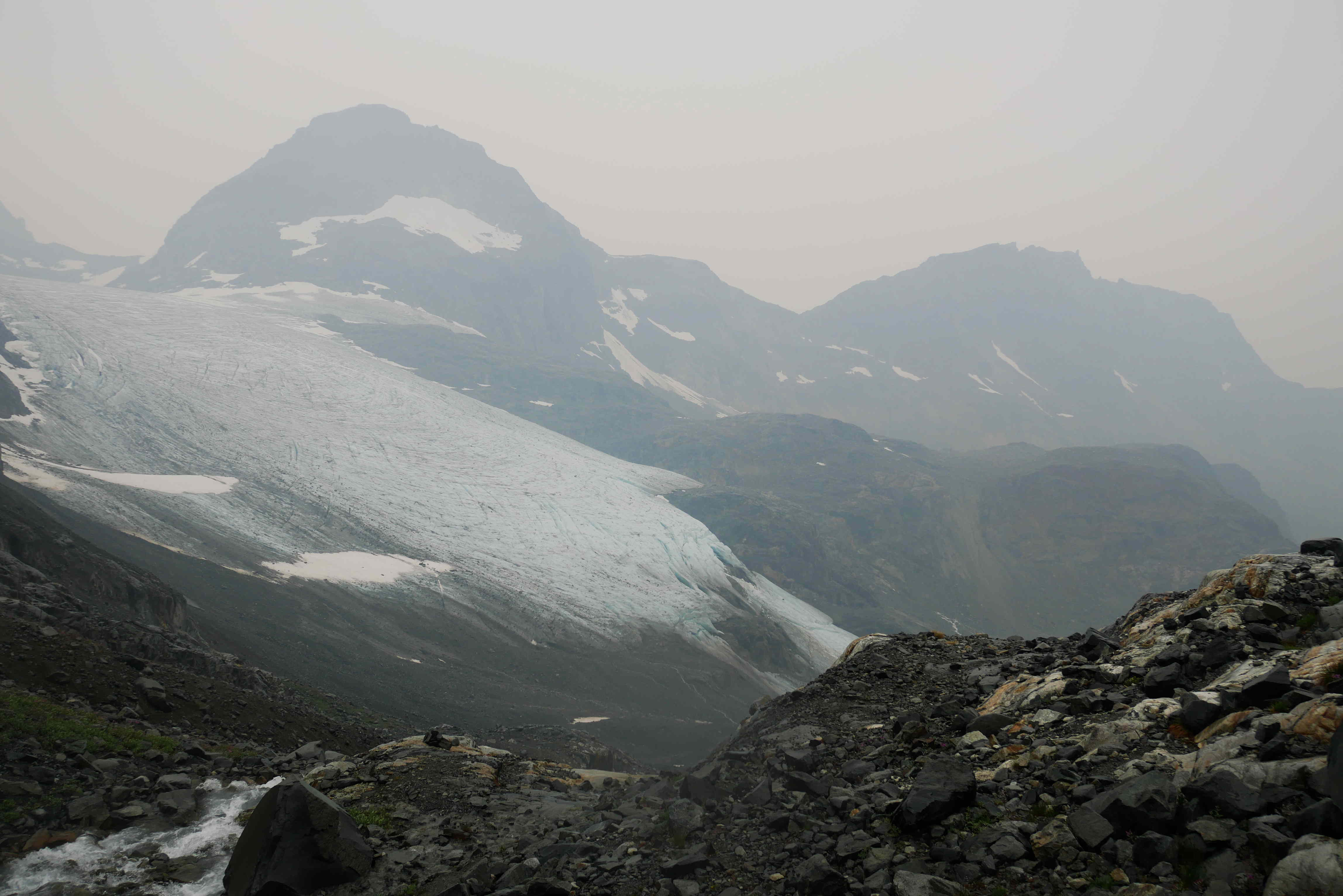
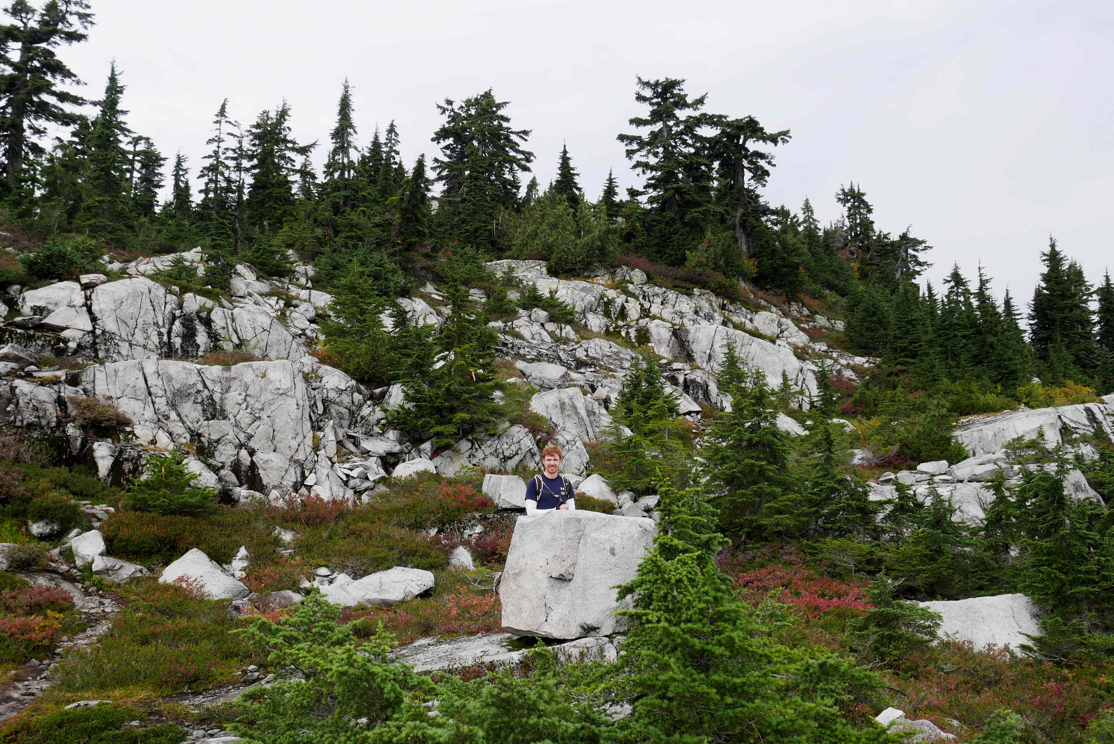
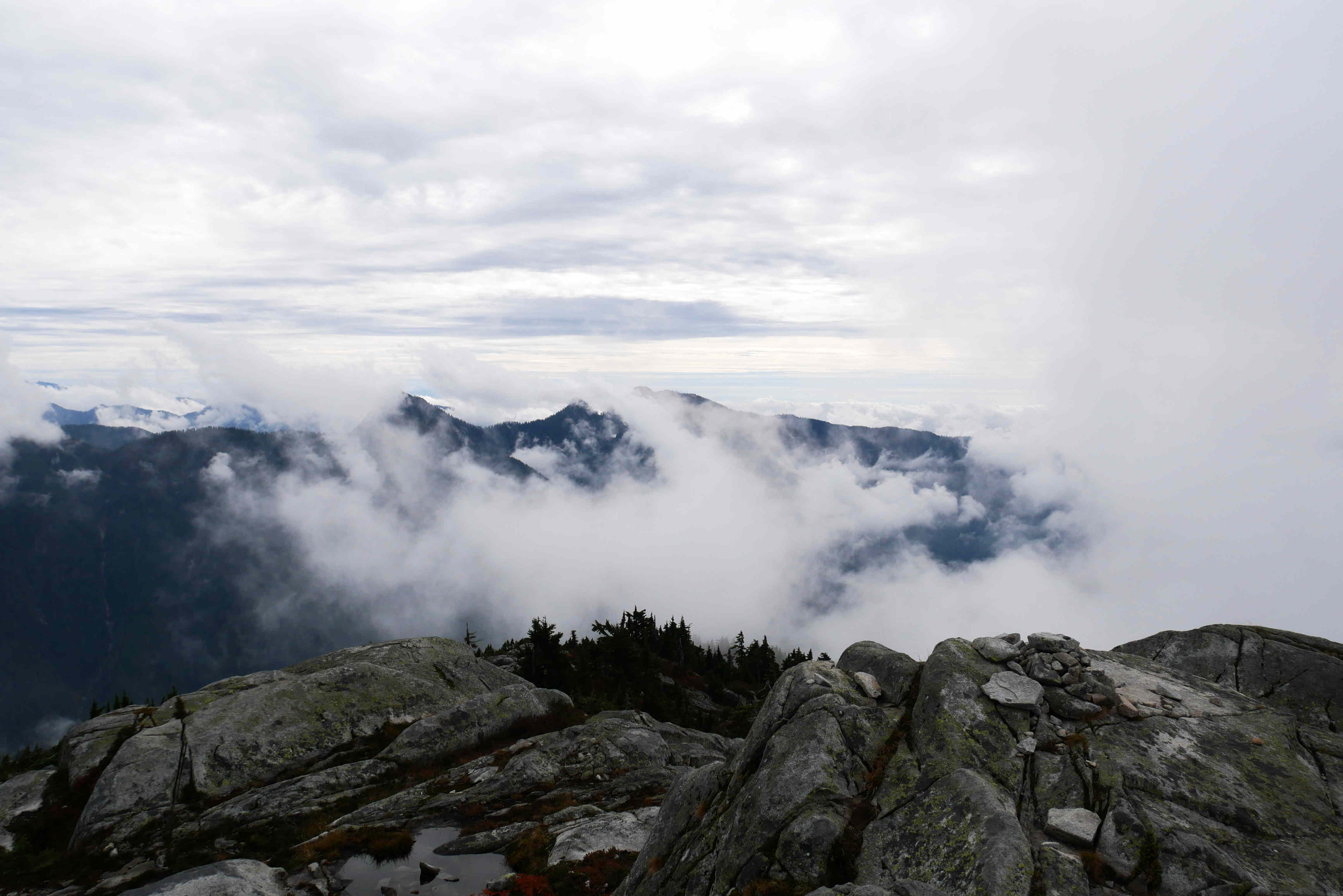
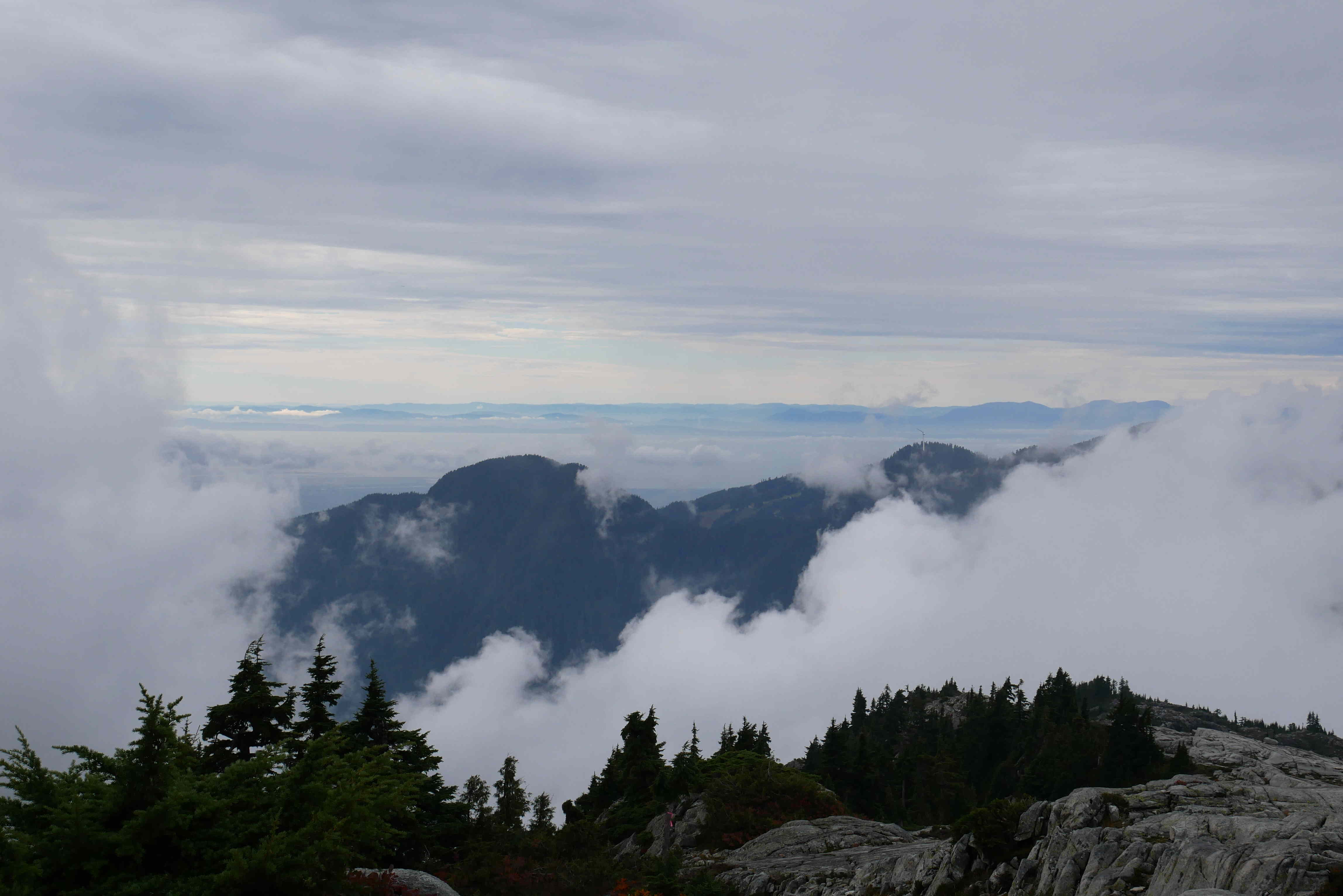
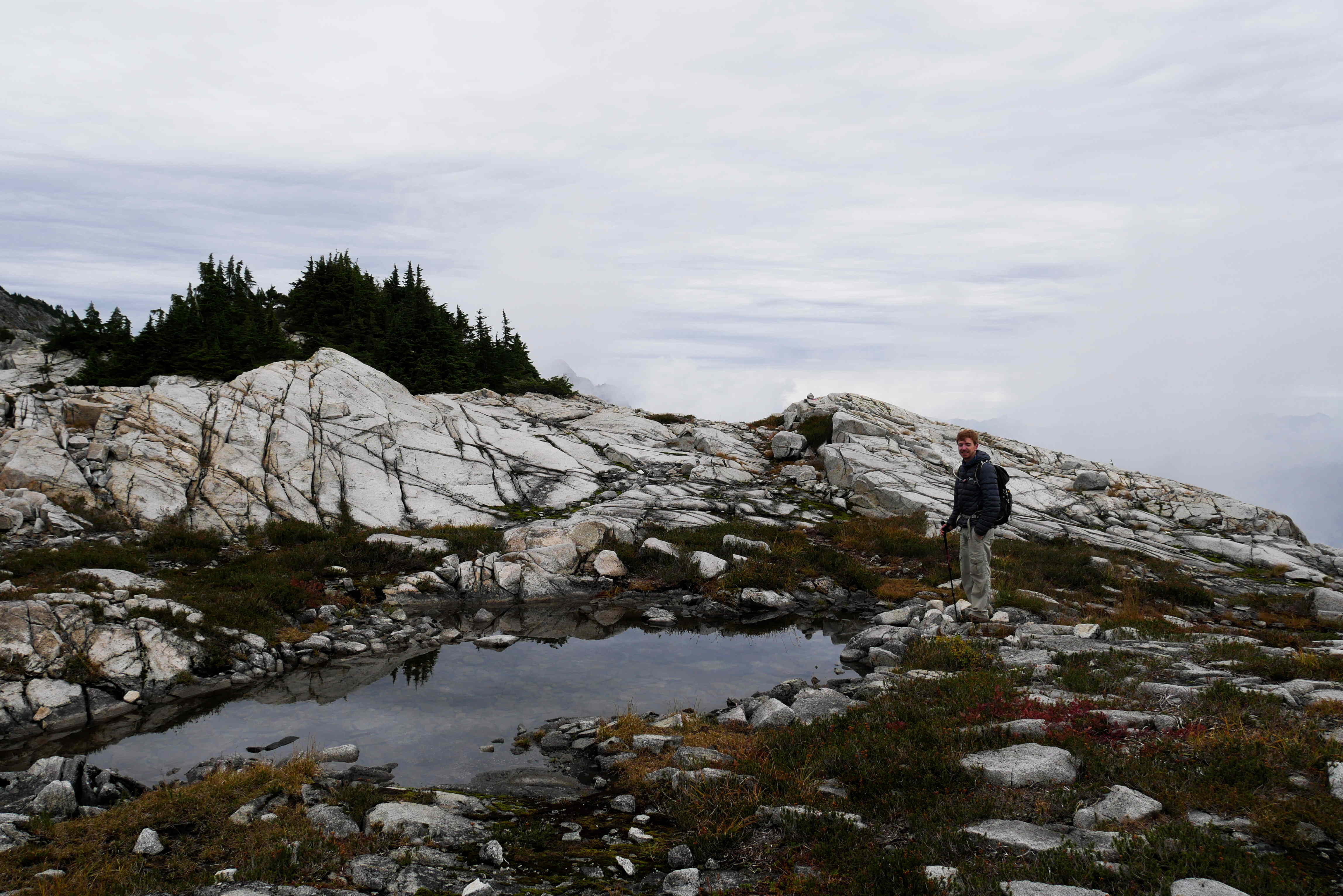
Eventually, after a very long slog, we emerged out onto the enormous granite slabs of Coliseum Mountain. There were lots of clouds in the sky, but we could make out some views in between them.

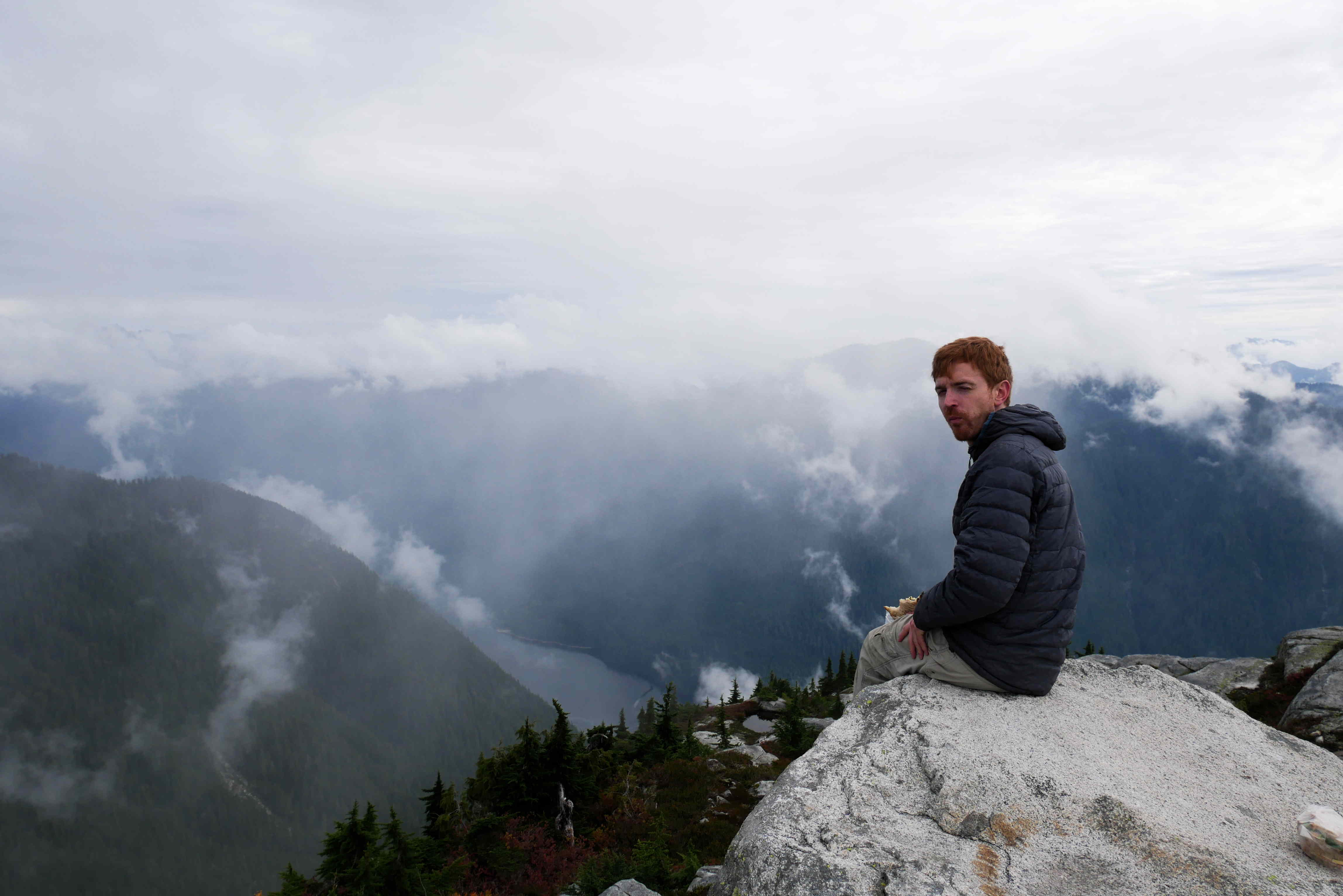
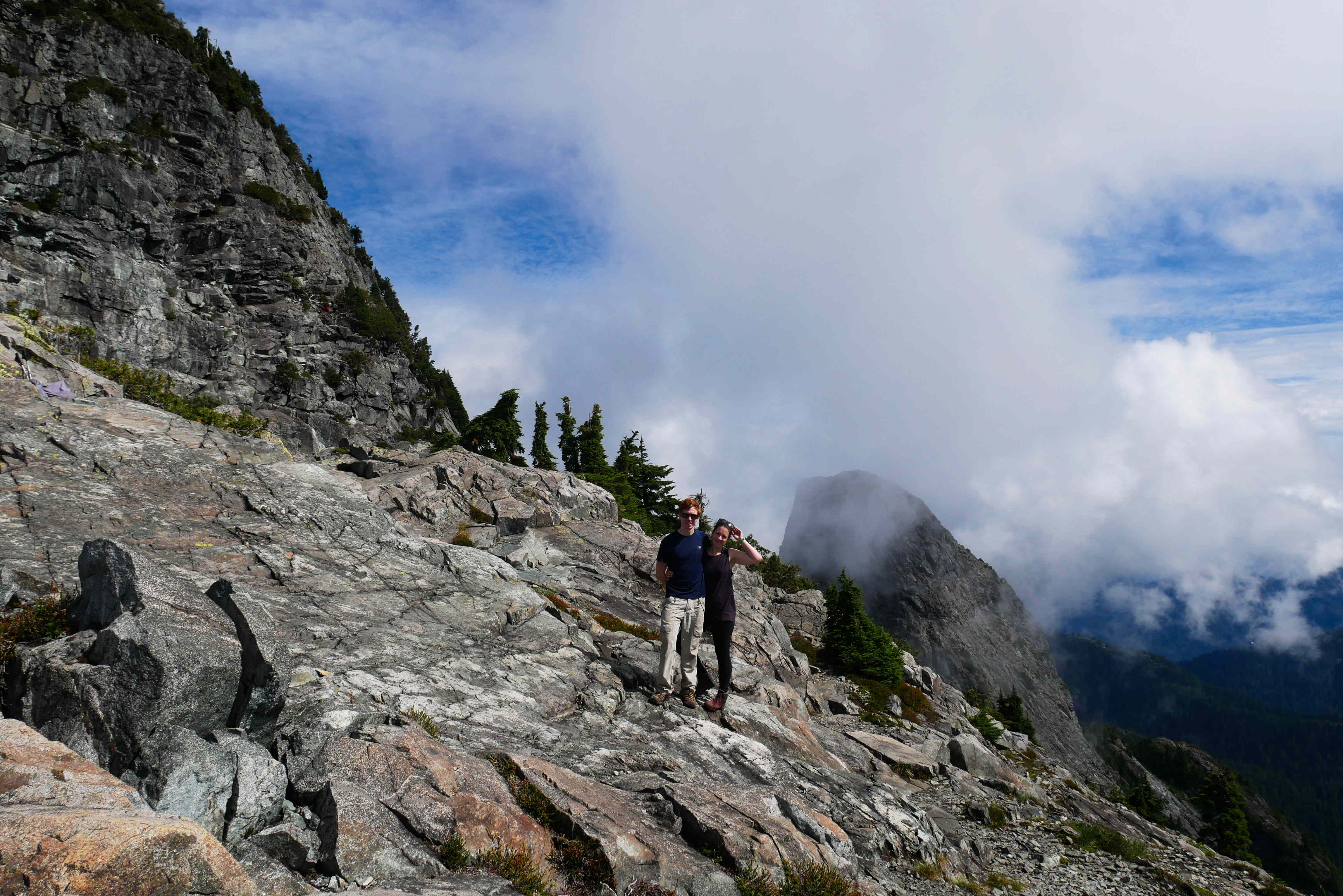
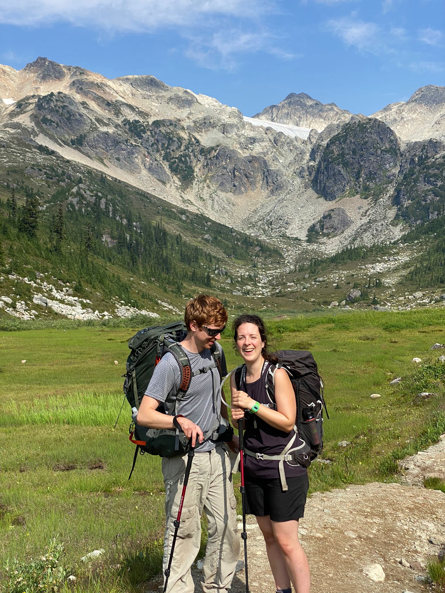
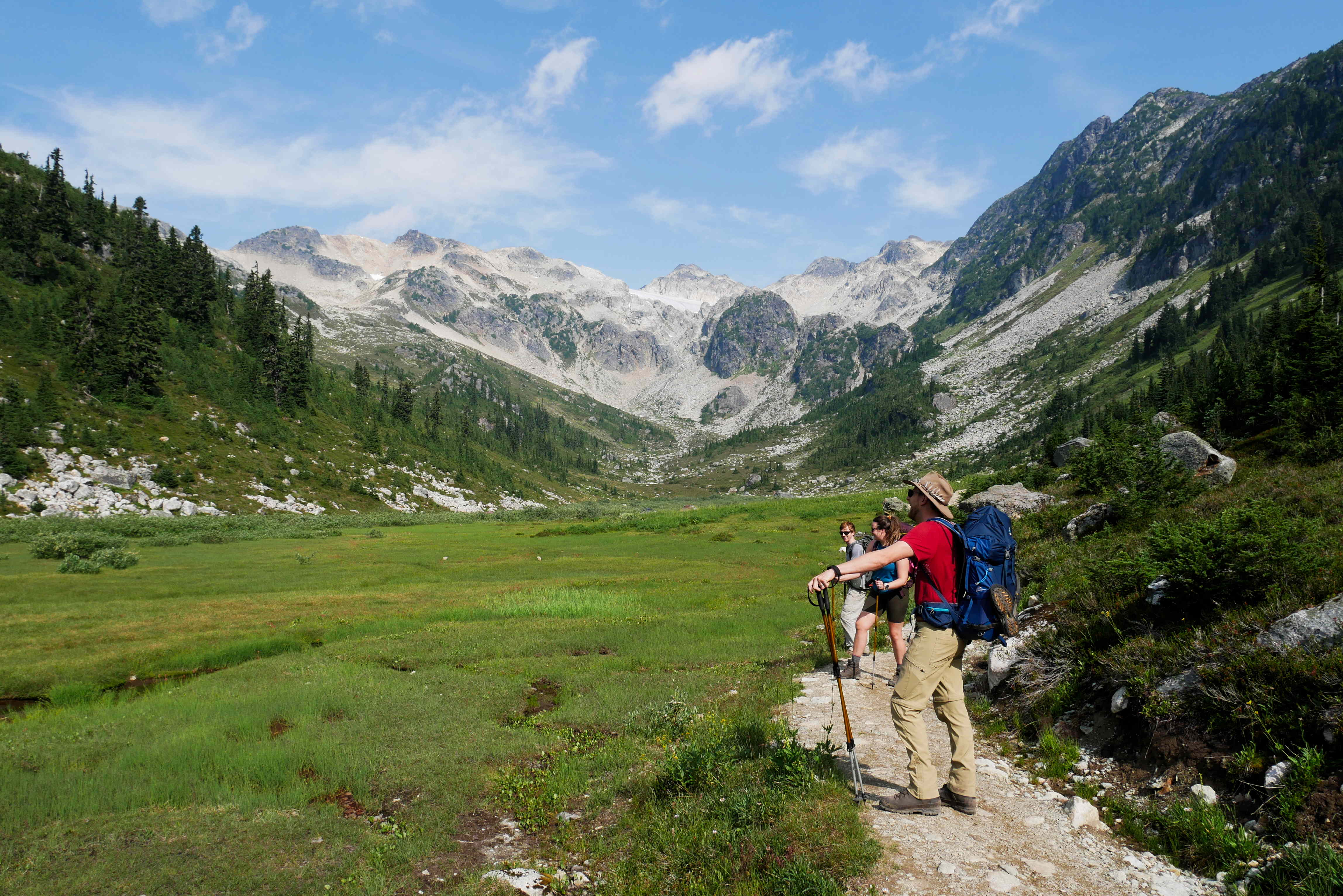
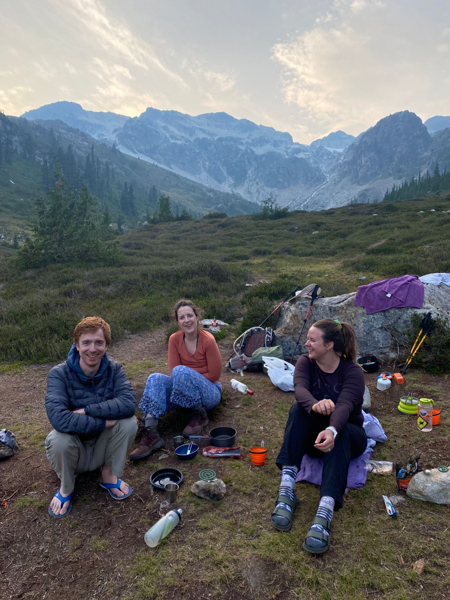
We found a comfortable rock to have our first lunch while we tried to make out the peak of Burwell just a bit further away.

Top of Burwell (left) and Cathedral Mountain in the background

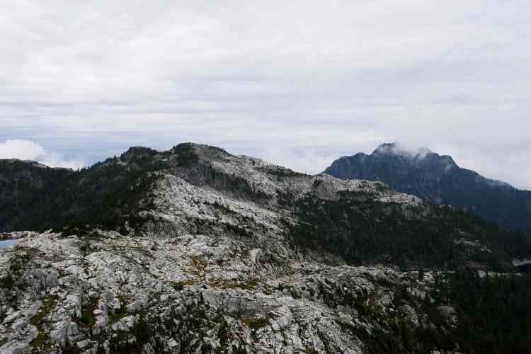
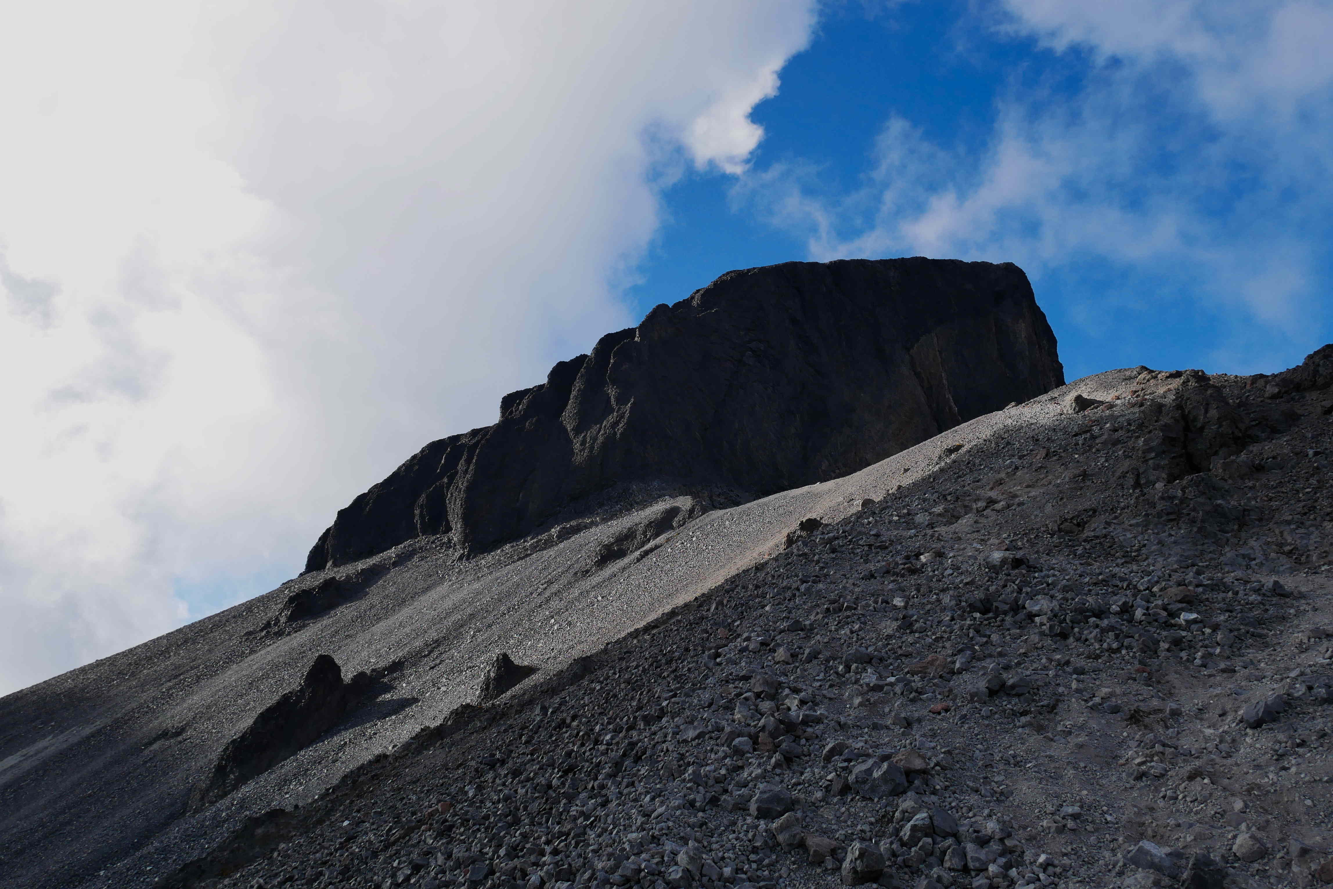
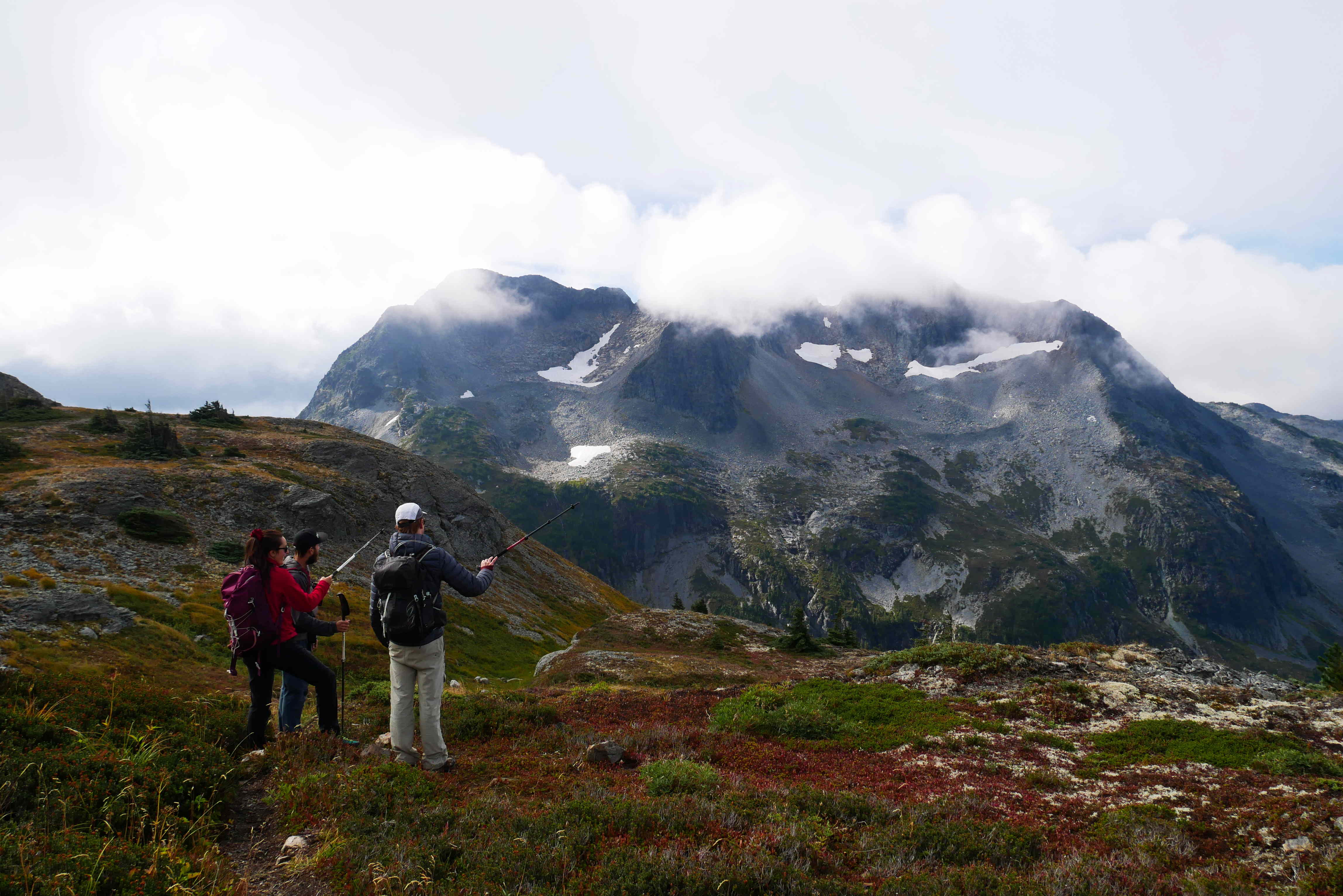
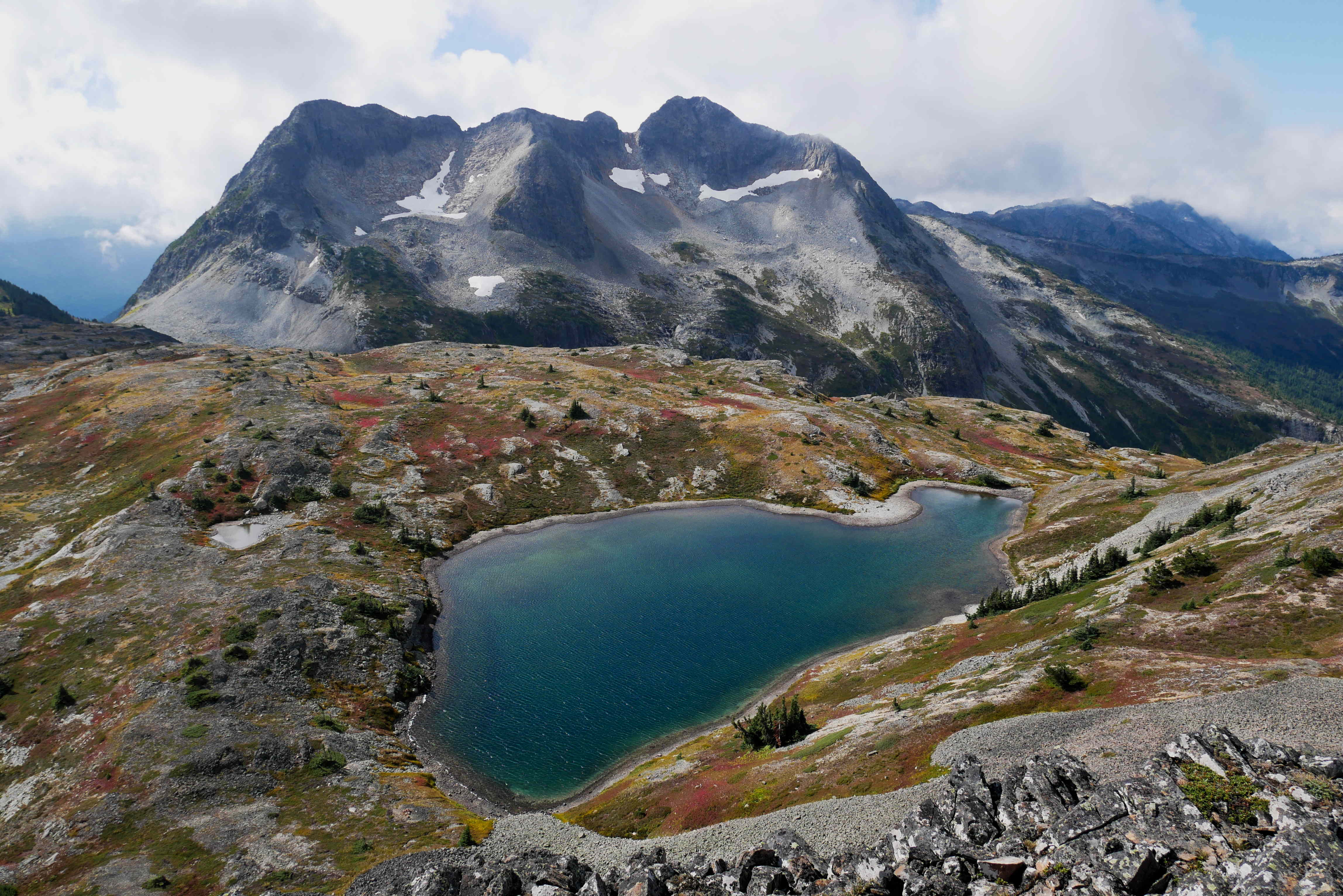
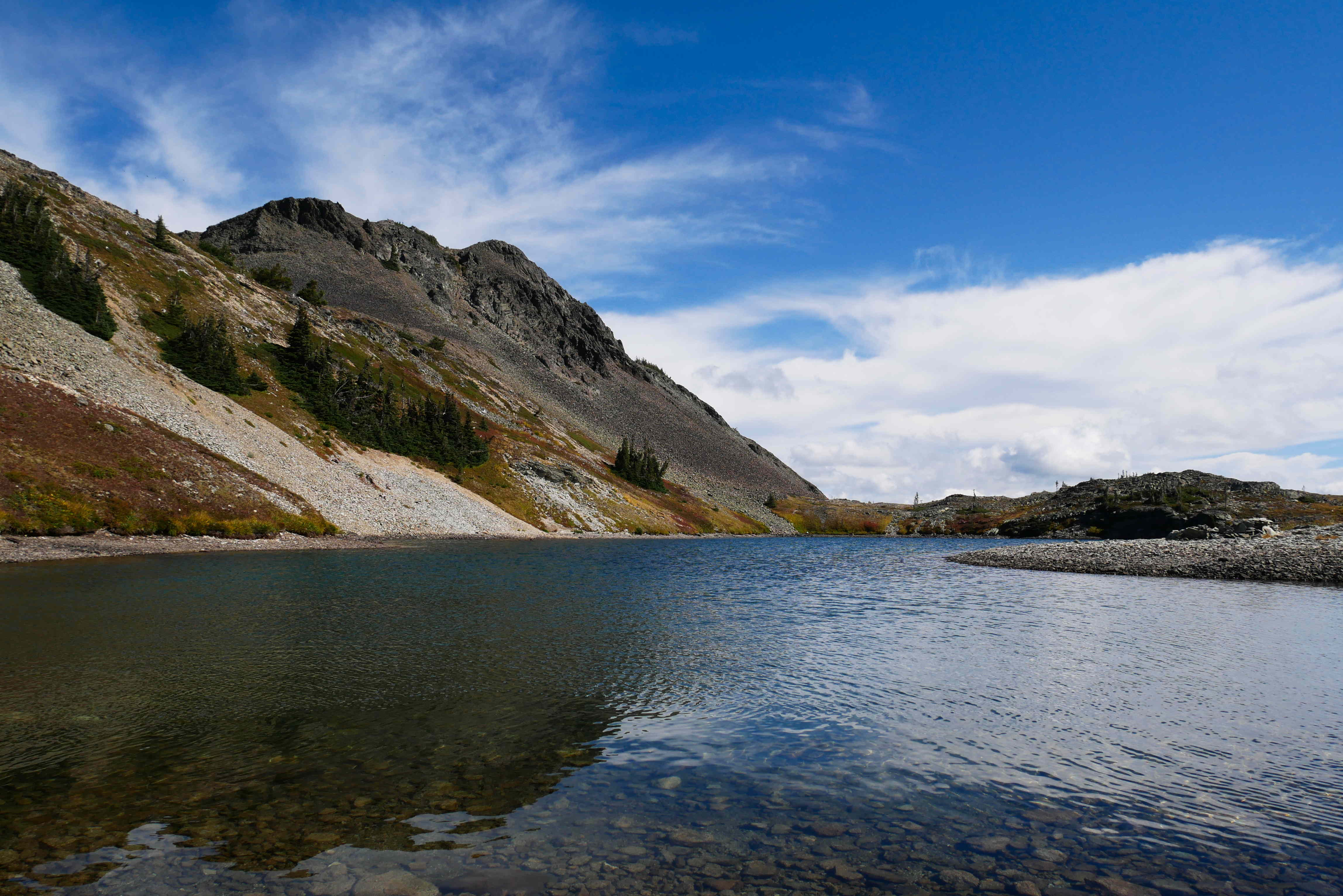
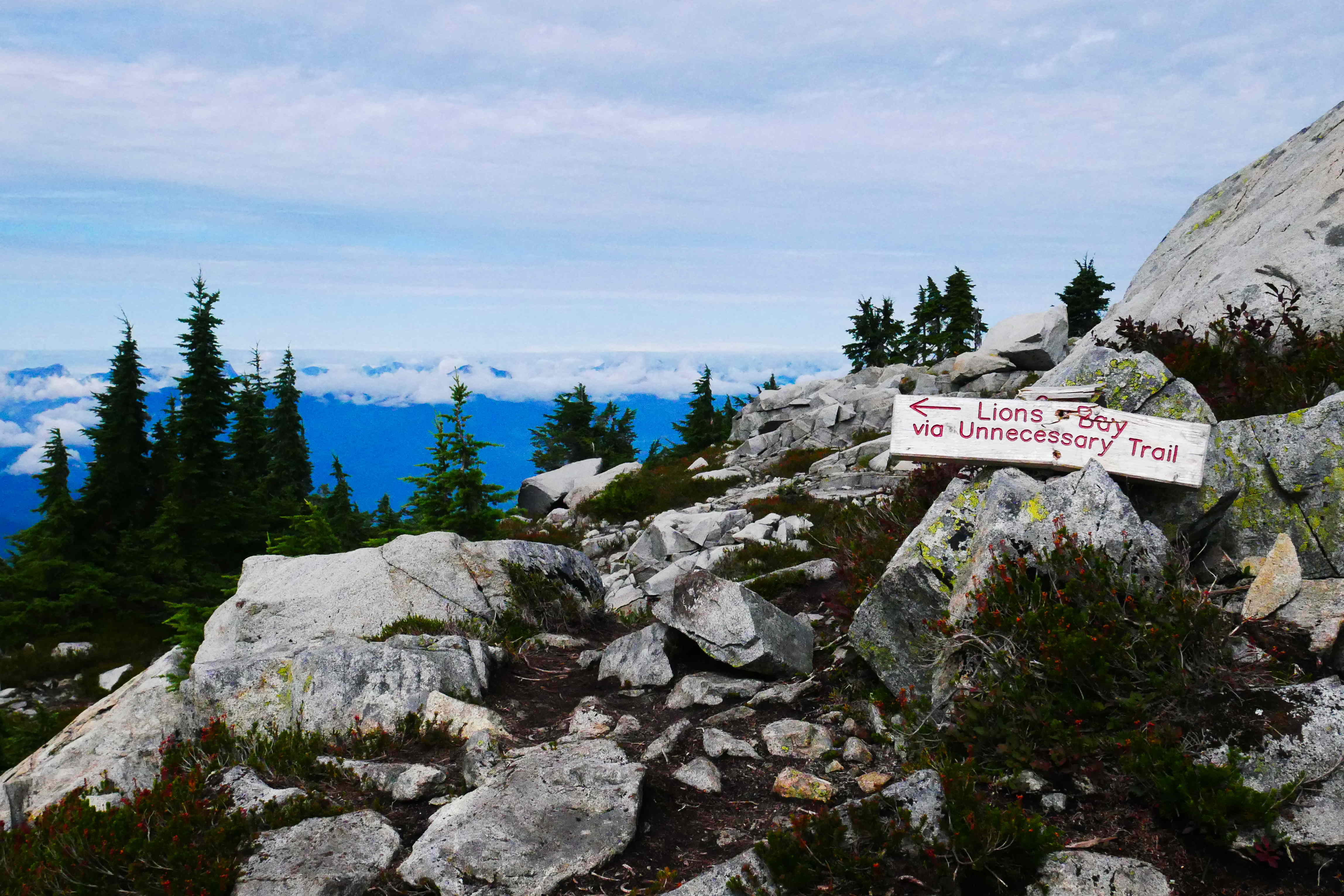
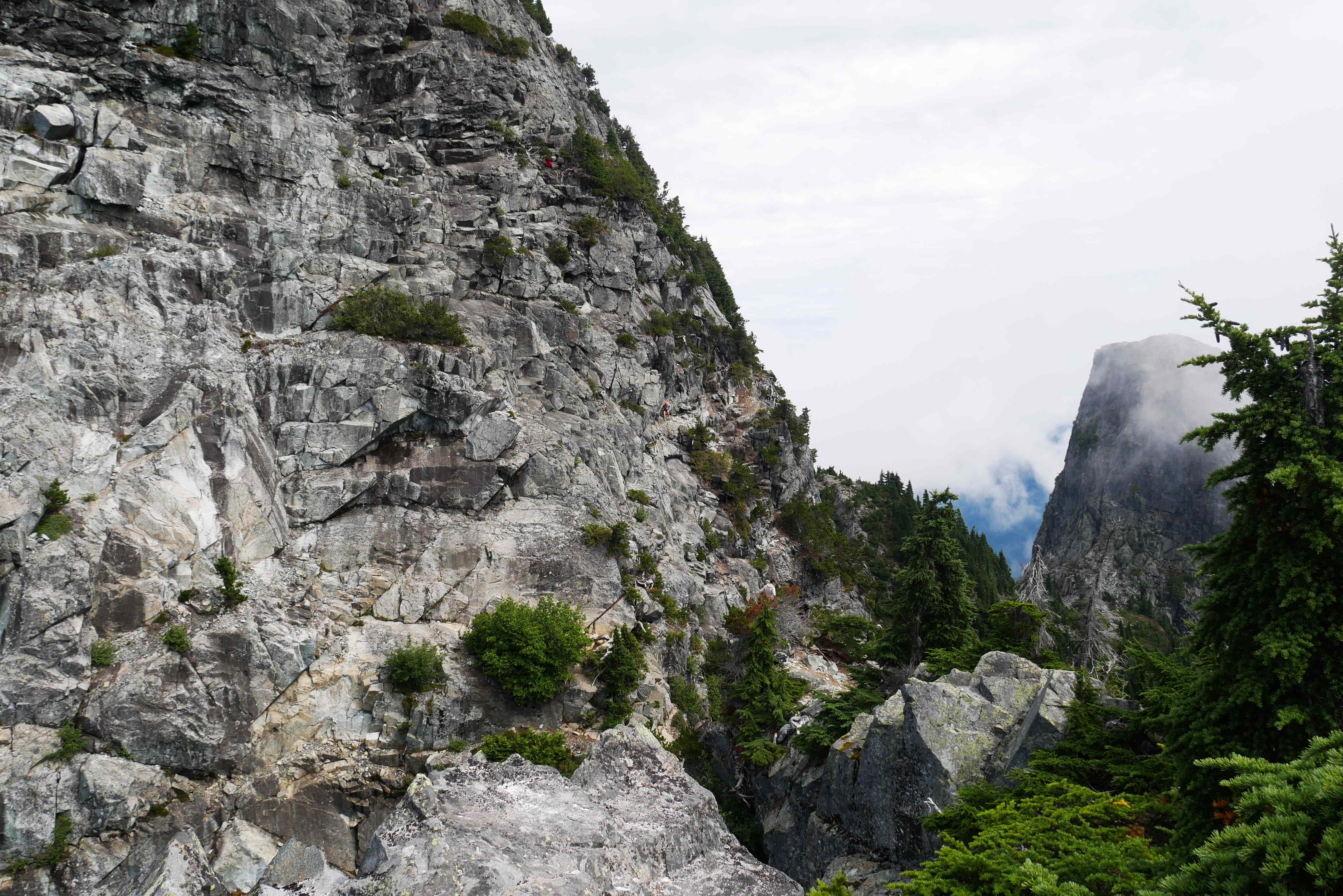
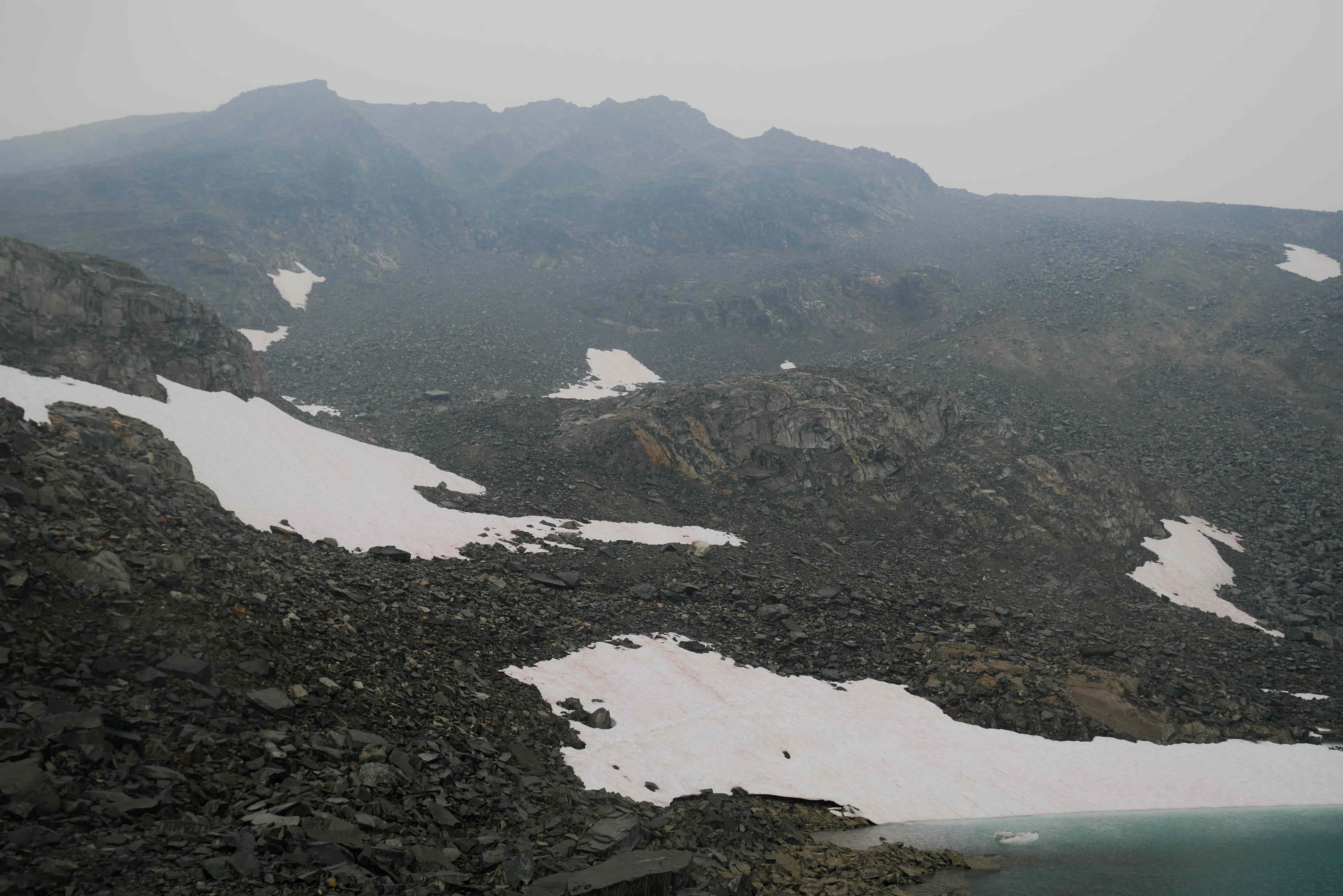
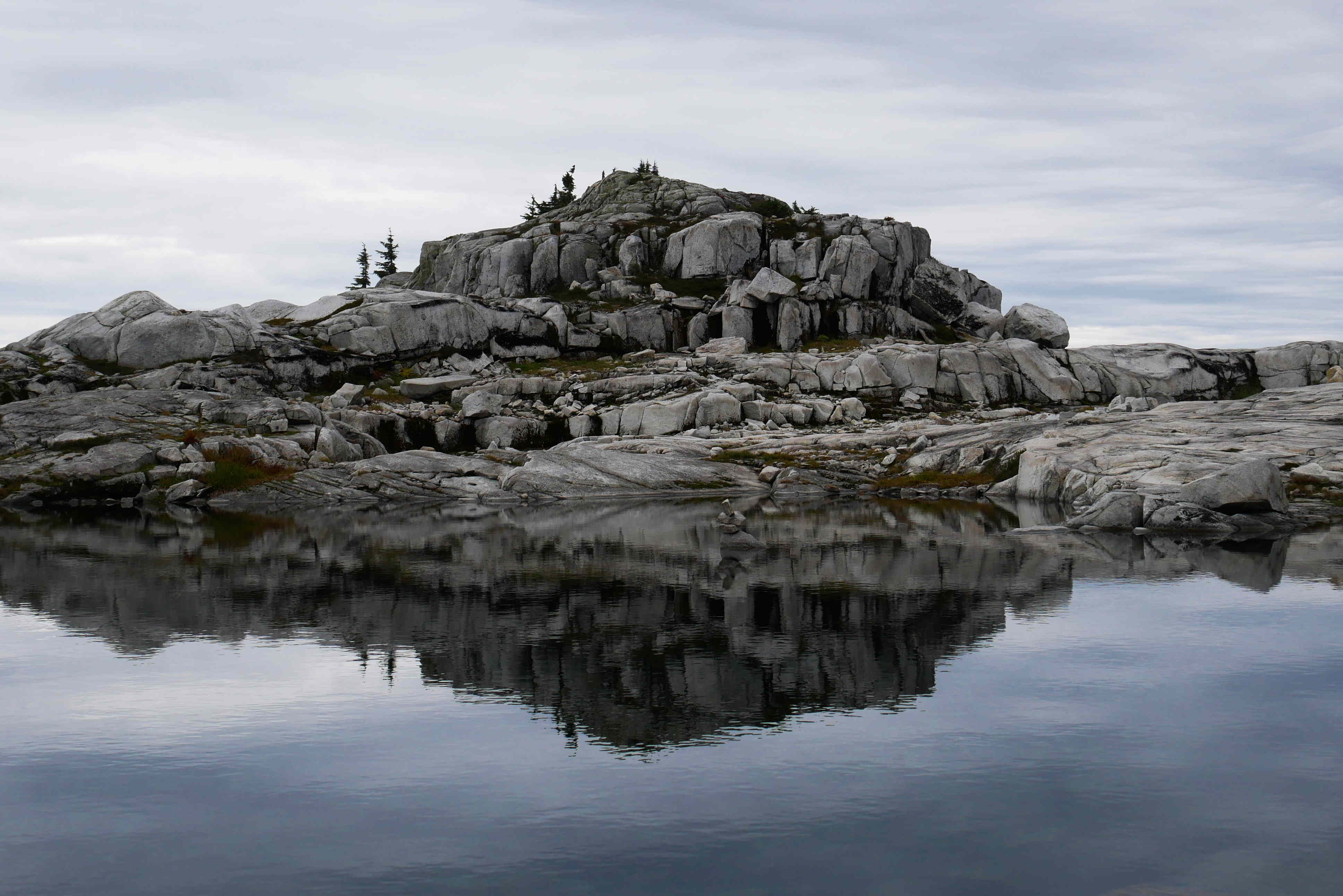
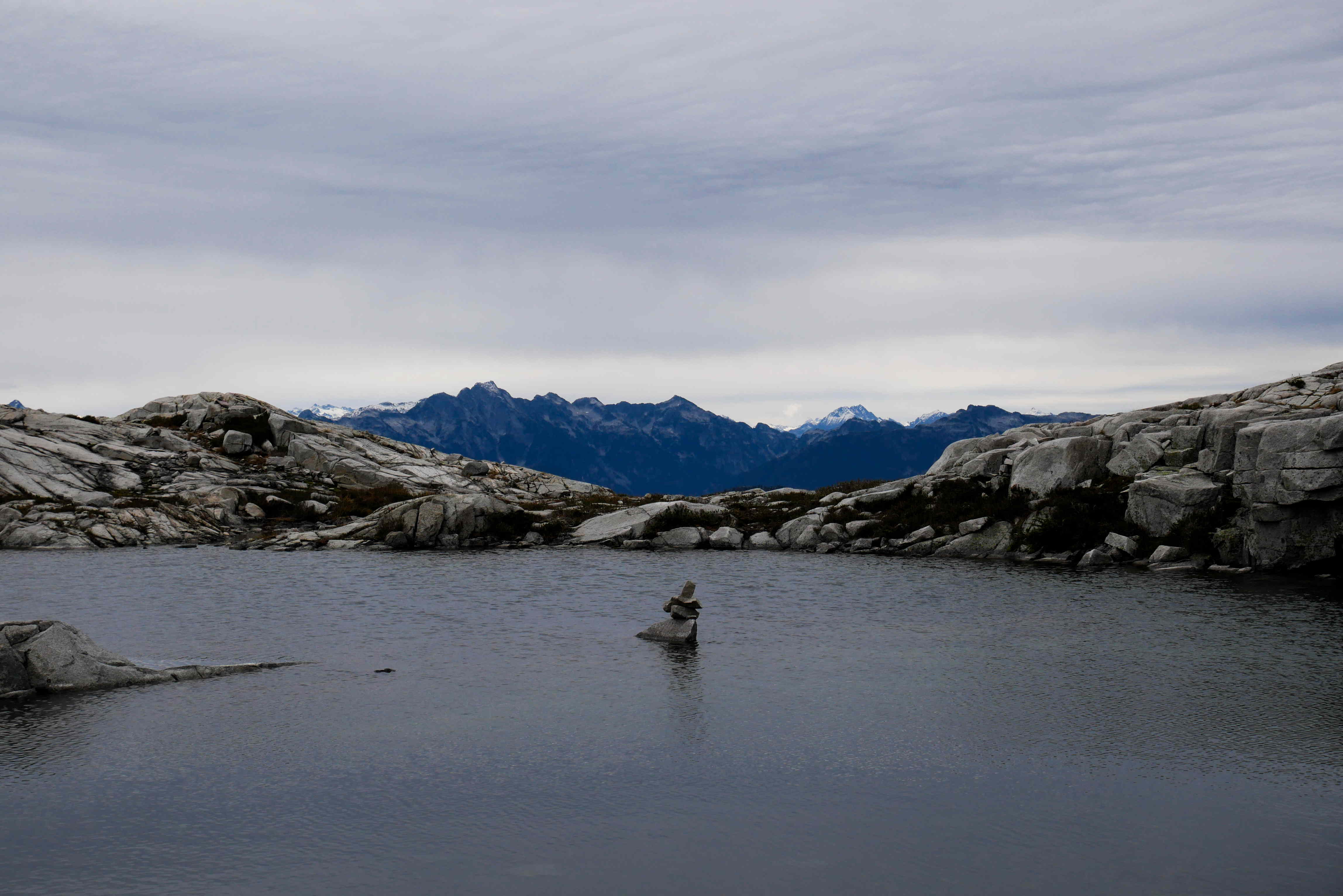
Luckily we had taken a photo of the instructions in our hiking guidebook, as the route up to Burwell was not obvious. We went past a large tarn and over a few more treed bumps before climbing up to the summit.

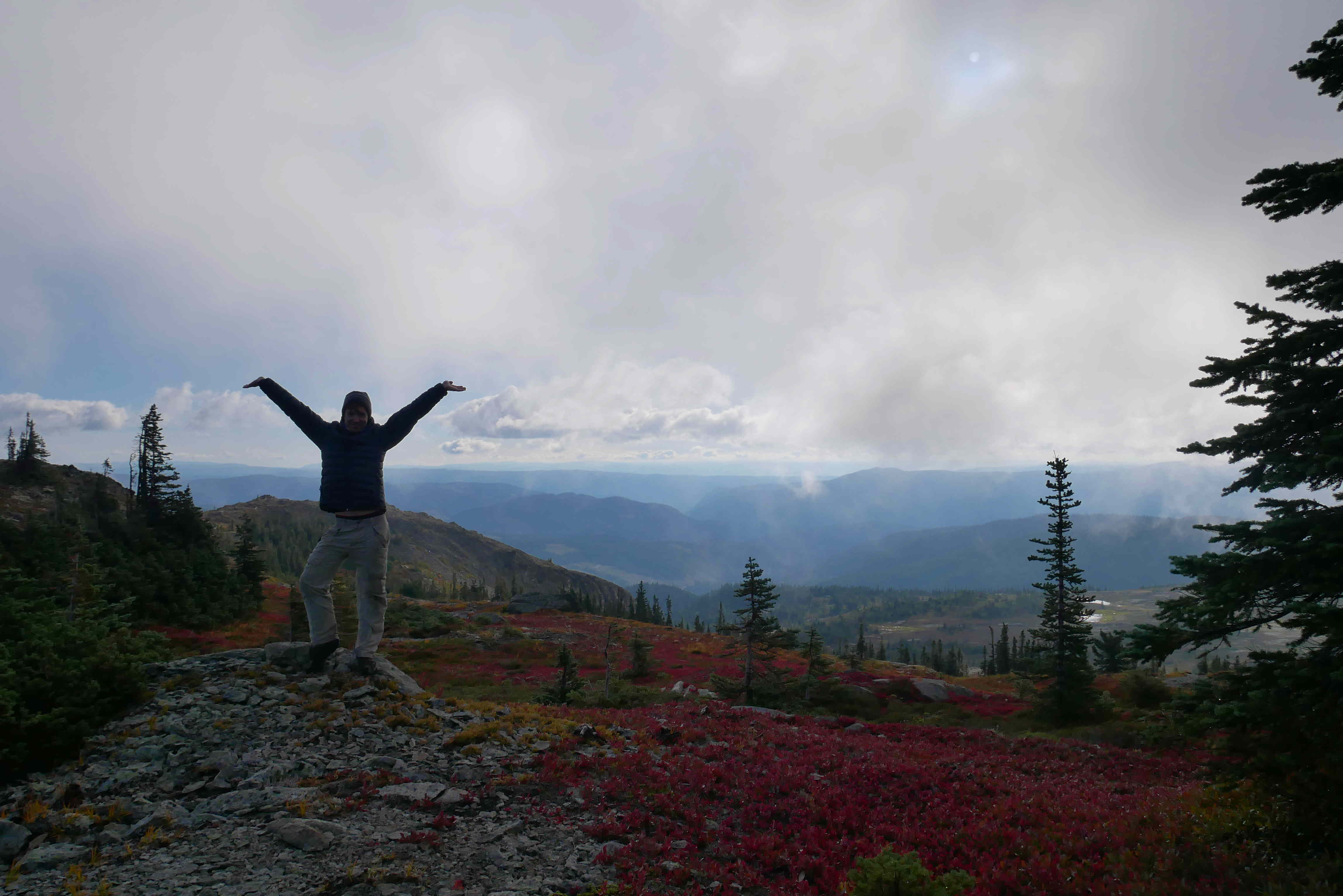
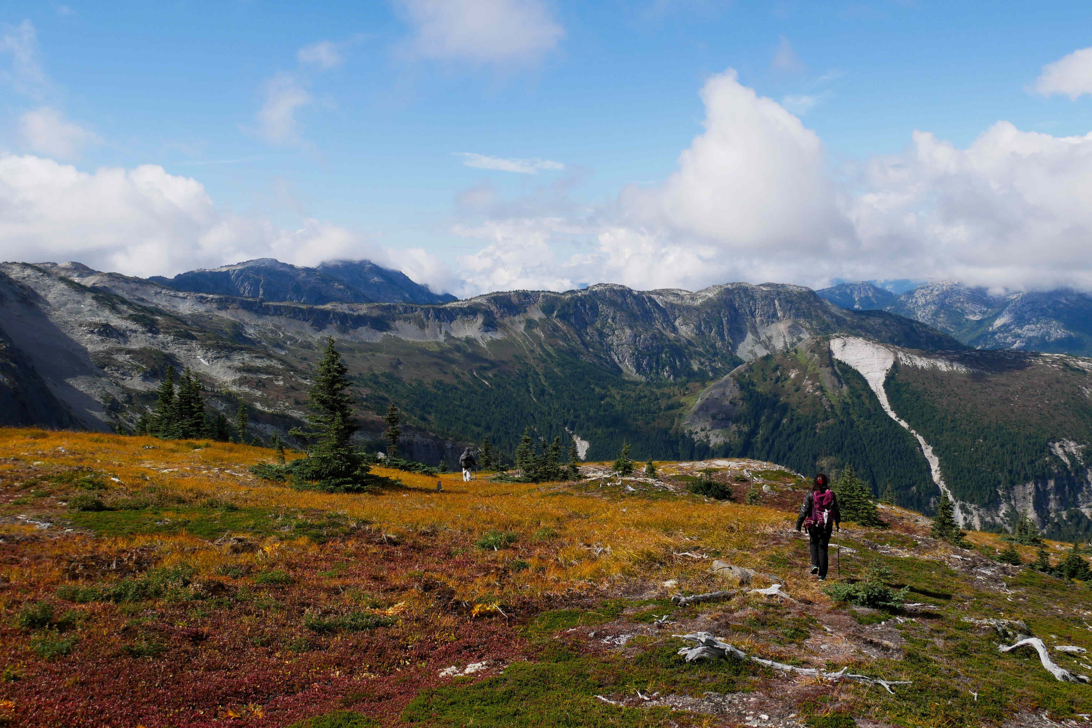
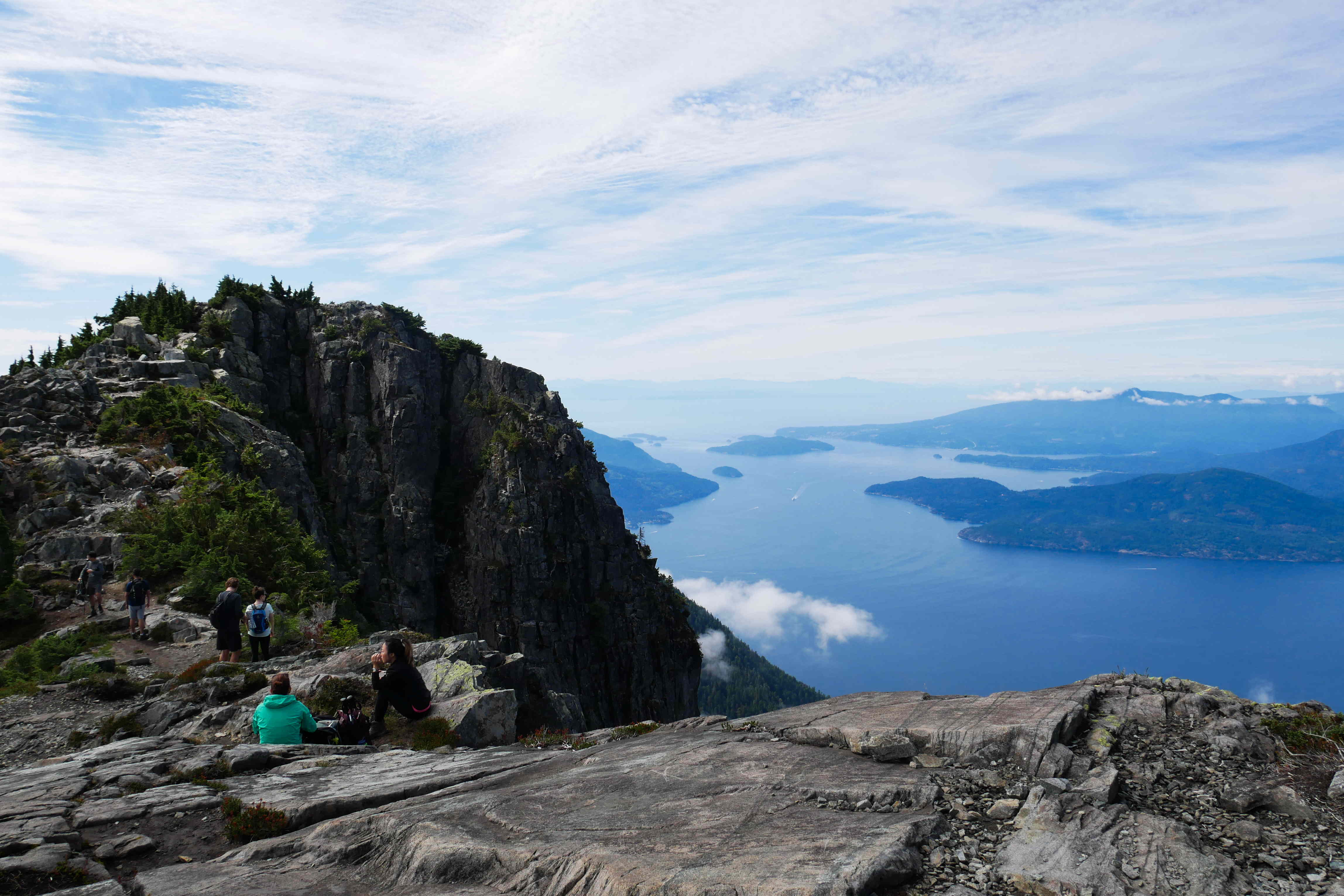
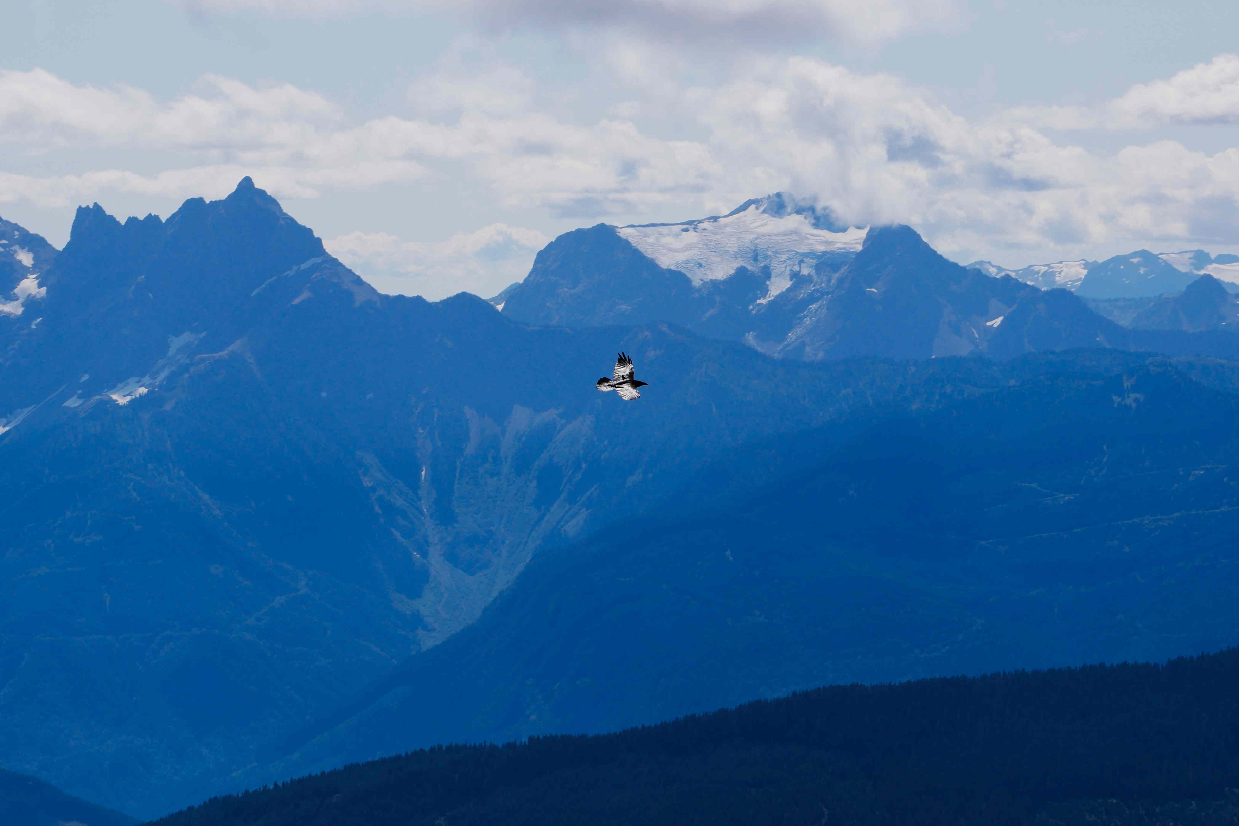
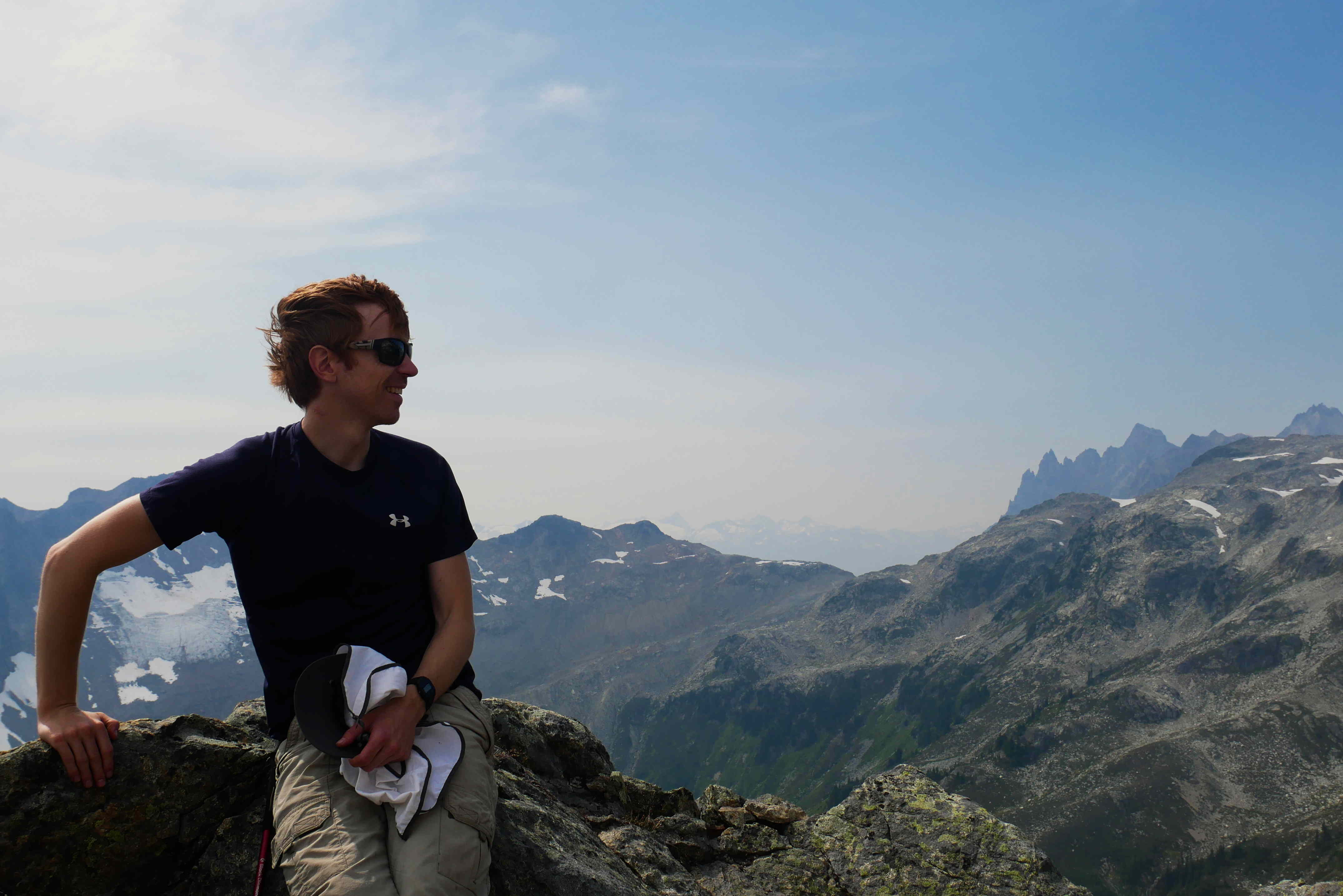
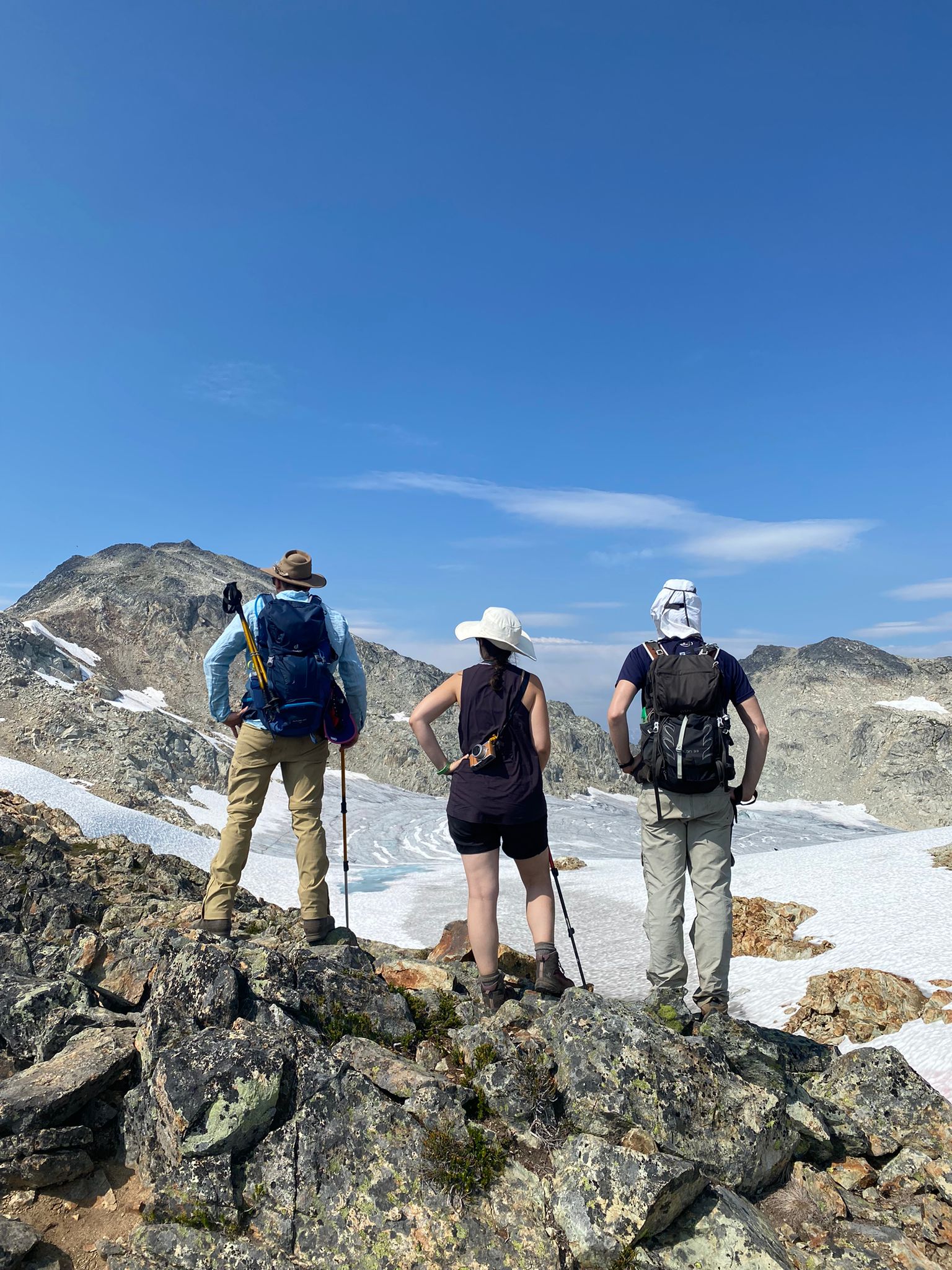
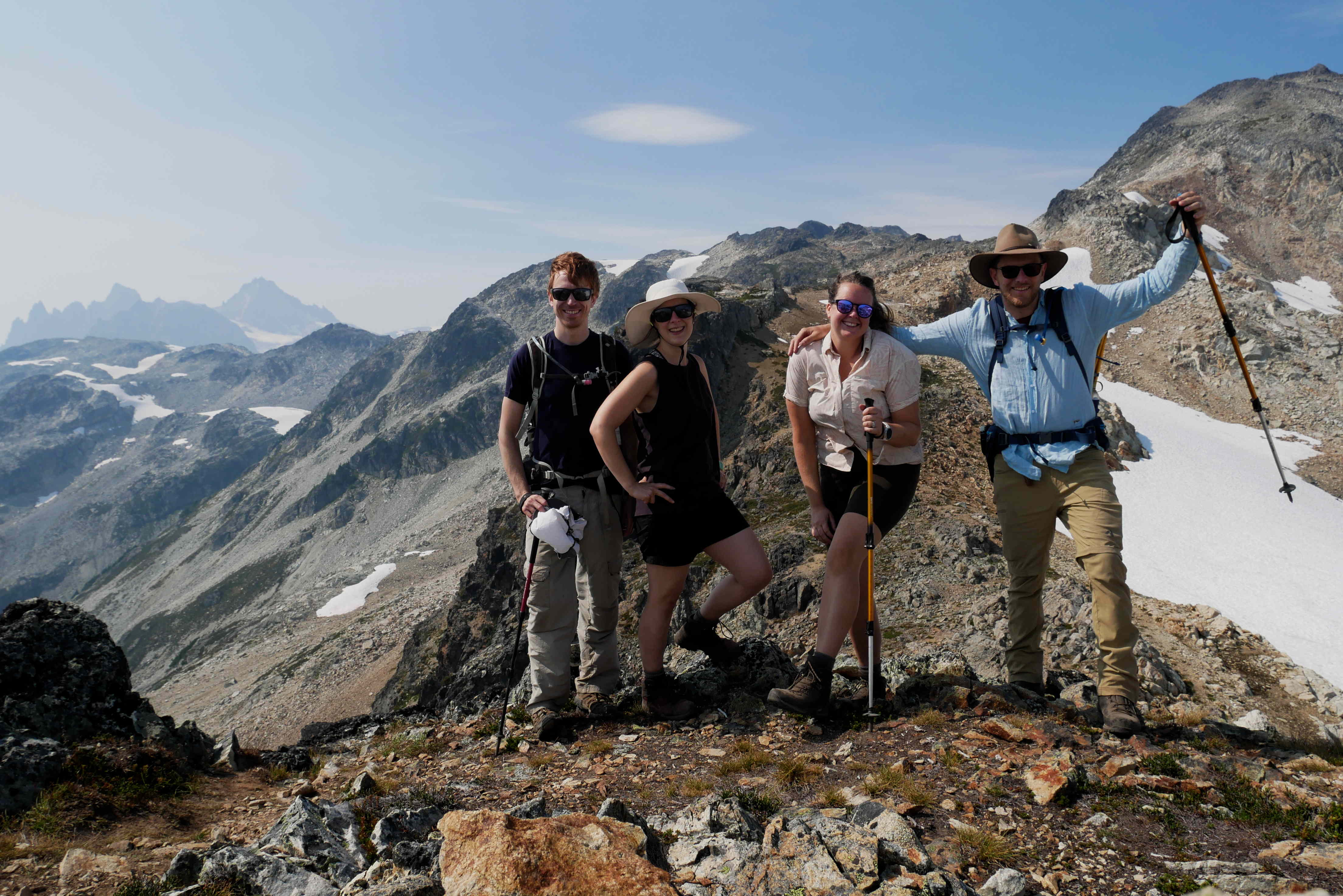
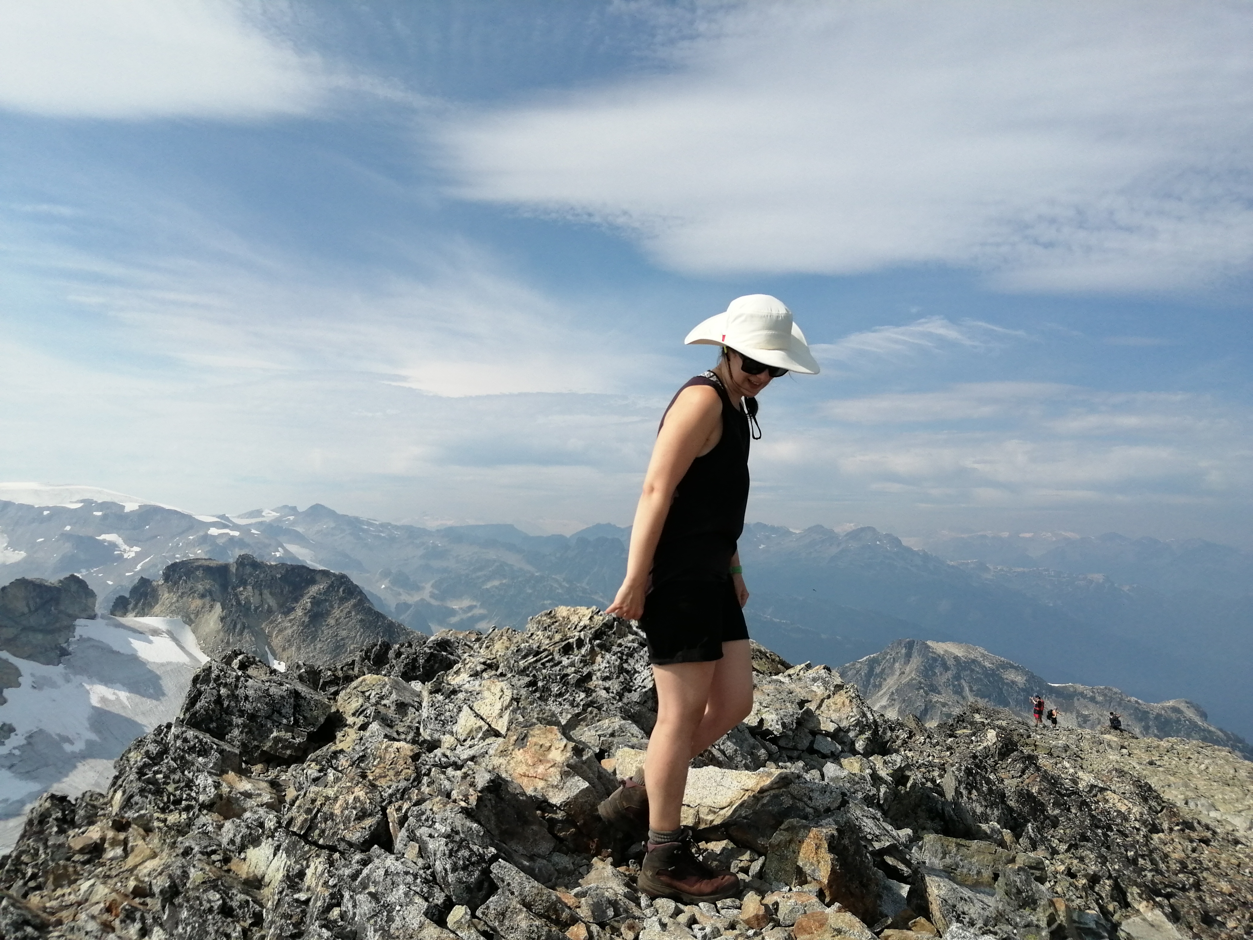
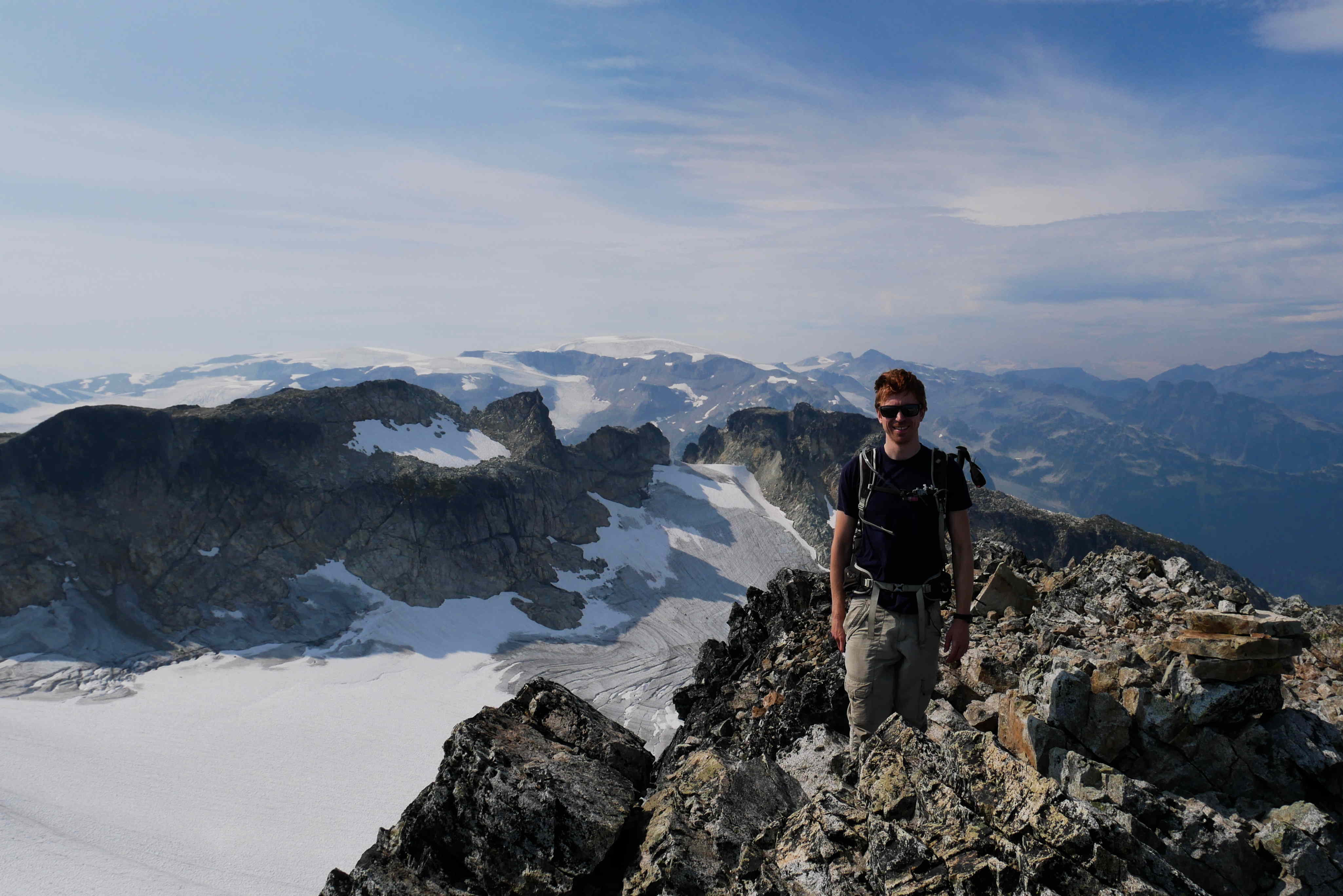
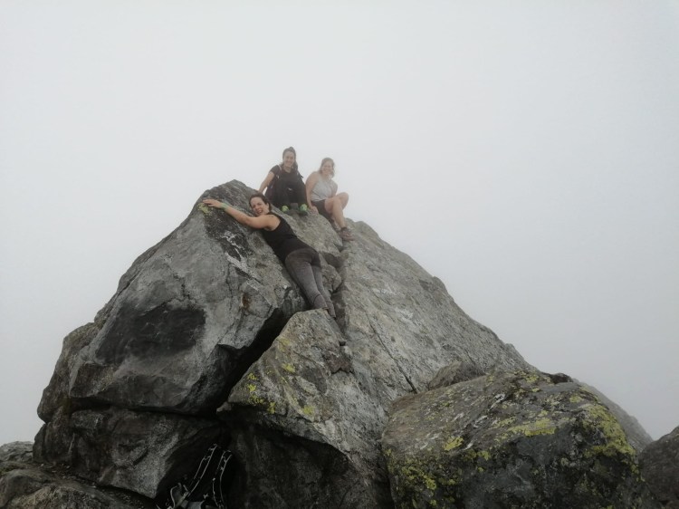
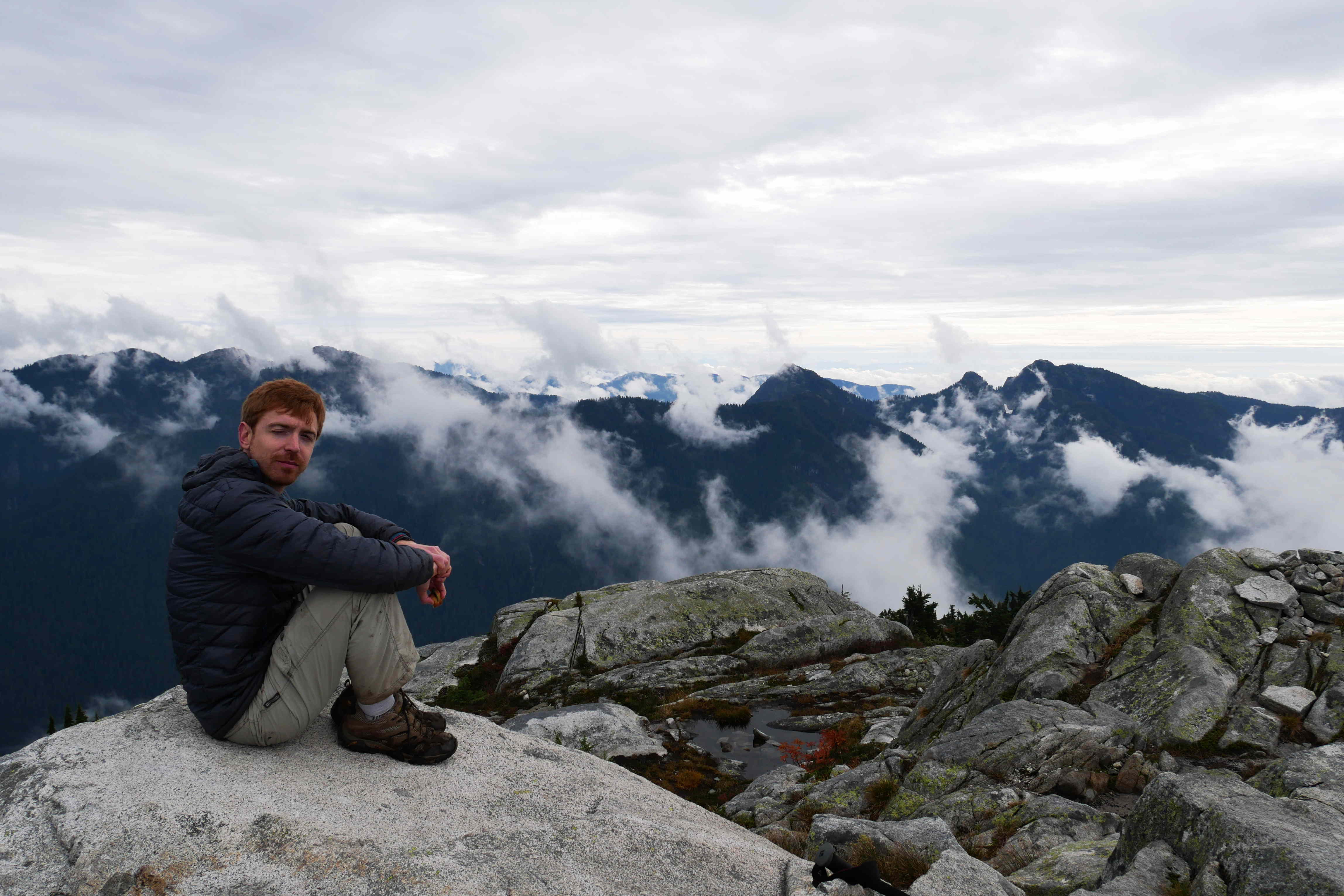
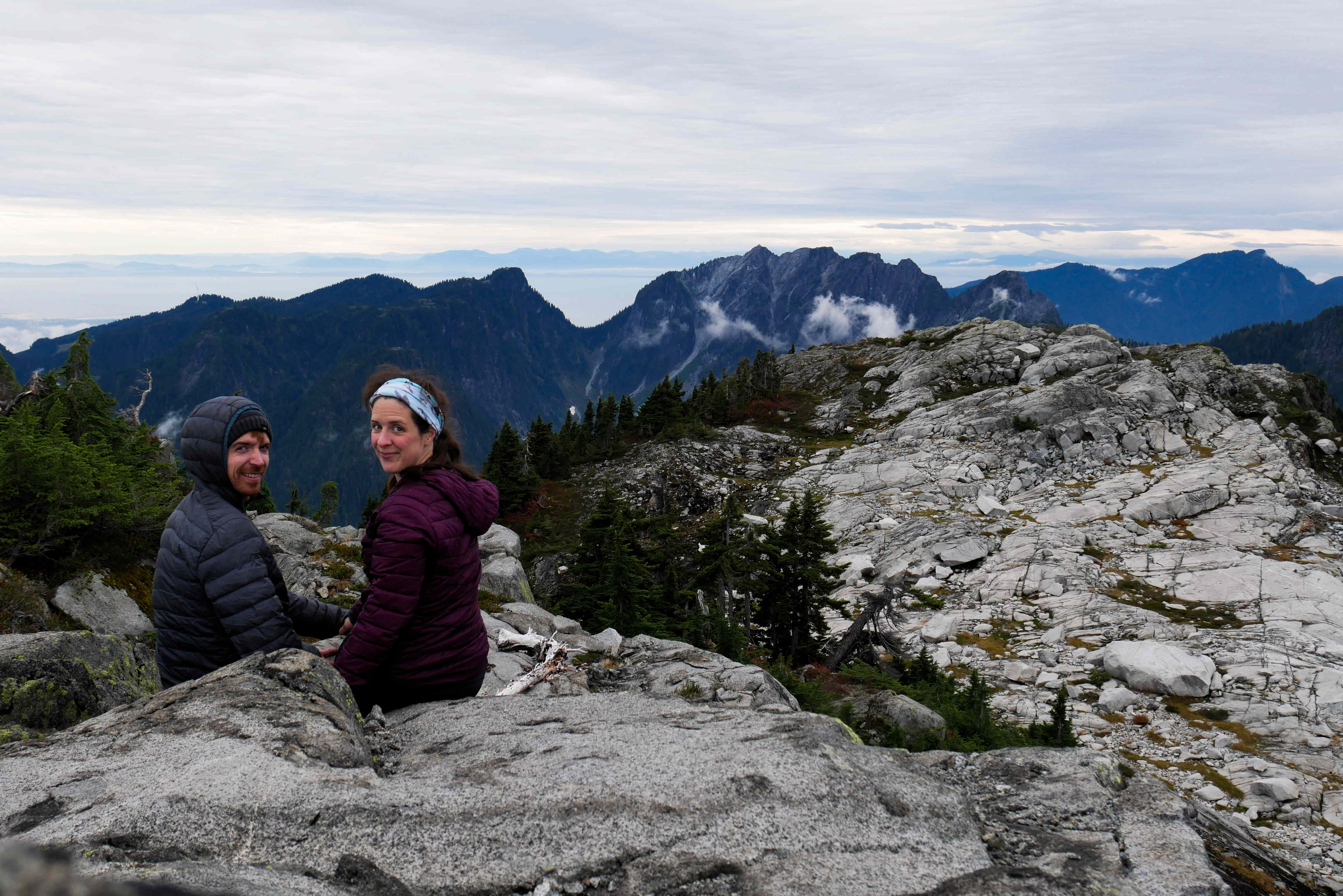
As we were having fun jumping across the rocks and scrambling up steep granite slabs, the lower clouds were all blown away! From the top of Burwell we got a great view of lots of the North Shore mountains that we have visited over the summer. It felt like the perfect last mountain to climb (probably).

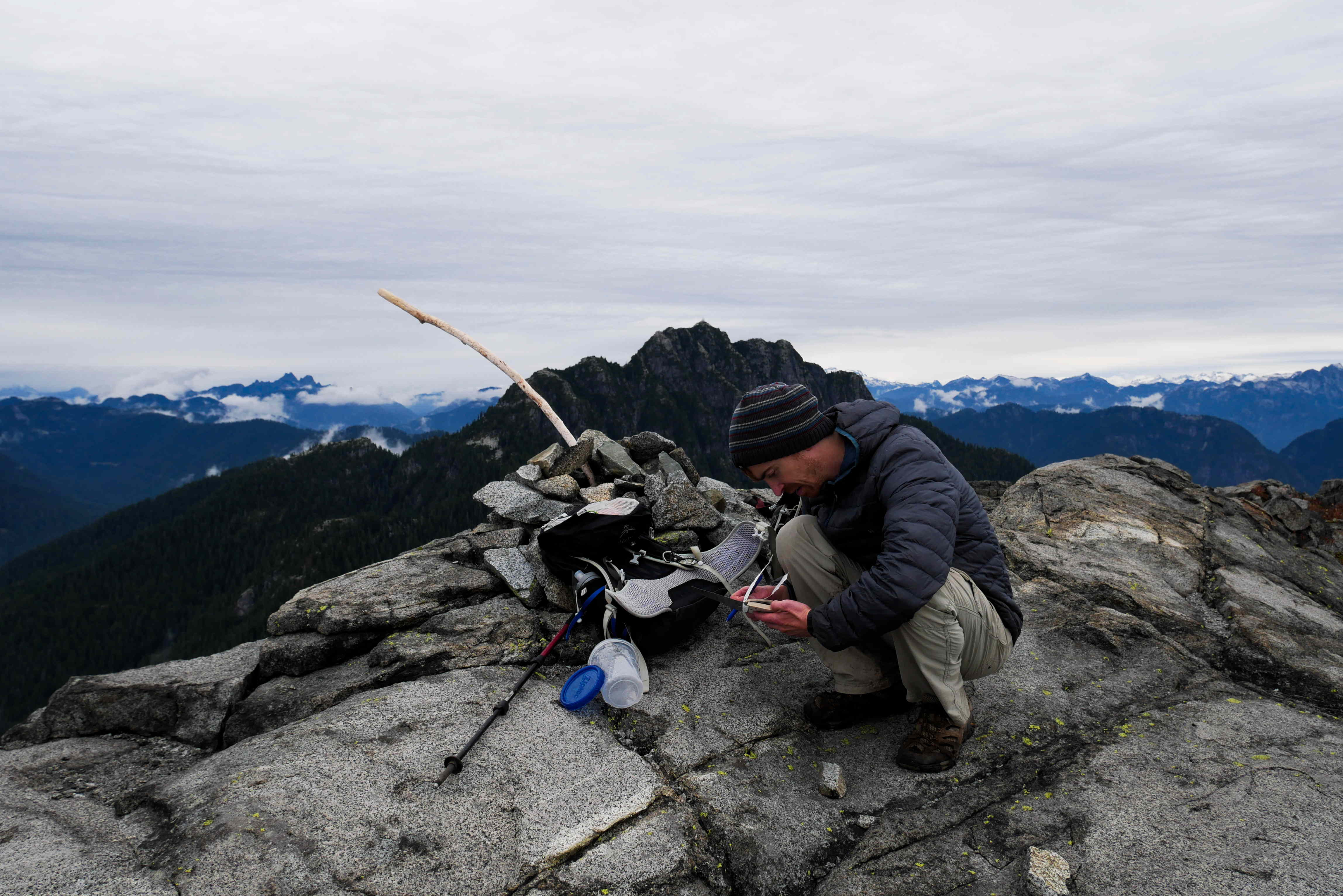
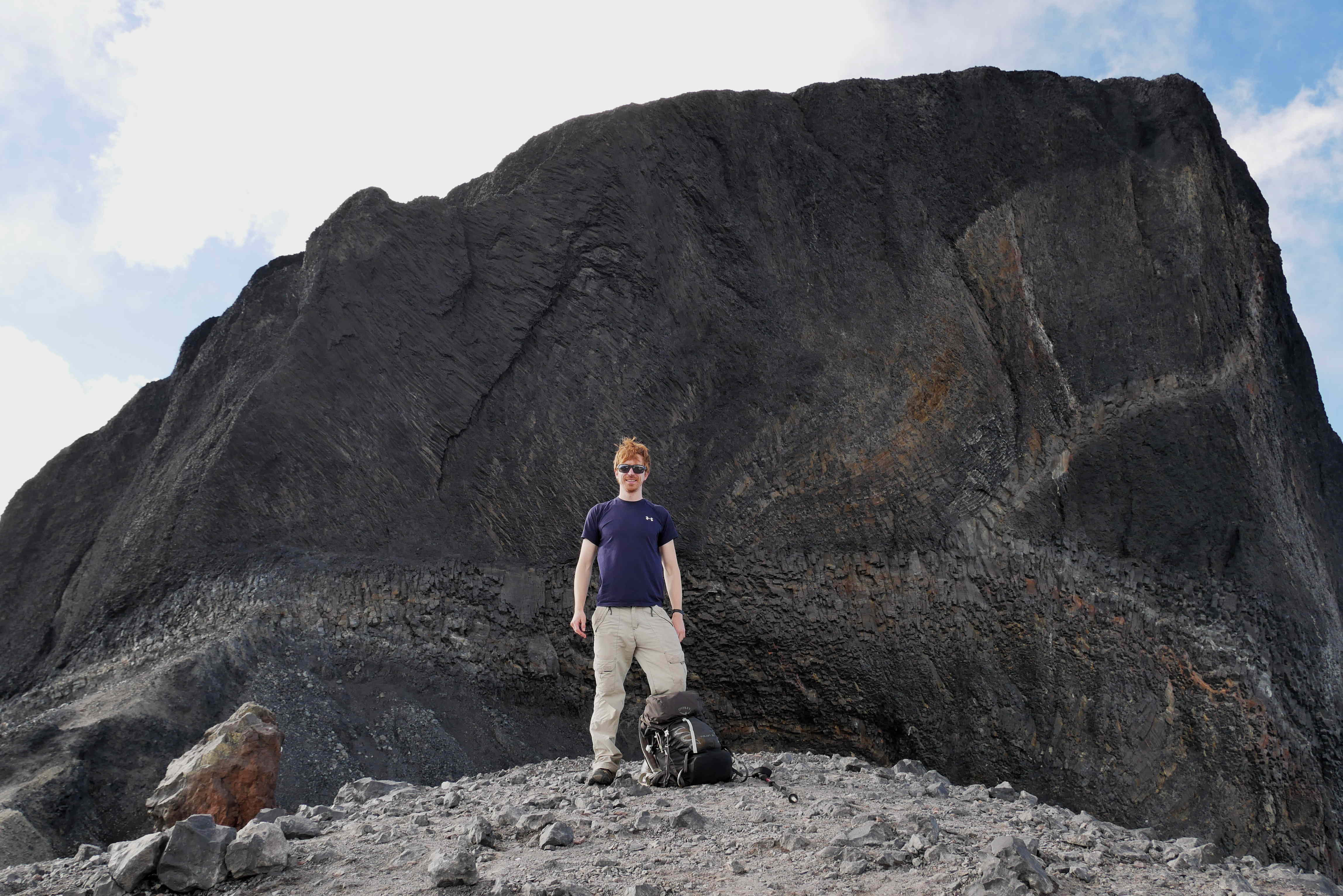
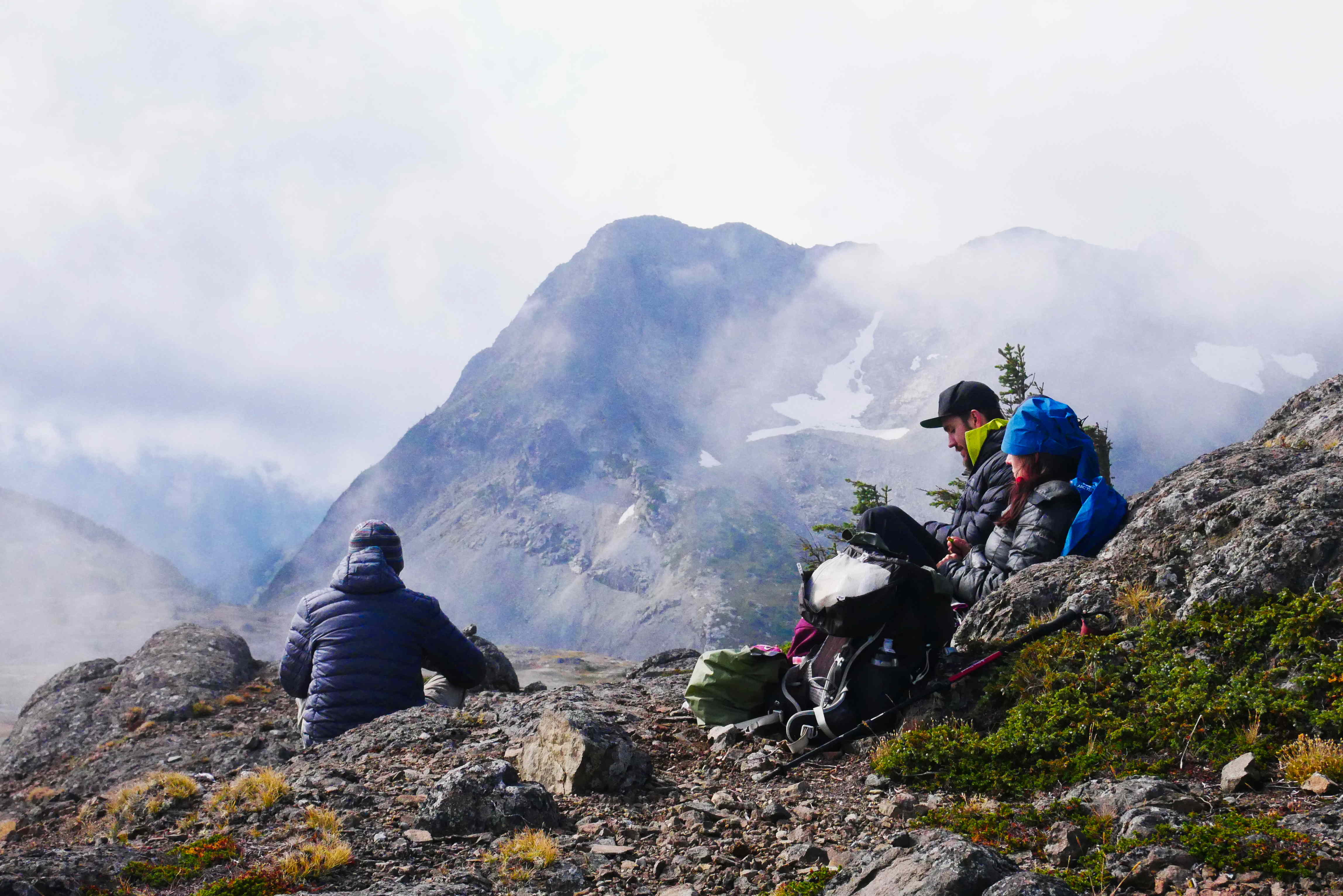
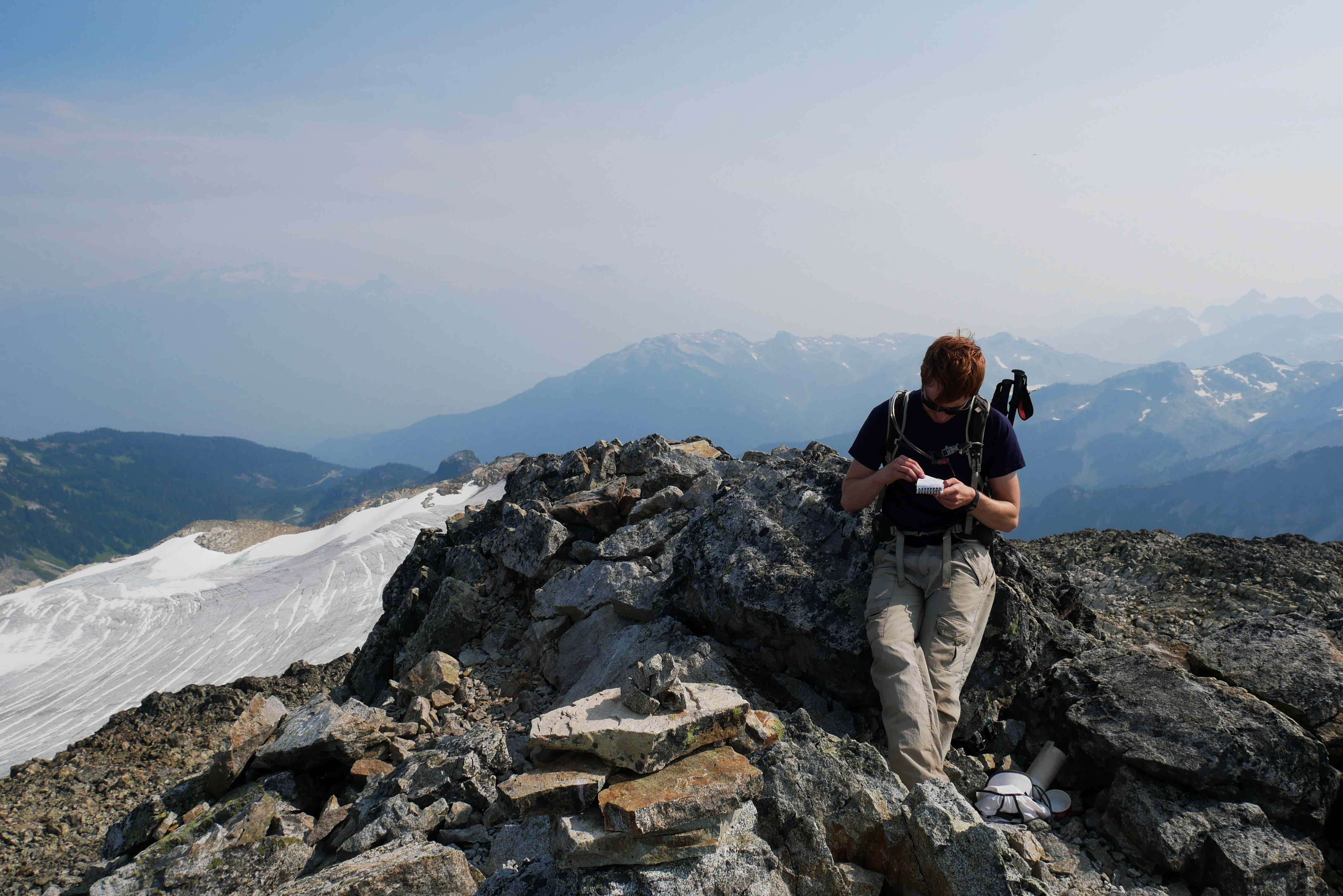
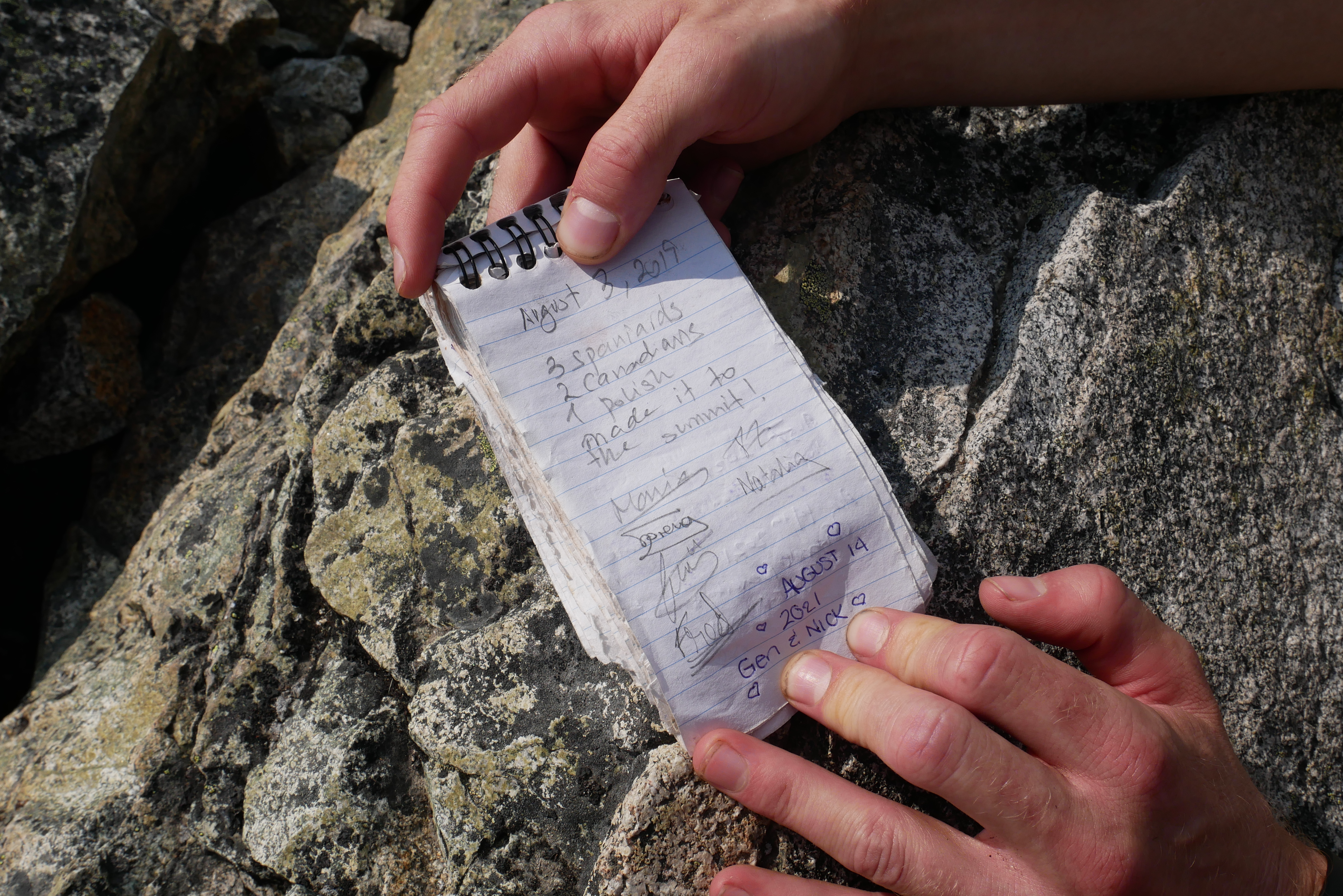
There was a “Peakbaggers” cache at the summit with a notebook to sign. We added a note to explain what we were doing up there. The other people who had signed seemed to have just come up here for fun… weirdos.

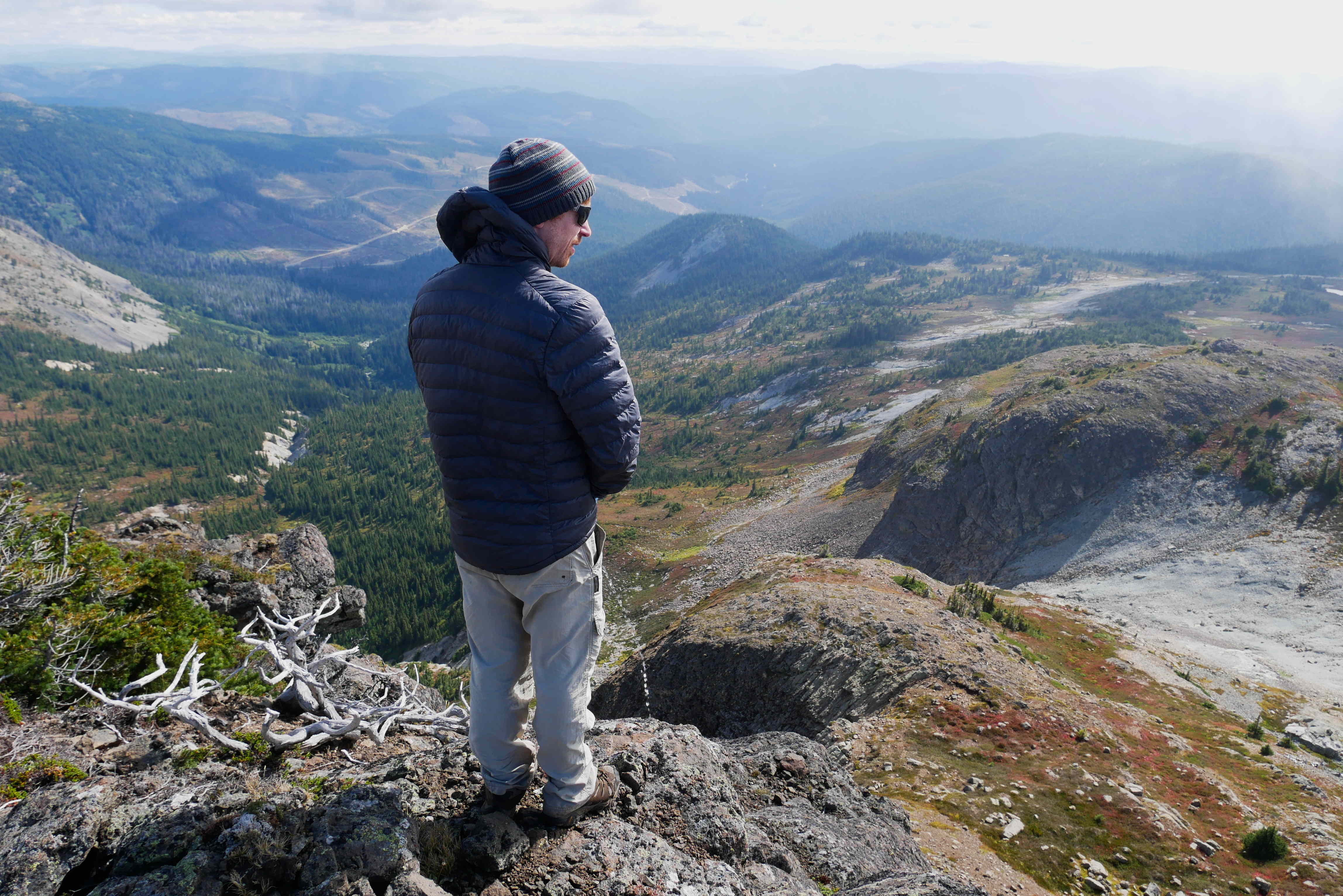
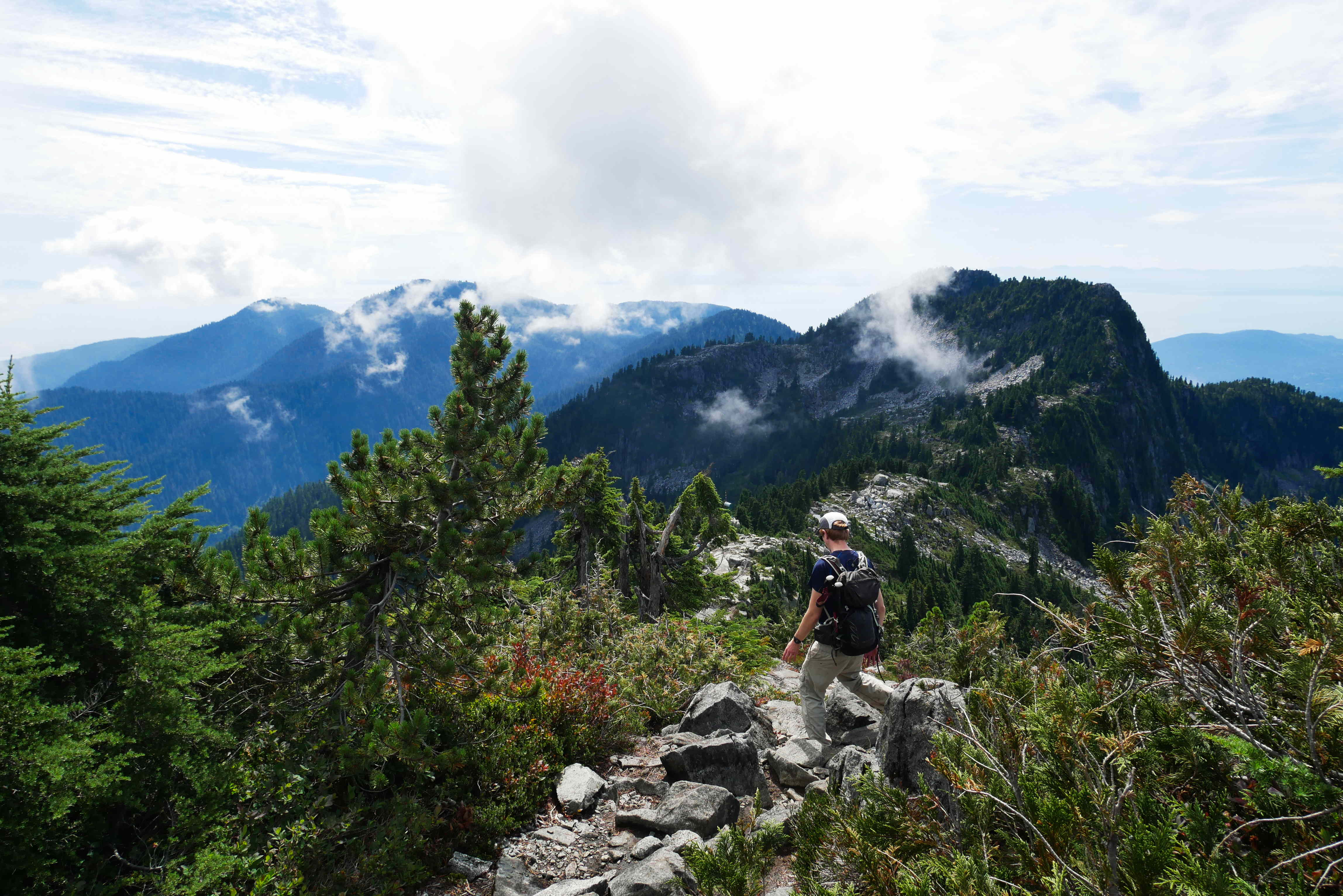
After we said one last goodbye to the snow-free peaks, we picked our way back down to Lynn Valley. It took us longer to go down than it had to go up, as the steep rocks and roots were so slippery. We did also have a second lunch break… Finally we arrived back at the car 13 hours after we had left and in the dark again – we were very tired and achy but pleased we had managed to visit Burwell.

This weekend is Canadian Thanksgiving (which is apparently about celebrating the harvest rather than the arrival of the pilgrims as in the US version). We have several dinners planned and get Monday off work – so we are thankful already!

Blog 88

We don’t have much to report on this week. We travelled back from Vancouver Island on Saturday, had a very lazy Sunday and then got back into the work week.

We have had a few chances to socialise, starting with dinner at Thom and Hannah’s. Hannah’s pumpkin and chocolate cake was exquisite and we look forward to forcing her to make it again. Tom and Maria, who we went to Illal Mountain with, finally bought a BBQ. This meant we could have our first BBQ of the summer at a cloudy beach, where we had to be extremely vigilant of the amassing seagulls. A few other nights of drinks have led to us craving an early Friday night!

Maria told us about Squid Game, a new Korean Netflix show which is getting very popular. She showed great restraint on Sunday night by watching all nine episodes in succession, staying up until 4am and missing a morning of work. We have managed to successfully limit our consumption to one episode per night so far.

This weekend we are going to attempt walking to Mount Burwell, mainly because Rosie’s sister, Lucy, lives in a village called Burwell. The weather doesn’t look great, but the snow will be here before we know it so we are going to go anyway. On Sunday, Ollie will be doing some more trail maintenance and hopefully testing out some of his previous work too.

A Holiday from our (Working) Holiday

A short blog this week as we are on holiday without a laptop. We are writing this on a phone with pretty poor signal, so not sure it will make it to you anyway… The campsite we are in claims to have WiFi near the reception, so perhaps that will save us! Also, please excuse any typos.

We took a week off work to visit Vancouver Island again. Our plans to work on the farms we stayed at when we first arrived in Canada proved logistically challenging, so instead we have had a relaxed week with only a few plans.

We caught the ferry from Vancouver to Victoria (the same ferry we first caught in Feb 2020) and spent a couple of days camping just outside the city. On Sunday we met up with a friend we made on Gabriola (she was another volunteer) who now lives and works in Victoria. It was great to see her! Even if her cat did not get on well with Rosie…

Next, we had a couple of nights in an Airbnb near Nanaimo where we did nothing expect going to the pub for lunch! Rosie didn’t even take any pictures.

The longest part of our trip was to Tofino. We visited here before (March 2020) and did some walking and watched some surfing. This time, we booked lessons and managed to catch some waves ourselves! On both trips, we have been very lucky with the weather as Tofino is known for epic storms and rain.

We are planning to head back home tomorrow and are looking forward to a quiet Sunday back in rainy Vancouver.

Landing Place of the Thunderbird

Last weekend we spent two nights in our favourite Garibaldi park (forgot the biscuits AGAIN). We first went to this part of the park last year for a long day trip and have wanted to return to camp since then.

There are two trails which take you into the park, one goes from Cheakamus Lake and one goes from a car park further South. We wanted to walk from the Cheakamus Lake side, as we hadn’t been that way before, so booked a campsite along that trail. Unfortunately, Cheakamus Lake is quite easily accessible for people who don’t understand the importance of “leaving no trace” in nature. A black bear there was getting pretty used to eating human food/rubbish and had been pretty aggressive with some people – so the trail was closed. Our campsite was still open, but we would have to walk 17km one way to get there (rather that the 8km we had originally planned) – so we booked Friday off work rather than heading up in the evening. Also, the weather forecast was looking shocking – summer is definitely over in British Columbia.

Despite thinks looking speculative for our trip, we woke up on Friday morning to actual sunshine! We didn’t get up particularly early and got to the trailhead at 11am. We felt pretty smug with ourselves as we overtook people on the switchbacks up, despite our heavy backpacks – climbing mountains every weekend appears to be paying off. As we were walking, Ollie was trying to persuade Rosie to climb the Black Tusk, otherwise known as ‘Landing Place of the Thunderbird’, on the way. The original plan had included climbing this iconic peak on Saturday, but the weather was supposed to be way better today.

Black Tusk in the middle (taken last year)

Rosie was successfully persuaded, and we added the 6km detour to Black Tusk. It is even more impressive close up. As we’d left late, it was about 3pm by the time we got up there. We had the place to ourselves as everyone else had already headed down. There is a bit of a scramble/climb up a “chimney” (wide vertical crack) to get to the top, and the volcanic rock is very loose, so it is certainly not a walk in the park. It was quite an achievement though and we made it up (and down) with only one small cut to Ollie’s hand.

After this, we still had >7km to get to the Helm Creek campsite, so we put on even more speed and made it just before sunset. The place had been fully booked, but less than half of the people had turned up (put off by the weather and the extra distance we assume). We got a decent spot and ate our rehydrated curry in the dark before bed.

Black Tusk at Dusk

Clouds rolled in overnight and it rained all Satuday! Ollie was very pleased we had climbed Black Tusk the evening before and said “I told you so” a lot. Rosie was happy that we could relax for the day, do some wildlife watching and play cards in the tent. We saw lots of soggy marmots (didn’t get the camera out in time) and nearly stepped on some white-tailed ptarmigans near a small muddy lake we found. The volcanic landscape was very atmospheric in the mist, it felt like another planet.

The weather on Sunday was much better again! We packed up the tent and set off to retrace our long journey from the car park. We took another couple of detours:

  • “Panorama Ridge” – a favourite spot for Instagrammers due to the panoramic view of Garibaldi Lake and surrounding mountains. We had been up here last year and again felt pretty smug about how easy we found the climb with our newly seasoned legs.
  • For a swim in Garibaldi lake, which has got to be the best place to swim in the whole world. Also a great opportunity for Ollie to practise his Insta-pose (he was too embarrassed to do it in front of the experts on Panorama Ridge).

To top off the weekend, we got Mexican junk food on the way home and barely got stuck in any traffic! It did take a while to dry out the tent though…

During the week, Ollie has left Rosie all alone so he could visit Thom and Hannah in Sunpeaks and go downhill mountain biking. Warning: the following video contains scenes of mild peril and may not be suitable for the weak hearted.

We have a whole week off coming up! The weather is threatening to foil our plans again, but we are taking a ferry to Vancouver Island tomorrow anyway, in the hope of catching up with some friends and catching some waves.

Illalvely Weekend

We have had our glorious summer and are back to the RAIN! There are still several snow free weeks ahead of us though, with one or two more camping trips on the horizon.

This weekend was a long one in Canada, for Labour Day. We were planning two nights camping in an area which is a bit out of the way of Vancouver (so hopefully not too crowded). However, the weather on Saturday was horrendous, so we had a lie in instead and only ventured outside once to buy cake.

Sunday was slightly better and Monday was supposed to be good, so Ollie drove us 2 hours away to a random exit from the Coquihalla Highway (the “highway through hell” mentioned in previous posts), then 18km down a gravel road so we could hike up to Illal Meadows.

We had left pretty late, so didn’t have time for much exploring before bed, plus it was very foggy. We found an excellent sheltered spot to camp in, hung up our food in a tree and had fun playing cards before bedtime.

It was extremely windy overnight! The trees protected our tents perfectly, and we enjoyed the strangely soothing howling winds. Monday morning was still cloud covered, but they blew away as the day progressed. The whole area is covered in pink wild blueberry plants, so our usual porridge was extra special!

There are three mountains to climb in the area, one easy, one medium and one hard. We had waited for the clouds to clear and were feeling pretty relaxed (and lazy) so just climbed to the top of Illal Mountain (the easy one) before heading back down.

The drive home was a bit of a nightmare, with several accidents adding about an hour. Luckily we were able to stop at our favourite restaurant (it’s named after us) for a huge early dinner to keep us going through the traffic.

There will be at least one more week of mountain photos, as Ollie is packing for another camping trip as I type this. Looking at the weather forecast however, next week’s photos are likely to be mostly cloud, so here are a few more panoramas for good measure:

On top of the hiking, Ollie recently volunteered with the North Shore Mountain Biking Association. There was a severely eroded section of trail, so using materials found in the forest, Ollie and the other volunteers built a rock wall to support the addition of lots of fresh soil. He hopes to test it out in the coming months!

Lion’s Share of the Hiking

We were supposed to be doing a famous multi-day hike in the Rockies this week, but it was cancelled as the trail is closed. It was flooded earlier in the year, thanks to excessive snow/glacial melt during the heat wave, and is still being repaired. We were actually happy to cancel our trip as there is still so much to see around here, without having to drive 8 hours first!

On Saturday we finally made it up to the Lions – having admired their twin bumps from our old apartment windows for several months.

View of the Lions from our old apartment

It was one of the longest days of walking we have done, we left the car park at Cypress ski hill at 8.20am and didn’t get back until 6pm. The Howe Sound Crest Trail is a popular 30km route along the coastal mountains. Lots of people complete it in a couple of days, camping along the way. We didn’t envy everyone with their huge backpacks as there are several mountains to climb along the way.

The first mountain is St Mark’s summit, which is very popular as a trip by itself. The trail didn’t seem too busy, but once we got to the top there were crowds of people! We didn’t hang around too long here.

After St Marks, you go down a little bit and then up lots more to Unnecessary Mountain, which was literally named because it is in the way when you are trying to get to the Lions. It makes the climb up much easier if you say “urgh this is so unnecessary” lots of times. The top was actually one of our favourites so far though, gorgeous views (between the clouds) and lots of rocks to climb over.

Unnecessary Mountain actually has three peaks. After going over those, there was another decent and ascent to get up to the base of the West Lion. The East Lion is in the watershed (where Vancouver’s drinking water comes from) so you are not allowed to go there. Even if you were allowed – it would require a lot of technical skill and probably some rope.

Reaching the actual summit of the West Lion is not at all easy either. It involves climbing up a near vertical rock face with a great deal of exposure. Sadly, several people have died attempting it, including someone in the last few weeks. Although we saw some people successfully make it up (see if you can spot them in picture #2), we knew we didn’t have the skills or experience, so were perfectly happy to admire the summit from a safe distance!

The clouds lifted quite a lot on the way back, which helped with moral after we remembered we now had to climb over all the Unnecessary peaks again, followed by St Marks – which was even busier once we got back there.

The next day, some friends invited us to climb a very popular peak about 2 hours from Vancouver, Cheam Peak. To access the trail, you have to tackle a notoriously bad forest service road with huge ditches and many many pot holes to cross – their 4×4 and driving skills were easily up to the job. It was obvious straight away why it is so popular. There were views the whole way up and tonnes of wild blueberries to eat. At the top, in one direction you can see mountains for miles into the USA. In the other direction you can see tiny farms, buildings and cars in the populated Fraser Valley. We spend a good few hours on the mountain, even though it is only a short walk. By the time we were going down, there were hundreds of people coming up. The drive back done was more challenging due to line of cars parked at the edge of the road.

We hope this was enough mountain pictures for you. Monday is “Labour Day” and we don’t have to labour, so we will probably go camping somewhere this weekend. The weather is probably going to betray us… so we aren’t committing yet.

Chez Rollie 2

Finally! This week we have made you a video tour of our new apartment in the West End of Vancouver. It is certainly less fancy than Chez Rollie 1, but we much prefer the area. It is green and close to plenty of shops and restaurants. There is much more to do in the evenings and at the weekends, we’ve enjoyed walking down to the beach the most. The only downside is Rosie’s 50 minute commute via train and bus into the office – but that is not bothering her so far.

We have a big weekend of walking planned, so next week we will be back to our usual endless mountain photos. Au revoir!

Brandywine Meadows

The road goes ever on and on, down from the door where it began… Lucky we’ve got friends who have a 4×4!

We did some cheating cheapskate camping last weekend. Brandywine Meadows is about 1400m above sea level. If you have a normal car, you have to walk up from 800m, but we were able to drive most of the way and only had to walk for 30 minutes on fairly level ground before arriving.

The meadows are a popular spot for camping. They are in “Crown Land”, which means you are free to camp for up to 14 consecutive days. There are lots of backcountry camp sites in the BC parks which have level areas, outhouses and bear caches, but you have to book them a long way in advance. This free option is great, as long as you remember to bring a poop-trowel and a bear-proof method to store your food.

We arrived pretty early on Saturday (as we had barely had to walk at all) and bagsied a great spot next to the glacial river. We set up the tents and had some well deserved lunch before thinking about doing some proper walking.

Our friends Tom and Maria had recommended camping here and then walking/scrambling up to Brandywine Mountain. They had done it a couple of years back with a group of their friends. After the meadows, there was no trail as such, just some steep rocky and scree-y slopes to make your way up to a ridge. The views from here where amazing, so most people were calling it a day and heading back down at that point. We weren’t tired yet, so we followed the ridge and did a bit of minor rock climbing to get to the top.

At the summit, we found a tube with a visitor book in. By some magical coincidence, it was already open to the page with Tom and Maria’s entry from their trip a couple of years ago!

On the way back down the mountain, Rosie was getting a bit over confident and thought she was more mountain goat than meadow cow. She was put back in her place when she slipped on a dusty patch and bruised her bum AGAIN. She also hurt two of her fingers which got caught up in the hiking pole. Luckily we had glacial-river-cooled wine back at camp to take her mind of it, it was partially successful in stopping the moaning.

We thoroughly enjoyed our evening back at camp. There didn’t seem to be many bugs which was a miracle and we saw the tail end of the perseid meteor shower through the mesh of our tent (it was hot enough to sleep without the fly sheet). Definitely worth the inconvenient poop situation!

Here are some bonus panorama shots:

Ollie went to Whistler bike park on Thursday. He reported back to Rosie…’It was knarly. Thom and I hucked a 20 foot drop, pulled off a loose kicker and were pretty pinned on a rad trail. His wheel is tacoed.’

Hopefully you’ve forgotten about the video of our new apartment by now…

Under the Weather

Yet again it has gotten to Friday night and we have forgotten to make a tour video of our new apartment! It’s too dark and we’re too sleepy now…

Last weekend we went on our first night out in as long as we can remember. We went to three bars, and had more than three beers, ending with some arcade games and a dart tournament! This wasn’t totally a bad idea, as the weather was rubbish anyway. Saturday was spent with a hangover. We did make it out for a short walk around our new neighbourhood, but then the sun came out from behind the clouds and made our heads hurt so we went home again.

These pictures are from a previous morning’s walk around Vancouver’s sea wall, you’ll have to imagine it with clouds for an accurate depiction of last Saturday.

We redeemed ourselves on Sunday with a pretty epic walk to Crown Mountain. As pictured from our new apartment:

It was still raining, but we went anyway. The access is via Grouse Mountain, where we went to play in the snow in April. You can either walk up (850m up over about 3km) or you can pay $60 each to take the gondola. The latter is cheating and would have cost about £70 between us, so we walked up.

After having a little break, there was then some down and lots more up to the top of Crown Mountain (return trip to the top of the gondola is another 9km involving 900m of up). There were some very steep parts that were easier to tackle by sitting and lowering yourself down, so we got pretty muddy. Lots of fun though! The summit involves minor rock climbing and is apparently very exposed (we couldn’t tell because we were in a cloud).

Rosie wouldn’t have been this brave if she could see the sheer drop either side.

On the way back, we stopped for a beer and fries (not chips) in the chalet at the top of the gondola. We did cheat a little after that, as the one way ticket down is much cheaper.

The wildfire smoke left us for most of the week, but is now back with a vengeance. We’re also experiencing another heatwave – it was around 35° today. This hellish combination is testing our relationship. Ollie hates the smoke and wants to shut the windows. Rosie isn’t bothered by the smoke, but is very hot and grumpy and needs a breeze before she melts into a sweaty puddle. Ollie thinks he is winning, but Rosie keeps having a sneaky open of the windows when he isn’t looking.

According to the smoke forecasting model, the worst of it should have blown away by tomorrow (Saturday) morning. This is good as we are planning to go camping near Whistler with some friends. The heat and the mosquitos aren’t likely to have blown away though… so we are braced for some more grumpiness.

It’s Not Weart It!

Last weekend was a long one, as Monday was “British Columbia Day”. To celebrate the British invasion, we decided to go camping again! This time we were at Wedgemount Lake, a glacial lake surrounded by glaciers and mountains about a 2 hour drive north of Vancouver.

Although not sick of camping, Rosie is getting sick of carrying heavy things up steep mountains – the 7km trail went up by 1200m and took us about 3 hours 15 minutes. The moaning peaked about 1/3 of the way through when Rosie nearly passed out before Ollie allowed her to sit down and eat some sweeties. The last part was supposed to be the hardest part, it involved using your hands to climb up some big rocks, but actually this was a fun change from the 3 hours of steep up through the forest.

There were two camping areas by the lake: one just where the trail arrives at the top of the hill and one a bit further down by the lake shore. We chose a spot by the lake shore, which was very picturesque. However, the outhouse down there was not – we will spare you the gory details. There was another back at the first camping area, so we ended up walking backwards and forwards to use that one whenever necessary.

This lake was the coldest one yet for swimming, which is to be expected considering its source. Just a bit further down the trail, you can get to the toe of the Wedgemount glacier. The smaller pool at the base of it drains into the lake and has actual ice cubes floating in it!

When we visited British Columbia on holiday in 2018, we paid for a guided walk out onto the Athabasca glacier. That one was much bigger, but you could get a bus right up to it. Seeing this one in the wild was even cooler!

Three years ago on the Athabasca Glacier

Our evening wasn’t as relaxing as it could have been because there were so many mosquitos. Rosie ended up with 33 bites that she could count. Ollie had less because he had proper trousers on rather than leggings (and he doesn’t taste as good).

We had intended to stay up there for two nights so we could spend the day in between climbing up to Mount Weart, which is supposed to have spectacular views of the surroundings including another larger glacier to the east. There is no trail to the summit, you have to find your own route and do a bit of scrambling over several ridges.

British Columbia has been on fire for a while now. Air conditions have been terrible further from the coast, but Vancouver has been getting away with it, as you can see in the image below. This weekend the wind changed and blew some of it our way.

It wasn’t too bad, but the views were disappearing and Ollie was worried about conditions getting worse whilst we were up there. He didn’t want to be struggling to breathe on the way down. Rosie wasn’t too concerned about the smoke and persuaded Ollie to start the ascent. However, when it started raining about 1/3 of the way up, we both decided to give up. Wet rocks are slippy rocks. It wasn’t Weart it!

Not wanting to hang around to feed the mosquitos, we packed up and headed home early. We finished unpacking and organising our new apartment on Monday and fed Thom and Hannah instead.

Still no pictures/videos of the new apartment we hear you cry? Well, it is supposed to be raining this weekend (which is good for those wildfires), so perhaps we will get around to it for next time…

Design a site like this with WordPress.com
Get started